STS068-249-41
| NASA Photo ID | STS068-249-41 |
| Focal Length | 100mm |
| Date taken | 1994.10.09 |
| Time taken | 17:35:10 GMT |
Resolutions offered for this image:
3904 x 3904 pixels 639 x 639 pixels 5700 x 5900 pixels 500 x 518 pixels 640 x 480 pixels
3904 x 3904 pixels 639 x 639 pixels 5700 x 5900 pixels 500 x 518 pixels 640 x 480 pixels

Cloud masks available for this image:
Spacecraft nadir point: 43.5° N, 106.3° W
Photo center point: 43.5° N, 107.0° W
Photo center point by machine learning:
Photo center point: 43.5° N, 107.0° W
Photo center point by machine learning:
Nadir to Photo Center: West
Spacecraft Altitude: 111 nautical miles (206km)
Country or Geographic Name: | USA-WYOMING |
Features: | BIG HORN MOUNTAINS |
| Features Found Using Machine Learning: | |
Cloud Cover Percentage: | 0 (no clouds present) |
Sun Elevation Angle: | 37° |
Sun Azimuth: | 156° |
Camera: | Hasselblad |
Focal Length: | 100mm |
Camera Tilt: | 21 degrees |
Format: | 5046: Kodak, natural color positive, Lumiere 100/5046, ASA 100, standard base |
Film Exposure: | Normal |
| Additional Information | |
| Width | Height | Annotated | Cropped | Purpose | Links |
|---|---|---|---|---|---|
| 3904 pixels | 3904 pixels | No | No | Earth From Space collection | Download Image |
| 639 pixels | 639 pixels | No | No | Earth From Space collection | Download Image |
| 5700 pixels | 5900 pixels | No | No | Download Image | |
| 500 pixels | 518 pixels | No | No | Download Image | |
| 640 pixels | 480 pixels | No | No | Download Image |
Download Packaged File
Download a Google Earth KML for this Image
View photo footprint information
Download a GeoTIFF for this photo
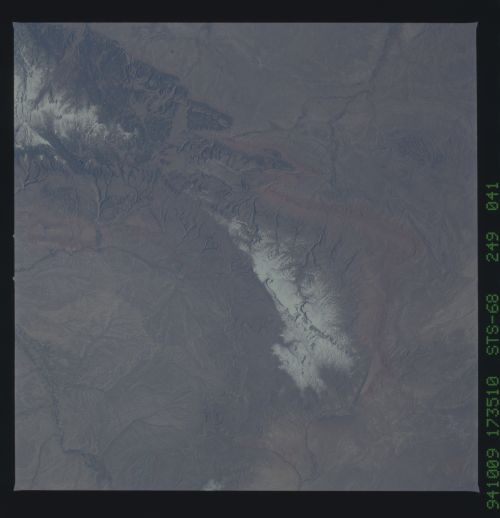
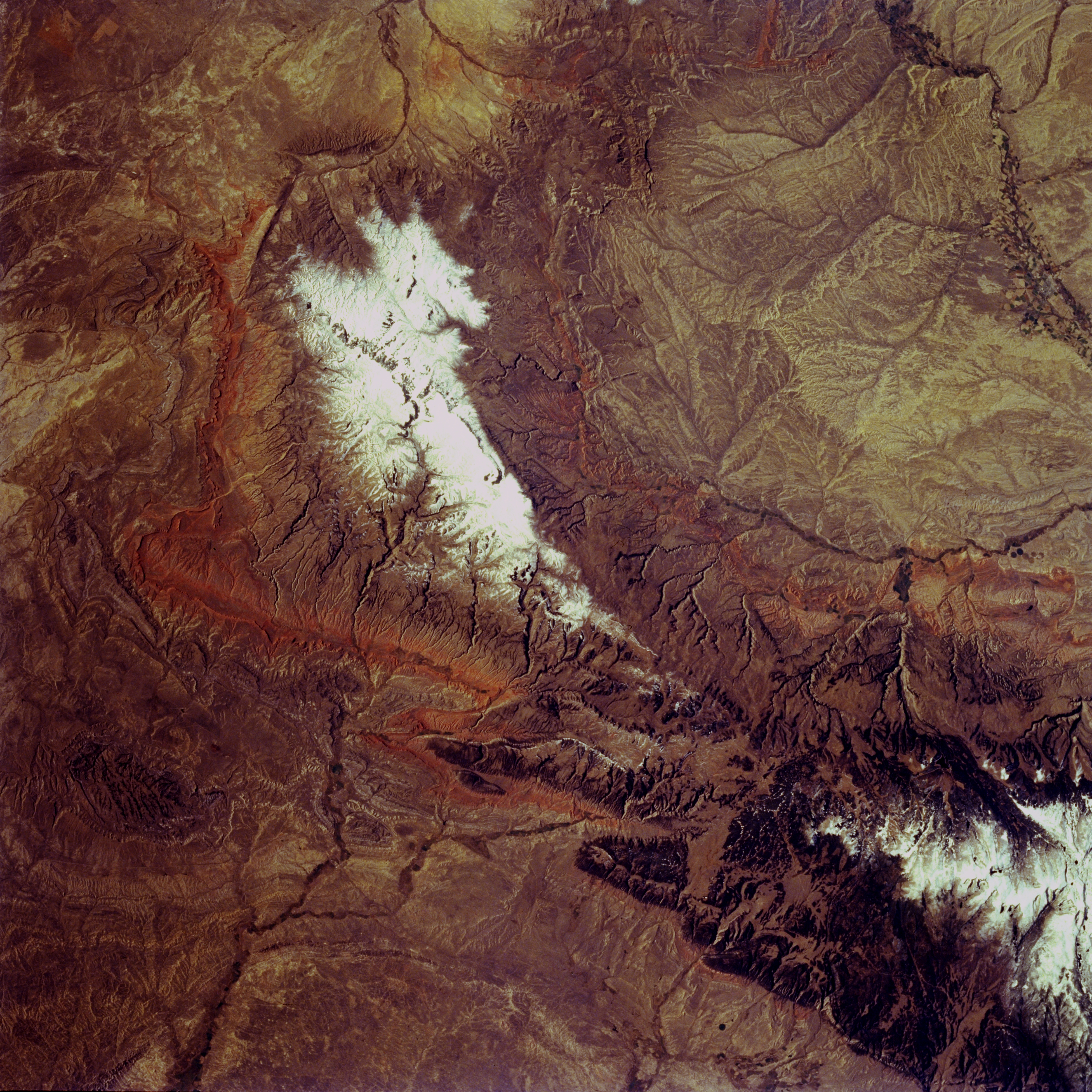
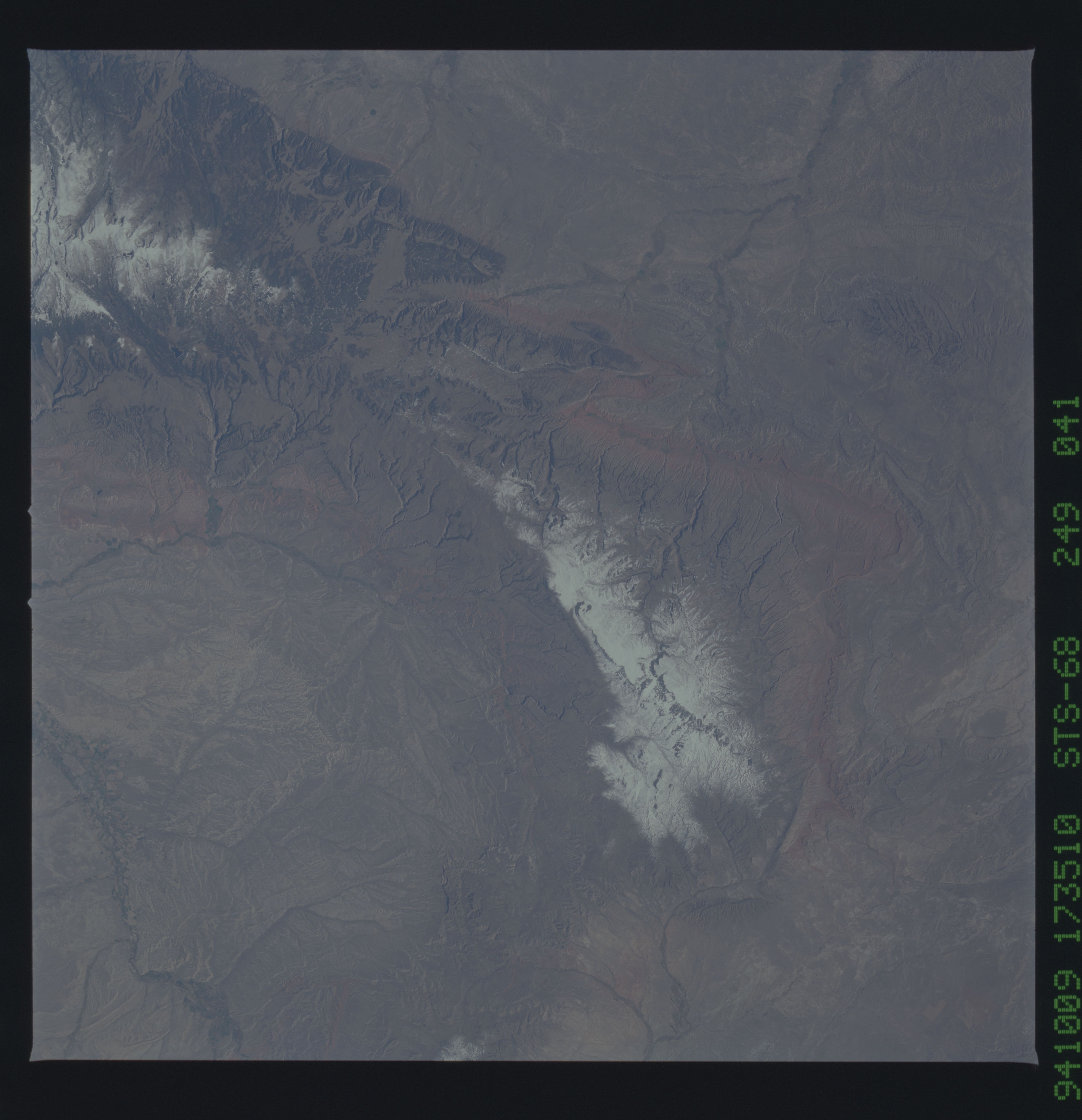
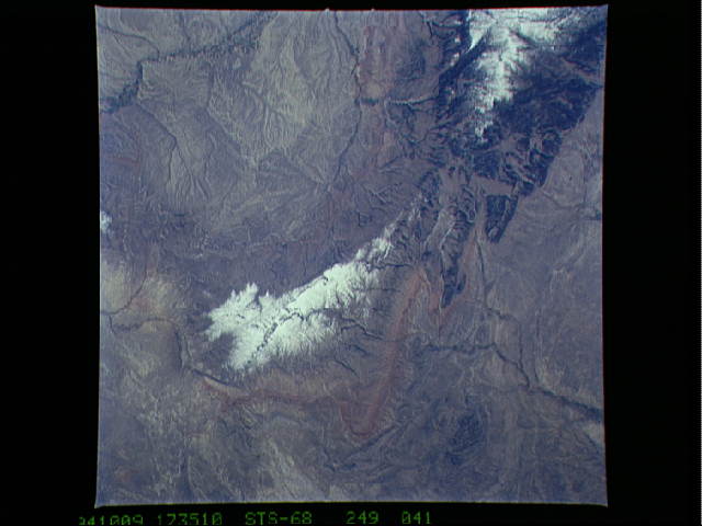
Image Caption: STS068-249-041 Southern Bighorn Mountains, Wyoming, U.S.A. October 1994
The snow-covered, southern Bighorn Mountains and Bighorn Basin are visible in this southwest-looking, low-oblique photograph. The southern Bighorns are not as high, as rugged, or as forest-covered as the Bighorn Mountains farther north (bottom right). Visible are the southeastern section of the Bighorn Basin and irrigated agricultural fields of the Bighorn River Valley. The middle fork of the Powder River (bottom left) is visible as it winds eastward into the Powder River Basin. A small portion of the Wind River Basin is visible to the west (upper right).
The snow-covered, southern Bighorn Mountains and Bighorn Basin are visible in this southwest-looking, low-oblique photograph. The southern Bighorns are not as high, as rugged, or as forest-covered as the Bighorn Mountains farther north (bottom right). Visible are the southeastern section of the Bighorn Basin and irrigated agricultural fields of the Bighorn River Valley. The middle fork of the Powder River (bottom left) is visible as it winds eastward into the Powder River Basin. A small portion of the Wind River Basin is visible to the west (upper right).
