STS068-247-85
| NASA Photo ID | STS068-247-85 |
| Focal Length | 250mm |
| Date taken | 1994.10.09 |
| Time taken | 17:38:55 GMT |
Resolutions offered for this image:
3904 x 3872 pixels 639 x 634 pixels 5700 x 5900 pixels 500 x 518 pixels 640 x 480 pixels
3904 x 3872 pixels 639 x 634 pixels 5700 x 5900 pixels 500 x 518 pixels 640 x 480 pixels
Cloud masks available for this image:
Spacecraft nadir point: 32.4° N, 93.6° W
Photo center point: 32.5° N, 95.5° W
Photo center point by machine learning:
Photo center point: 32.5° N, 95.5° W
Photo center point by machine learning:
Nadir to Photo Center: West
Spacecraft Altitude: 111 nautical miles (206km)
Country or Geographic Name: | USA-TEXAS |
Features: | TYLER, LAKES, AGRICULTURE |
| Features Found Using Machine Learning: | |
Cloud Cover Percentage: | 5 (1-10)% |
Sun Elevation Angle: | 51° |
Sun Azimuth: | 171° |
Camera: | Hasselblad |
Focal Length: | 250mm |
Camera Tilt: | 46 degrees |
Format: | 5046: Kodak, natural color positive, Lumiere 100/5046, ASA 100, standard base |
Film Exposure: | Normal |
| Additional Information | |
| Width | Height | Annotated | Cropped | Purpose | Links |
|---|---|---|---|---|---|
| 3904 pixels | 3872 pixels | No | No | Earth From Space collection | Download Image |
| 639 pixels | 634 pixels | No | No | Earth From Space collection | Download Image |
| 5700 pixels | 5900 pixels | No | No | Download Image | |
| 500 pixels | 518 pixels | No | No | Download Image | |
| 640 pixels | 480 pixels | No | No | Download Image |
Download Packaged File
Download a Google Earth KML for this Image
View photo footprint information
Download a GeoTIFF for this photo
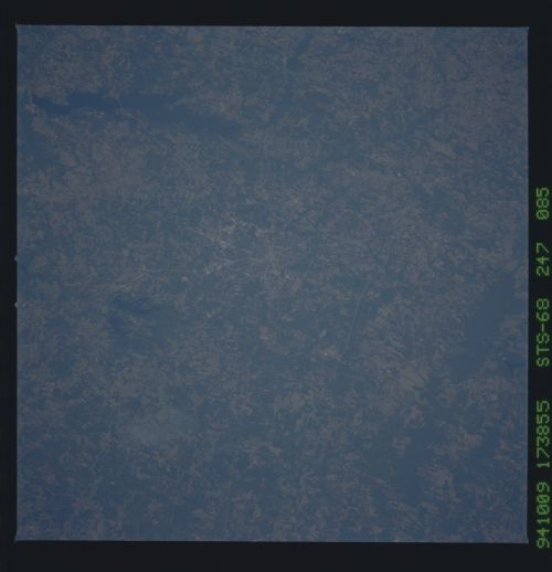
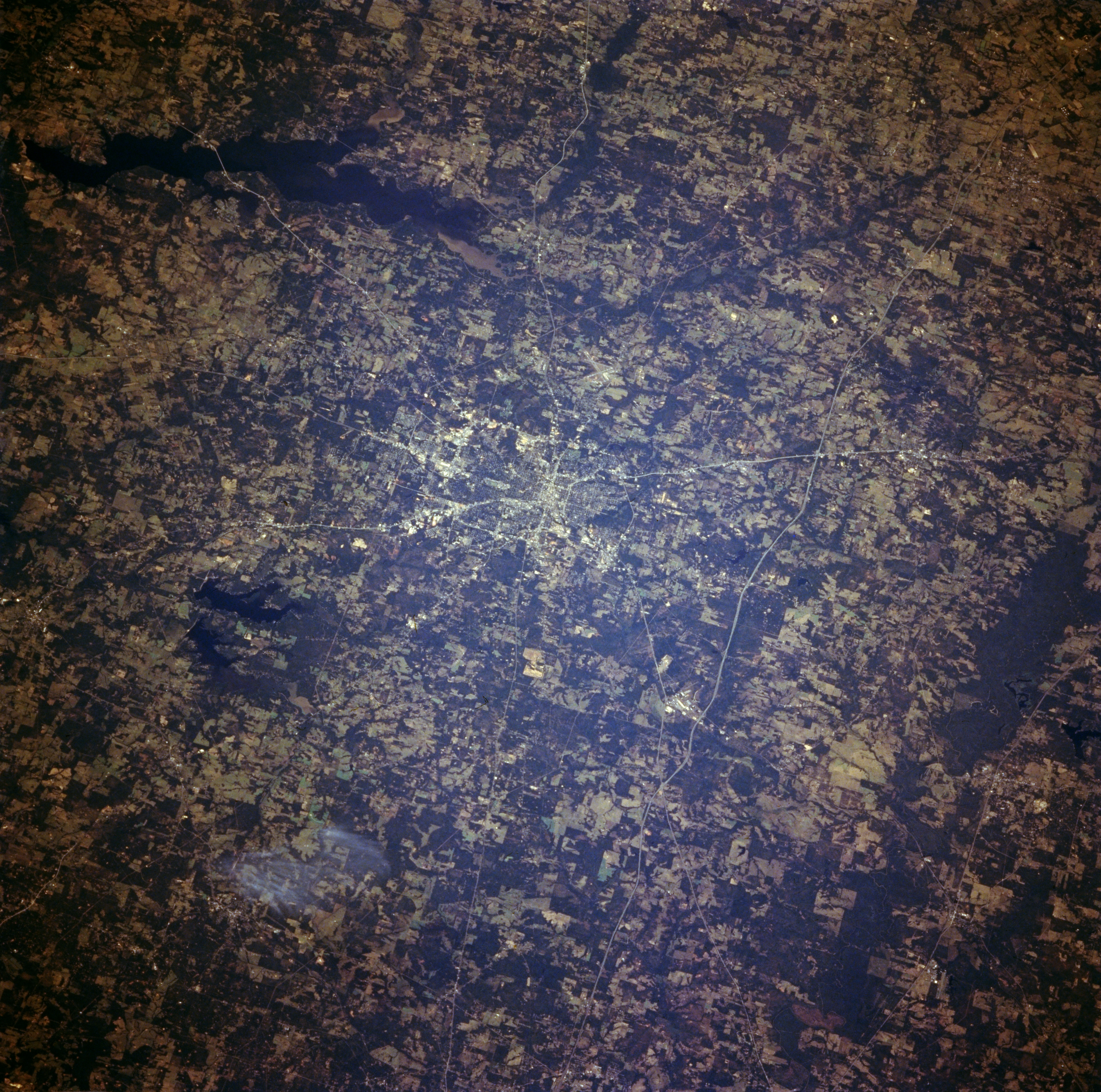
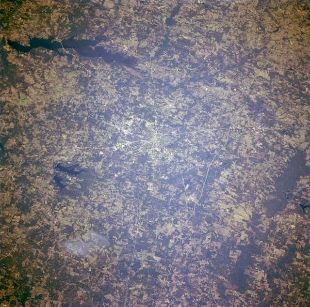
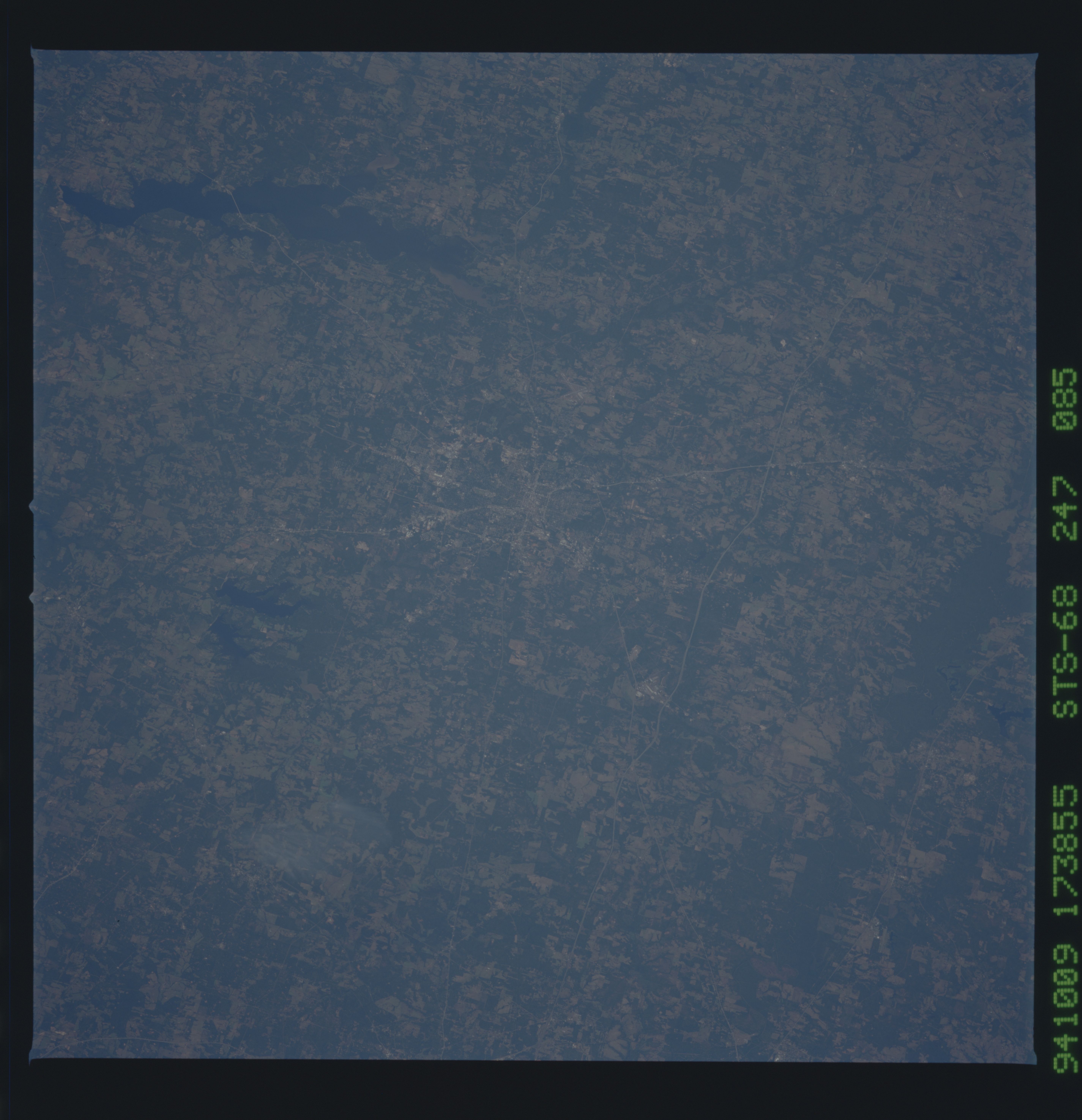
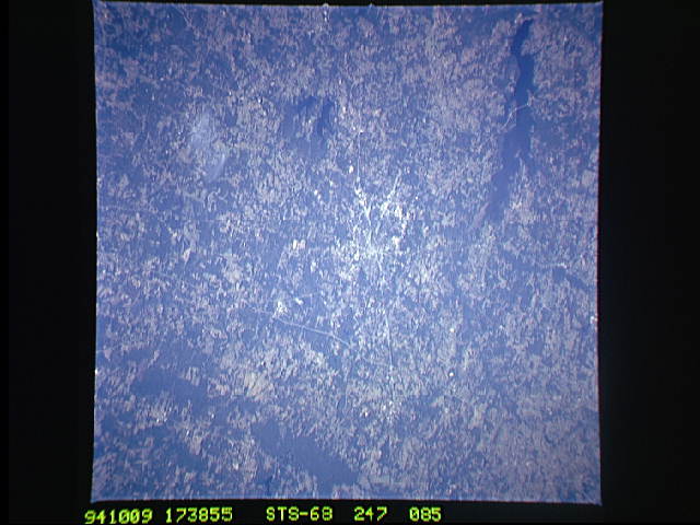
Image Caption: STS068-247-085 Tyler, Texas, U.S.A. October 1994
The northeast Texas city of Tyler is situated on rolling, sandy hills with substantial stands of pine trees. Several highways are discernible--east-west Interstate Highway 20 approximately 7 miles (10 kilometers) north of downtown; northwest-southeast U.S. Highway 69 and northeast-southwest Texas Highway 31 that pass through Tyler; and segments of a bypass that encircles the city. Three lakes are apparent--to the southeast, Lake Tyler and smaller Lake Tyler East and farther west, large, dark Lake Palestine with Texas Highway 155 crossing the lake near its southern end.
The northeast Texas city of Tyler is situated on rolling, sandy hills with substantial stands of pine trees. Several highways are discernible--east-west Interstate Highway 20 approximately 7 miles (10 kilometers) north of downtown; northwest-southeast U.S. Highway 69 and northeast-southwest Texas Highway 31 that pass through Tyler; and segments of a bypass that encircles the city. Three lakes are apparent--to the southeast, Lake Tyler and smaller Lake Tyler East and farther west, large, dark Lake Palestine with Texas Highway 155 crossing the lake near its southern end.
