STS068-244-16
| NASA Photo ID | STS068-244-16 |
| Focal Length | 250mm |
| Date taken | 1994.10.06 |
| Time taken | 20:11:50 GMT |
Resolutions offered for this image:
3872 x 3904 pixels 634 x 639 pixels 5700 x 5900 pixels 500 x 518 pixels 640 x 480 pixels
3872 x 3904 pixels 634 x 639 pixels 5700 x 5900 pixels 500 x 518 pixels 640 x 480 pixels
Cloud masks available for this image:
Spacecraft nadir point: 39.3° N, 122.8° W
Photo center point: 39.0° N, 121.5° W
Photo center point by machine learning:
Photo center point: 39.0° N, 121.5° W
Photo center point by machine learning:
Nadir to Photo Center: East
Spacecraft Altitude: 116 nautical miles (215km)
Country or Geographic Name: | USA-CALIFORNIA |
Features: | MARYSVILLE, SACRAMENTO R |
| Features Found Using Machine Learning: | |
Cloud Cover Percentage: | 0 (no clouds present) |
Sun Elevation Angle: | 45° |
Sun Azimuth: | 184° |
Camera: | Hasselblad |
Focal Length: | 250mm |
Camera Tilt: | Near Vertical |
Format: | 5046: Kodak, natural color positive, Lumiere 100/5046, ASA 100, standard base |
Film Exposure: | Normal |
| Additional Information | |
| Width | Height | Annotated | Cropped | Purpose | Links |
|---|---|---|---|---|---|
| 3872 pixels | 3904 pixels | No | No | Earth From Space collection | Download Image |
| 634 pixels | 639 pixels | No | No | Earth From Space collection | Download Image |
| 5700 pixels | 5900 pixels | No | No | Download Image | |
| 500 pixels | 518 pixels | No | No | Download Image | |
| 640 pixels | 480 pixels | No | No | Download Image |
Download Packaged File
Download a Google Earth KML for this Image
View photo footprint information
Download a GeoTIFF for this photo
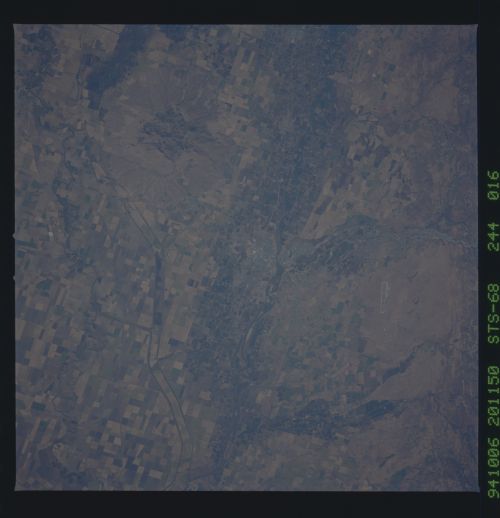
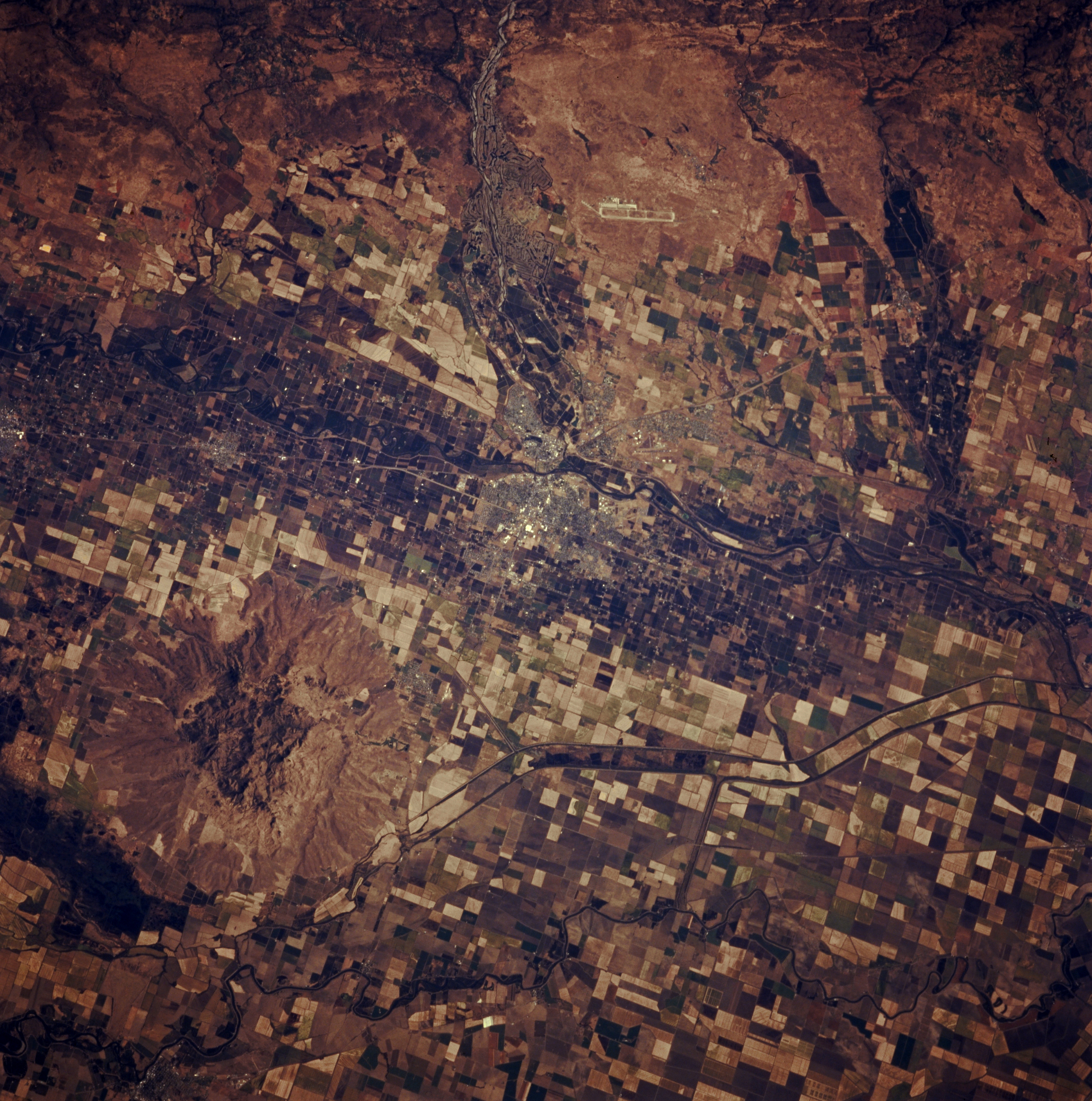
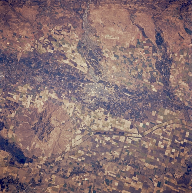
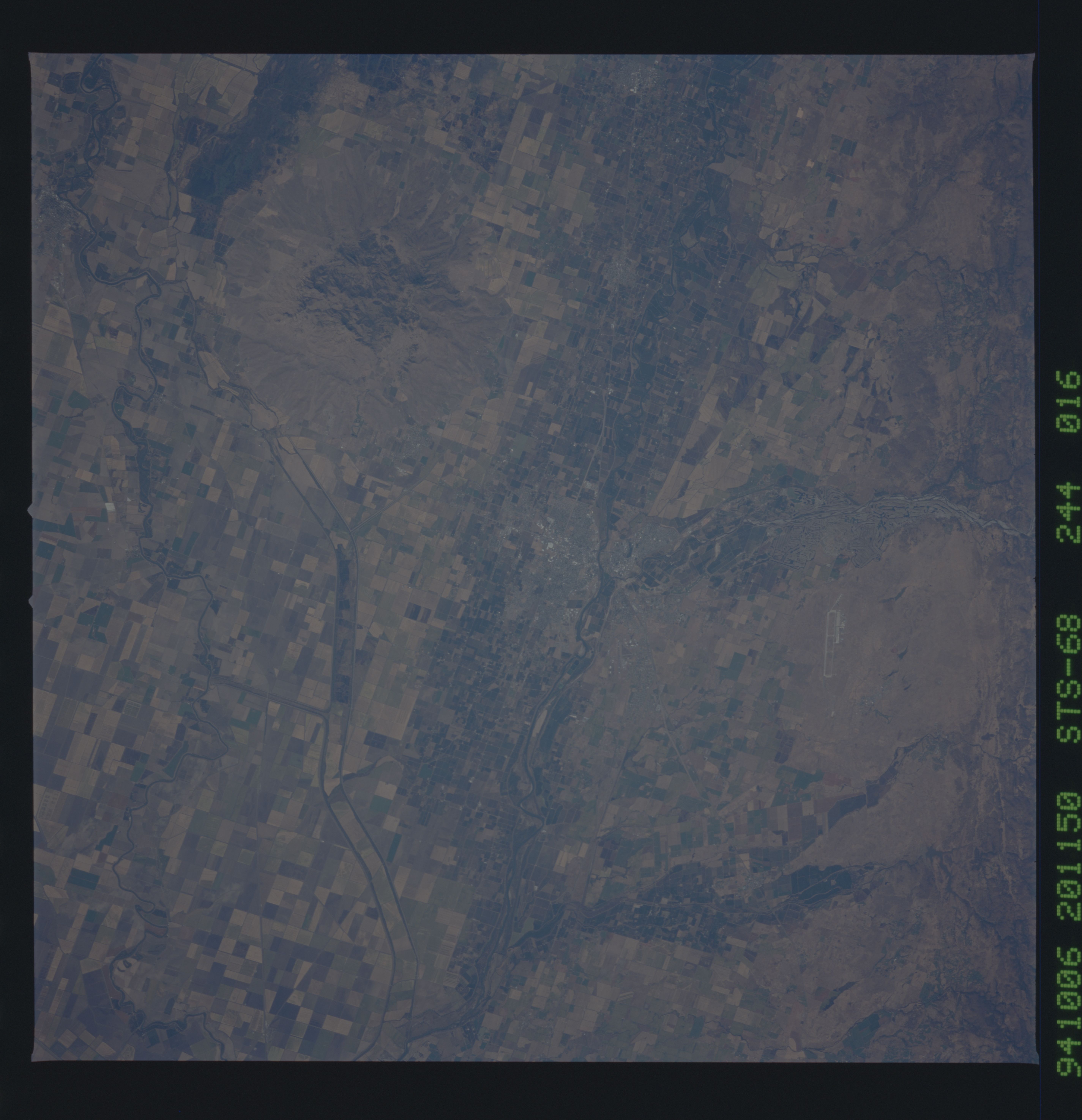
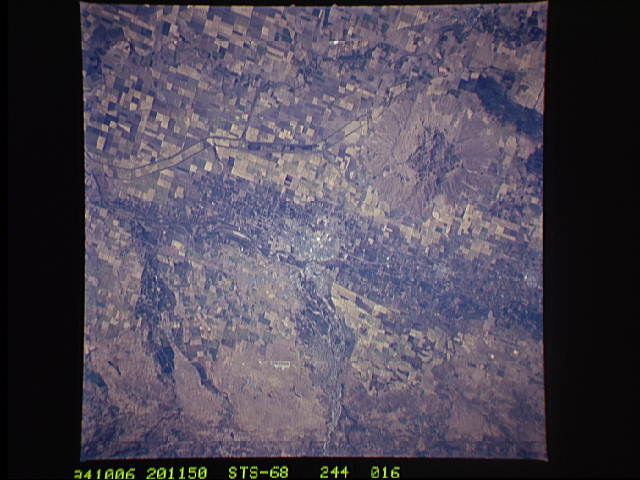
Image Caption: STS068-244-016 Yuba City and Sutter Buttes, California, U.S.A. October 1994
The agricultural fields near Yuba City and Sutter Buttes within the Sacramento Valley are captured in this low-oblique, east-looking photograph. The volcanic peaks of Sutter Buttes [2132 feet (605 meters)] dominate the lower Sacramento Valley. Yuba City, founded in 1849 during the great California Gold Rush, is located on the Feather River. Visible east of Yuba City and the small city of Marysville are the large runways of Beale Air Force Base. Irrigation canals west of Yuba City extend north past Sutter Buttes. The area supports agricultural and dairy farming and stock raising.
The agricultural fields near Yuba City and Sutter Buttes within the Sacramento Valley are captured in this low-oblique, east-looking photograph. The volcanic peaks of Sutter Buttes [2132 feet (605 meters)] dominate the lower Sacramento Valley. Yuba City, founded in 1849 during the great California Gold Rush, is located on the Feather River. Visible east of Yuba City and the small city of Marysville are the large runways of Beale Air Force Base. Irrigation canals west of Yuba City extend north past Sutter Buttes. The area supports agricultural and dairy farming and stock raising.
