STS068-239-83

| NASA Photo ID | STS068-239-83 |
| Focal Length | 250mm |
| Date taken | 1994.10.02 |
| Time taken | 06:41:57 GMT |
Resolutions offered for this image:
5285 x 5285 pixels 639 x 639 pixels 5700 x 5900 pixels 500 x 518 pixels 640 x 480 pixels 2513 x 2514 pixels 2513 x 2514 pixels
5285 x 5285 pixels 639 x 639 pixels 5700 x 5900 pixels 500 x 518 pixels 640 x 480 pixels 2513 x 2514 pixels 2513 x 2514 pixels

Cloud masks available for this image:
Spacecraft nadir point: 38.4° N, 107.4° E
Photo center point: 38.5° N, 106.0° E
Photo center point by machine learning:
Photo center point: 38.5° N, 106.0° E
Photo center point by machine learning:
Nadir to Photo Center: West
Spacecraft Altitude: 118 nautical miles (219km)
Country or Geographic Name: | CHINA |
Features: | HSIN-CH'ENG, AGR, HUANG R. |
| Features Found Using Machine Learning: | |
Cloud Cover Percentage: | 0 (no clouds present) |
Sun Elevation Angle: | 40° |
Sun Azimuth: | 221° |
Camera: | Hasselblad |
Focal Length: | 250mm |
Camera Tilt: | 36 degrees |
Format: | 5046: Kodak, natural color positive, Lumiere 100/5046, ASA 100, standard base |
Film Exposure: | Normal |
| Additional Information | |
| Width | Height | Annotated | Cropped | Purpose | Links |
|---|---|---|---|---|---|
| 5285 pixels | 5285 pixels | No | No | Earth From Space collection | Download Image |
| 639 pixels | 639 pixels | No | No | Earth From Space collection | Download Image |
| 5700 pixels | 5900 pixels | No | No | Download Image | |
| 500 pixels | 518 pixels | No | No | Download Image | |
| 640 pixels | 480 pixels | No | No | Download Image | |
| 2513 pixels | 2514 pixels | Download Image | |||
| 2513 pixels | 2514 pixels | Download Image |
Download Packaged File
Download a Google Earth KML for this Image
View photo footprint information
Download a GeoTIFF for this photo
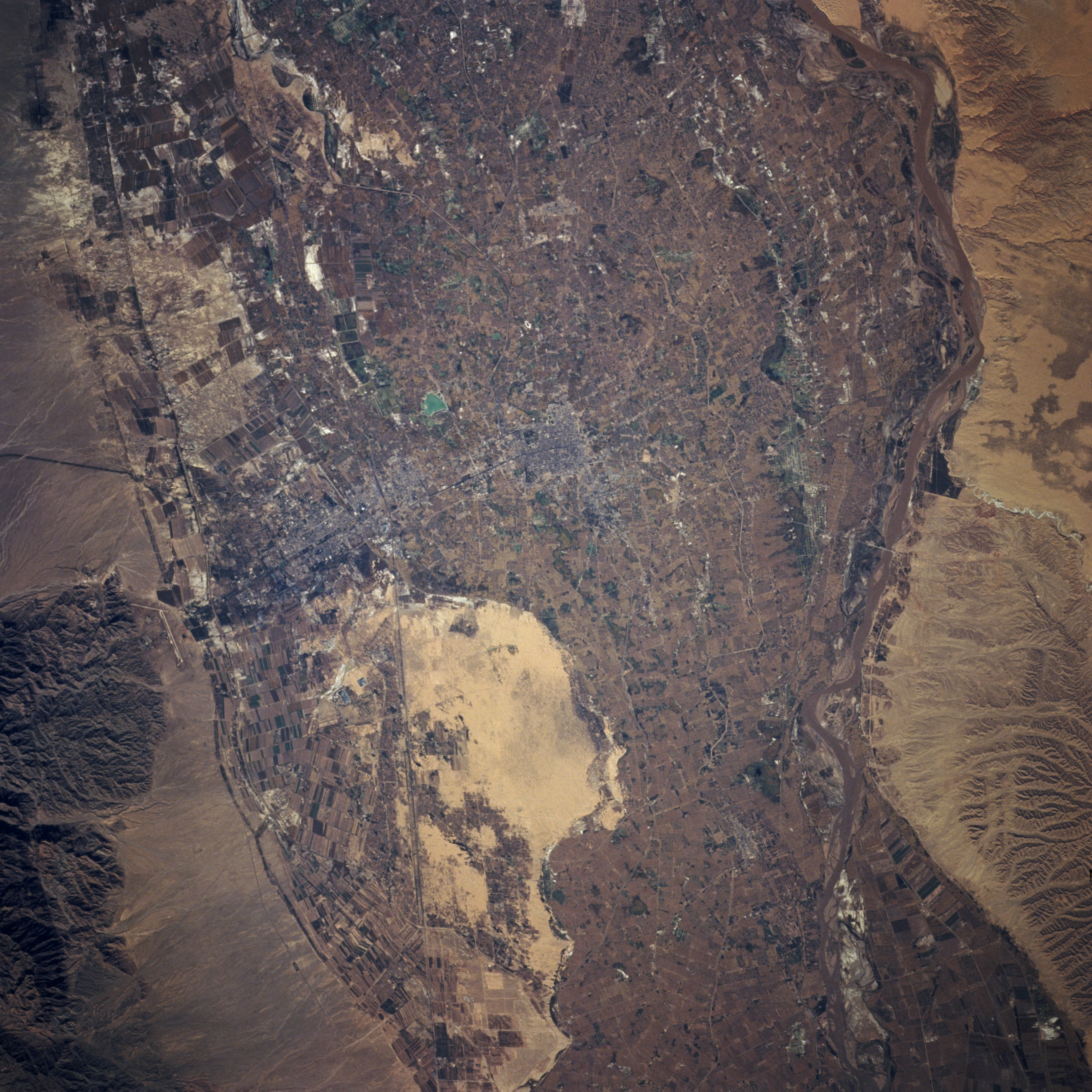
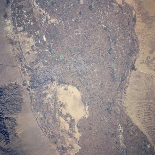
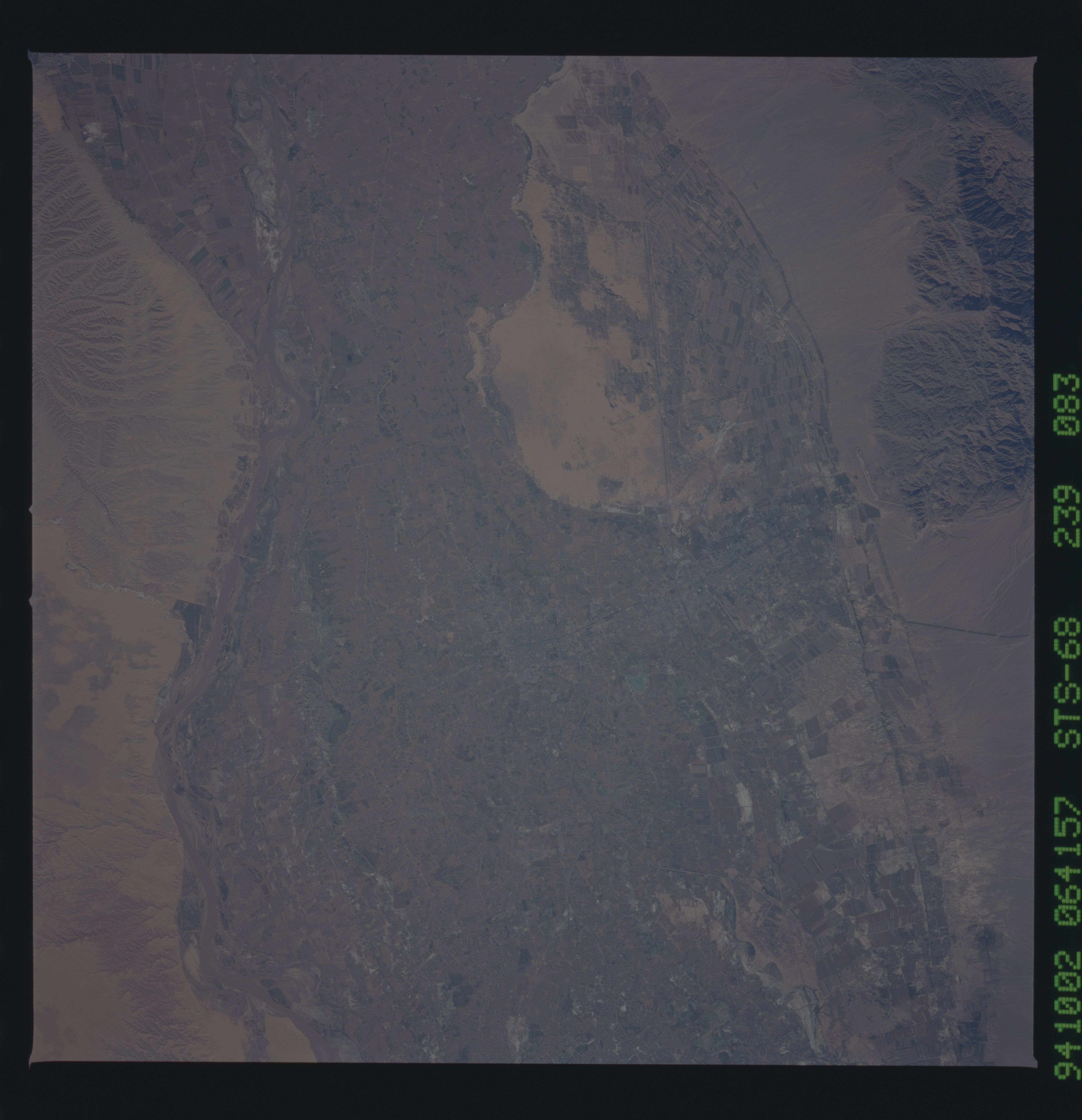
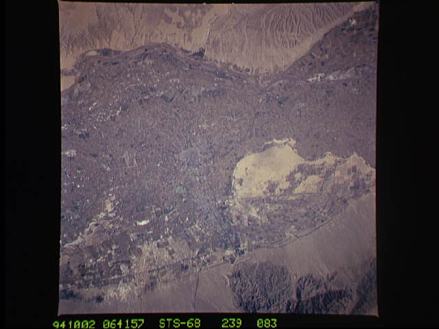
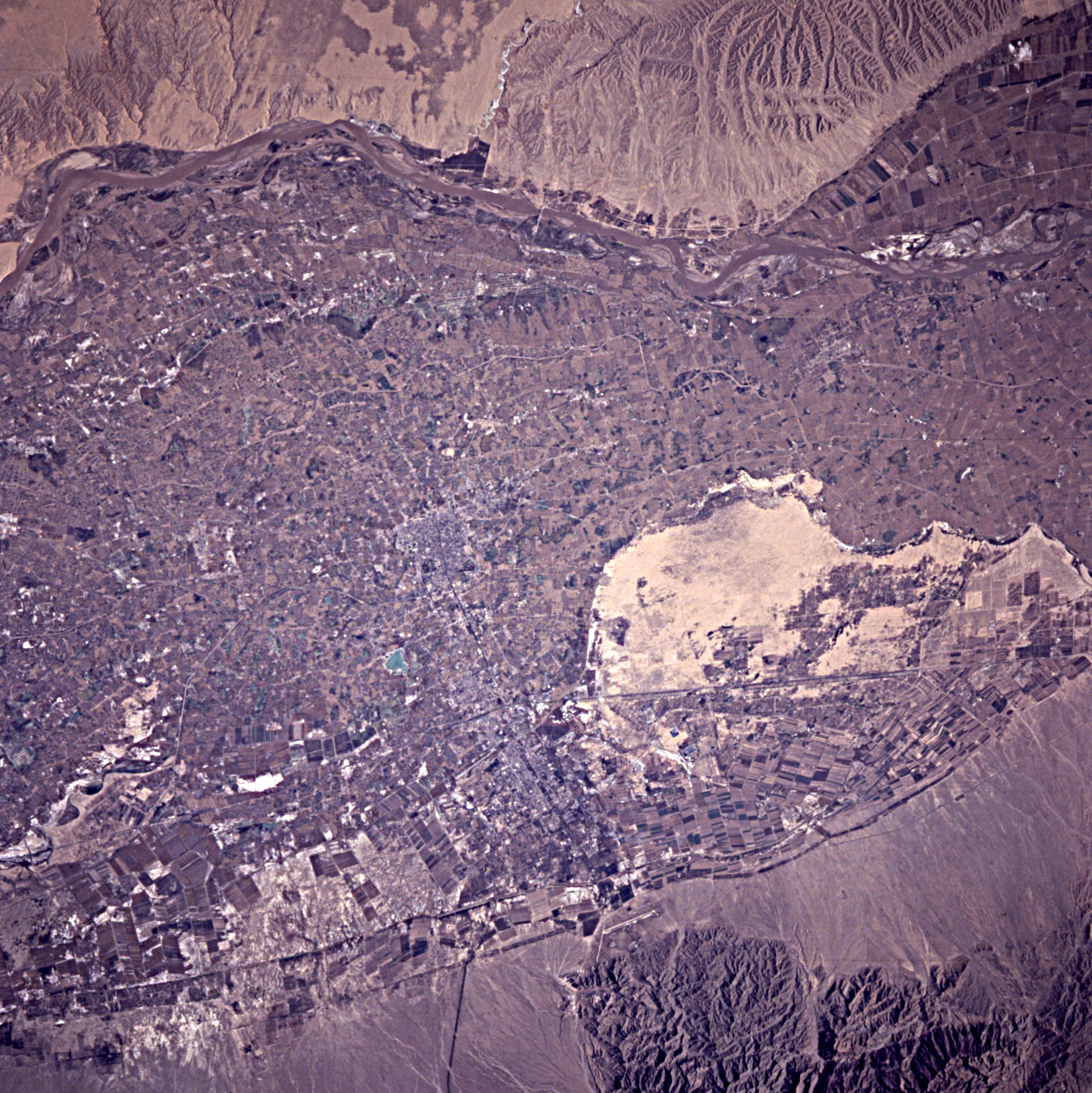
Image Caption: STS068-239-083 Huang He (Yellow River) Agriculture, China October 1994
Modern technology and more efficient irrigation techniques have increased the agricultural productivity in many parts of arid northwest China. This detailed photograph of the cultivated field patterns that surround the towns of Yinchuan and Xincheng (center of the photograph) illustrates the effectiveness of the Chinese in transforming steppe-deserts into productive farmlands. The main crops of this region are spring wheat, sorghum, corn, and sugar beets. The tan, uncultivated, sandy area south of the towns is a reminder of the desert-like conditions that exist just beyond the irrigated floodplain of the Huang He (Yellow River). The eastern bank of the muddy north-flowing Huang He has very few cultivated fields and is characterized by an arid drainage pattern; however, the western bank displays cultivated field patterns. Several manmade features are visible in this photograph--two airport runways (one built in a north-south alignment along the eastern slope of the Helan Mountains); a north-south-oriented railroad right-of-way; and numerous roads, canals, and irrigation ditches that crisscross the floodplain. (Photograph STS-068-162-120 provides a synoptic view of this area and a more expansive view of the northern Huang He.)
Modern technology and more efficient irrigation techniques have increased the agricultural productivity in many parts of arid northwest China. This detailed photograph of the cultivated field patterns that surround the towns of Yinchuan and Xincheng (center of the photograph) illustrates the effectiveness of the Chinese in transforming steppe-deserts into productive farmlands. The main crops of this region are spring wheat, sorghum, corn, and sugar beets. The tan, uncultivated, sandy area south of the towns is a reminder of the desert-like conditions that exist just beyond the irrigated floodplain of the Huang He (Yellow River). The eastern bank of the muddy north-flowing Huang He has very few cultivated fields and is characterized by an arid drainage pattern; however, the western bank displays cultivated field patterns. Several manmade features are visible in this photograph--two airport runways (one built in a north-south alignment along the eastern slope of the Helan Mountains); a north-south-oriented railroad right-of-way; and numerous roads, canals, and irrigation ditches that crisscross the floodplain. (Photograph STS-068-162-120 provides a synoptic view of this area and a more expansive view of the northern Huang He.)
