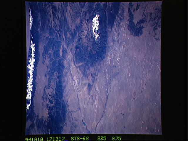
STS068-235-75

| NASA Photo ID | STS068-235-75 |
| Focal Length | 250mm |
| Date taken | 1994.10.10 |
| Time taken | 17:13:17 GMT |
Resolutions offered for this image:
5122 x 5122 pixels 640 x 640 pixels 5700 x 5900 pixels 500 x 518 pixels 640 x 480 pixels
5122 x 5122 pixels 640 x 640 pixels 5700 x 5900 pixels 500 x 518 pixels 640 x 480 pixels

Cloud masks available for this image:
Spacecraft nadir point: 40.4° N, 102.1° W
Photo center point: 38.5° N, 105.0° W
Photo center point by machine learning:
Photo center point: 38.5° N, 105.0° W
Photo center point by machine learning:
Nadir to Photo Center: Southwest
Spacecraft Altitude: 111 nautical miles (206km)
Country or Geographic Name: | USA-COLORADO |
Features: | PIKES PEAK, COL. SPRINGS |
| Features Found Using Machine Learning: | |
Cloud Cover Percentage: | 0 (no clouds present) |
Sun Elevation Angle: | 39° |
Sun Azimuth: | 153° |
Camera: | Hasselblad |
Focal Length: | 250mm |
Camera Tilt: | Low Oblique |
Format: | 5046: Kodak, natural color positive, Lumiere 100/5046, ASA 100, standard base |
Film Exposure: | Normal |
| Additional Information | |
| Width | Height | Annotated | Cropped | Purpose | Links |
|---|---|---|---|---|---|
| 5122 pixels | 5122 pixels | No | No | Earth From Space collection | Download Image |
| 640 pixels | 640 pixels | No | No | Earth From Space collection | Download Image |
| 5700 pixels | 5900 pixels | No | No | Download Image | |
| 500 pixels | 518 pixels | No | No | Download Image | |
| 640 pixels | 480 pixels | No | No | Download Image |
Download Packaged File
Download a Google Earth KML for this Image
View photo footprint information
Download a GeoTIFF for this photo
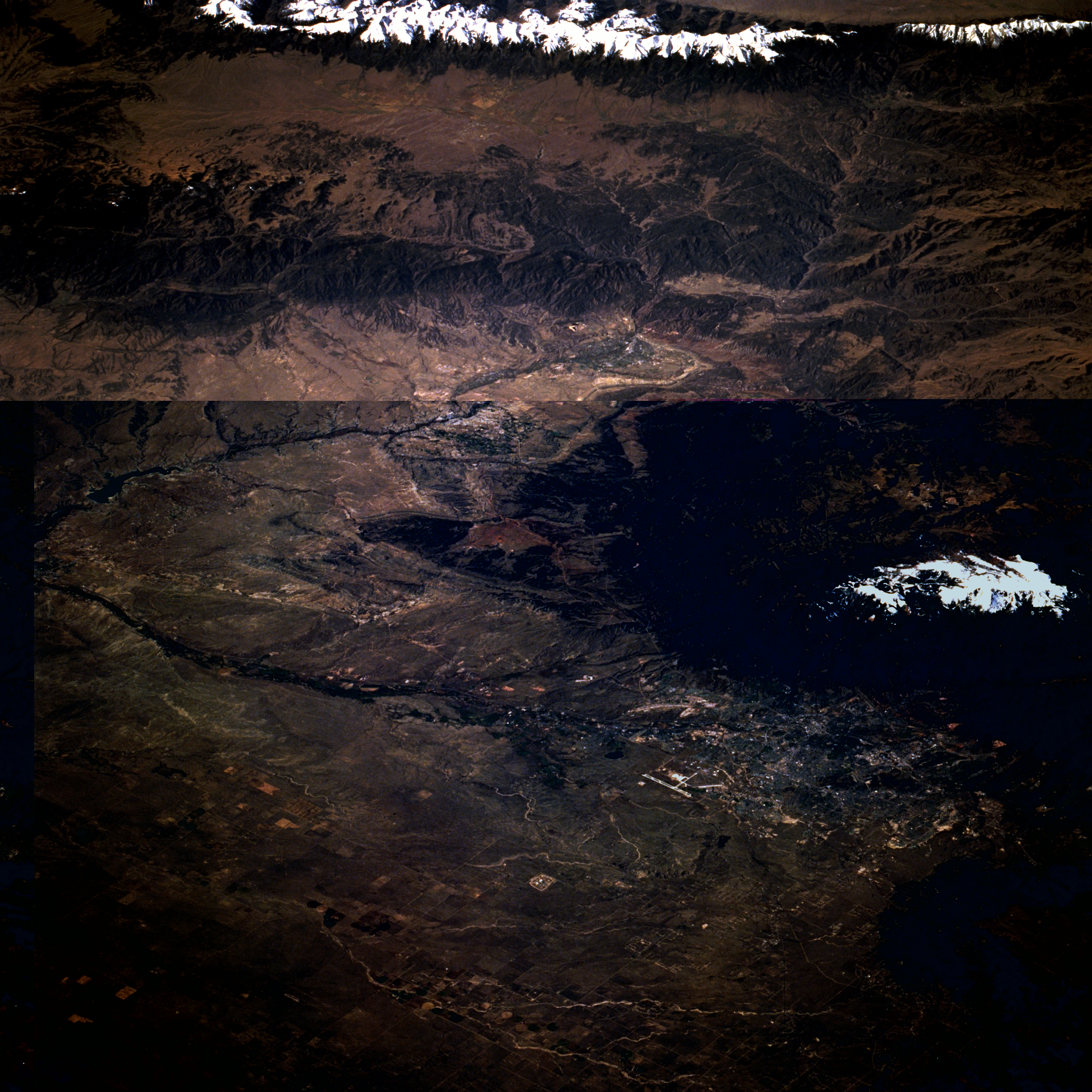
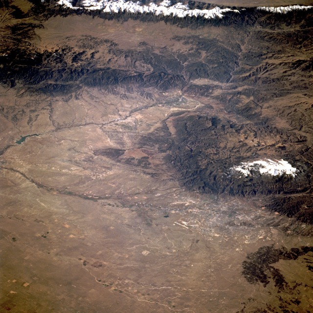
Image Caption: STS068-235-075 Colorado Springs and Pikes Peak, Colorado, U.S.A. October 1994
Sitting at the foot of Pikes Peak, Colorado Springs [located 60 miles (100 kilometers) south of Denver] can be seen in this southwest-looking, low-oblique photograph. The city grew as a trade center for the Cripple Creek gold field in the 1870s. Pikes Peak, discovered in 1806 by Zebulun Pike, is located in the Front Range of the Rocky Mountains. The mountain is a tourist attraction noted for the view from its generally snowcapped summit, which can be reached by cog railway or highway. Colorado Springs is a beautiful residential and year-round vacation and resort city, with thriving industries producing a wide variety of products. Many mineral springs are located nearby, and the U.S. Air Force Academy is situated north-northwest of the city. Geographic features visible in the photograph are the Arkansas River Valley (south of Colorado Springs), the forest-covered Wet Mountains (southwest of Colorado Springs), and the snow-covered Sangre de Cristo Mountains (hugging the western edge of the photograph).
Sitting at the foot of Pikes Peak, Colorado Springs [located 60 miles (100 kilometers) south of Denver] can be seen in this southwest-looking, low-oblique photograph. The city grew as a trade center for the Cripple Creek gold field in the 1870s. Pikes Peak, discovered in 1806 by Zebulun Pike, is located in the Front Range of the Rocky Mountains. The mountain is a tourist attraction noted for the view from its generally snowcapped summit, which can be reached by cog railway or highway. Colorado Springs is a beautiful residential and year-round vacation and resort city, with thriving industries producing a wide variety of products. Many mineral springs are located nearby, and the U.S. Air Force Academy is situated north-northwest of the city. Geographic features visible in the photograph are the Arkansas River Valley (south of Colorado Springs), the forest-covered Wet Mountains (southwest of Colorado Springs), and the snow-covered Sangre de Cristo Mountains (hugging the western edge of the photograph).
