STS068-235-55
| NASA Photo ID | STS068-235-55 |
| Focal Length | 250mm |
| Date taken | 1994.10.10 |
| Time taken | 17:08:20 GMT |
Cloud masks available for this image:
Spacecraft nadir point: 52.4° N, 124.5° W
Photo center point: 51.5° N, 126.0° W
Photo center point by machine learning:
Photo center point: 51.5° N, 126.0° W
Photo center point by machine learning:
Nadir to Photo Center: Southwest
Spacecraft Altitude: 110 nautical miles (204km)
Country or Geographic Name: | CANADA-BC |
Features: | COAST MOUNTAINS, GLACIERS |
| Features Found Using Machine Learning: | |
Cloud Cover Percentage: | 5 (1-10)% |
Sun Elevation Angle: | 20° |
Sun Azimuth: | 133° |
Camera: | Hasselblad |
Focal Length: | 250mm |
Camera Tilt: | 44 degrees |
Format: | 5046: Kodak, natural color positive, Lumiere 100/5046, ASA 100, standard base |
Film Exposure: | Normal |
| Additional Information | |
| Width | Height | Annotated | Cropped | Purpose | Links |
|---|---|---|---|---|---|
| 5700 pixels | 5900 pixels | No | No | Download Image | |
| 500 pixels | 518 pixels | No | No | Download Image | |
| 640 pixels | 480 pixels | No | No | Download Image |
Download Packaged File
Download a Google Earth KML for this Image
View photo footprint information
Download a GeoTIFF for this photo
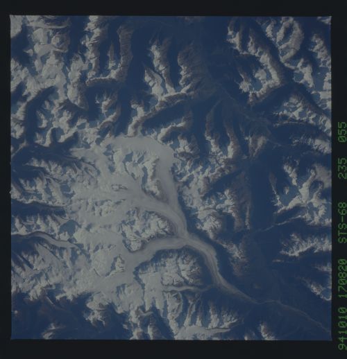
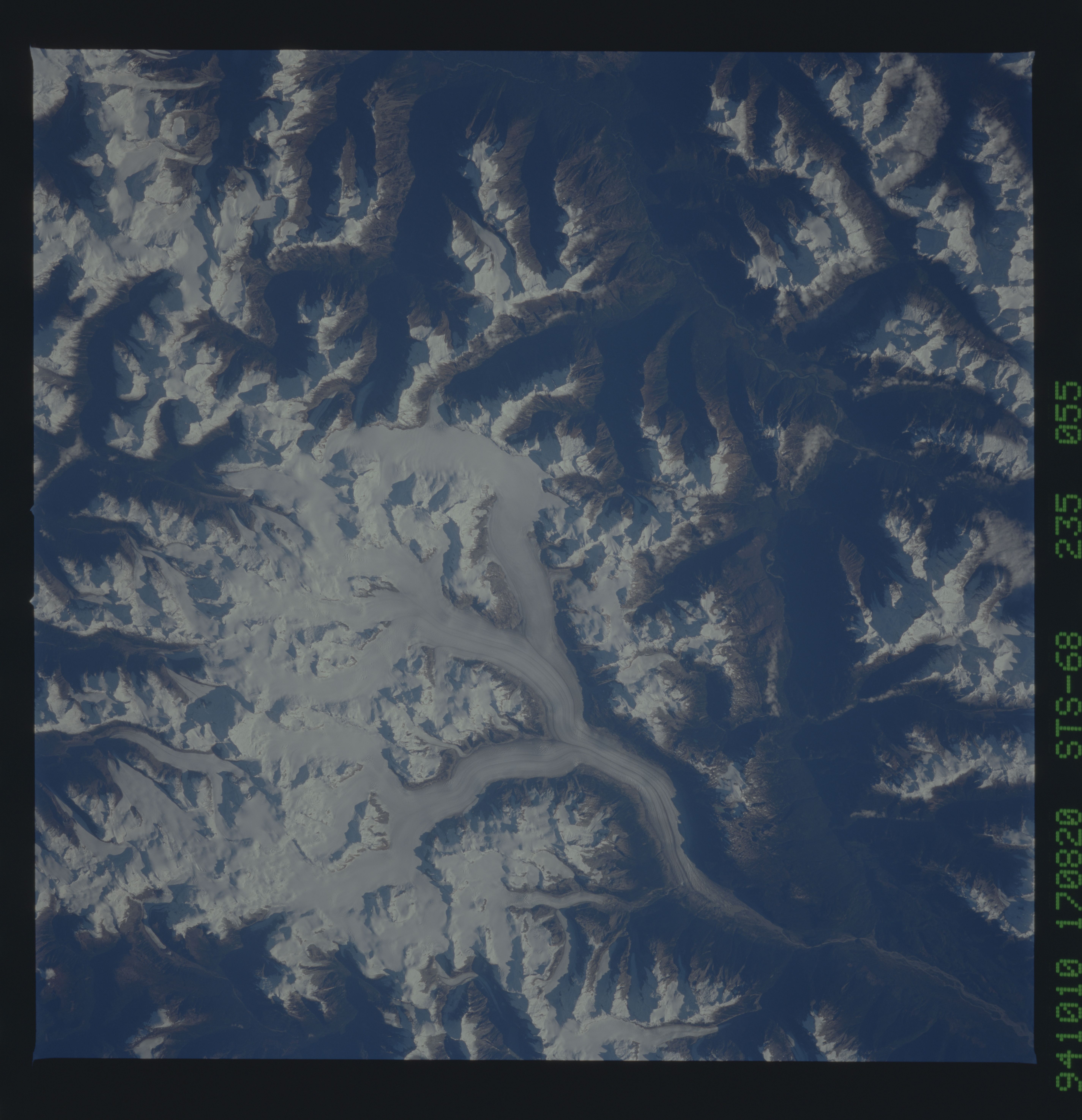
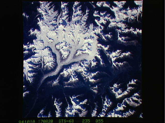
Image Caption: British Columbian Glaciers. Centerpoint about 51 .5N, 1
26W. Silverthrone and Klinaklint glaciers and icecap, above the
Klinaklint River that flows southward and then westward into the head
of Queen Charlotte Strait. The highest point on the glacier is 9450
feet; the river valley is less than 1000 feet.
26W. Silverthrone and Klinaklint glaciers and icecap, above the
Klinaklint River that flows southward and then westward into the head
of Queen Charlotte Strait. The highest point on the glacier is 9450
feet; the river valley is less than 1000 feet.
