STS068-234-54

| NASA Photo ID | STS068-234-54 |
| Focal Length | 250mm |
| Date taken | 1994.10.07 |
| Time taken | 21:47:24 GMT |
Resolutions offered for this image:
5239 x 5239 pixels 640 x 640 pixels 5700 x 5900 pixels 500 x 518 pixels 640 x 480 pixels
5239 x 5239 pixels 640 x 640 pixels 5700 x 5900 pixels 500 x 518 pixels 640 x 480 pixels
Cloud masks available for this image:
Spacecraft nadir point: 49.2° S, 72.5° W
Photo center point: 49.5° S, 72.5° W
Photo center point by machine learning:
Photo center point: 49.5° S, 72.5° W
Photo center point by machine learning:
Nadir to Photo Center: South
Spacecraft Altitude: 111 nautical miles (206km)
Camera: | Hasselblad |
Focal Length: | 250mm |
Camera Tilt: | 9 degrees |
Format: | 5046: Kodak, natural color positive, Lumiere 100/5046, ASA 100, standard base |
Film Exposure: | Normal |
| Additional Information | |
| Width | Height | Annotated | Cropped | Purpose | Links |
|---|---|---|---|---|---|
| 5239 pixels | 5239 pixels | No | No | Earth From Space collection | Download Image |
| 640 pixels | 640 pixels | No | No | Earth From Space collection | Download Image |
| 5700 pixels | 5900 pixels | No | No | Download Image | |
| 500 pixels | 518 pixels | No | No | Download Image | |
| 640 pixels | 480 pixels | No | No | Download Image |
Download Packaged File
Download a Google Earth KML for this Image
View photo footprint information
Download a GeoTIFF for this photo
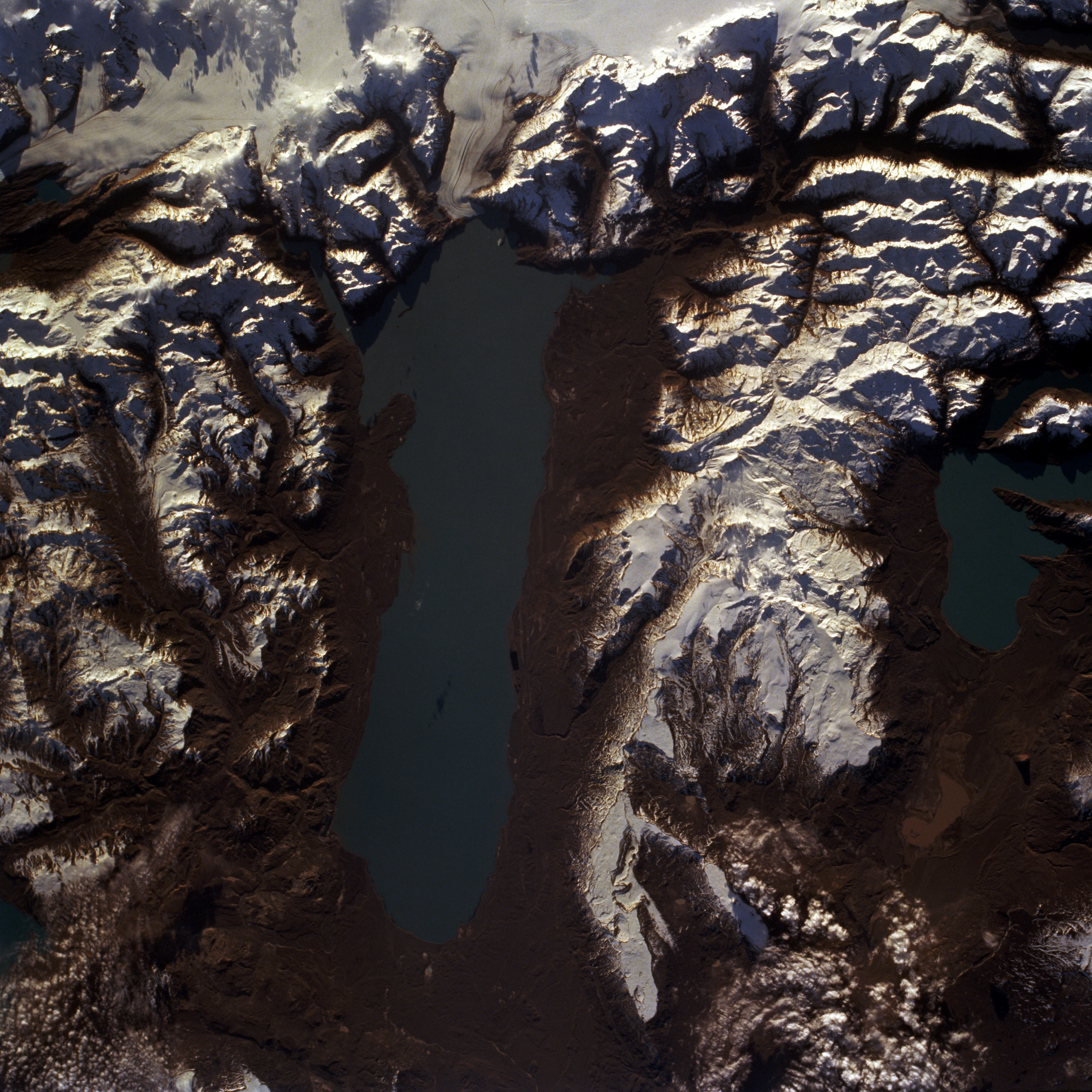
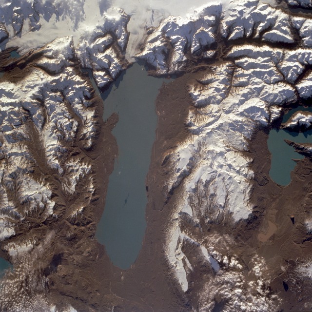
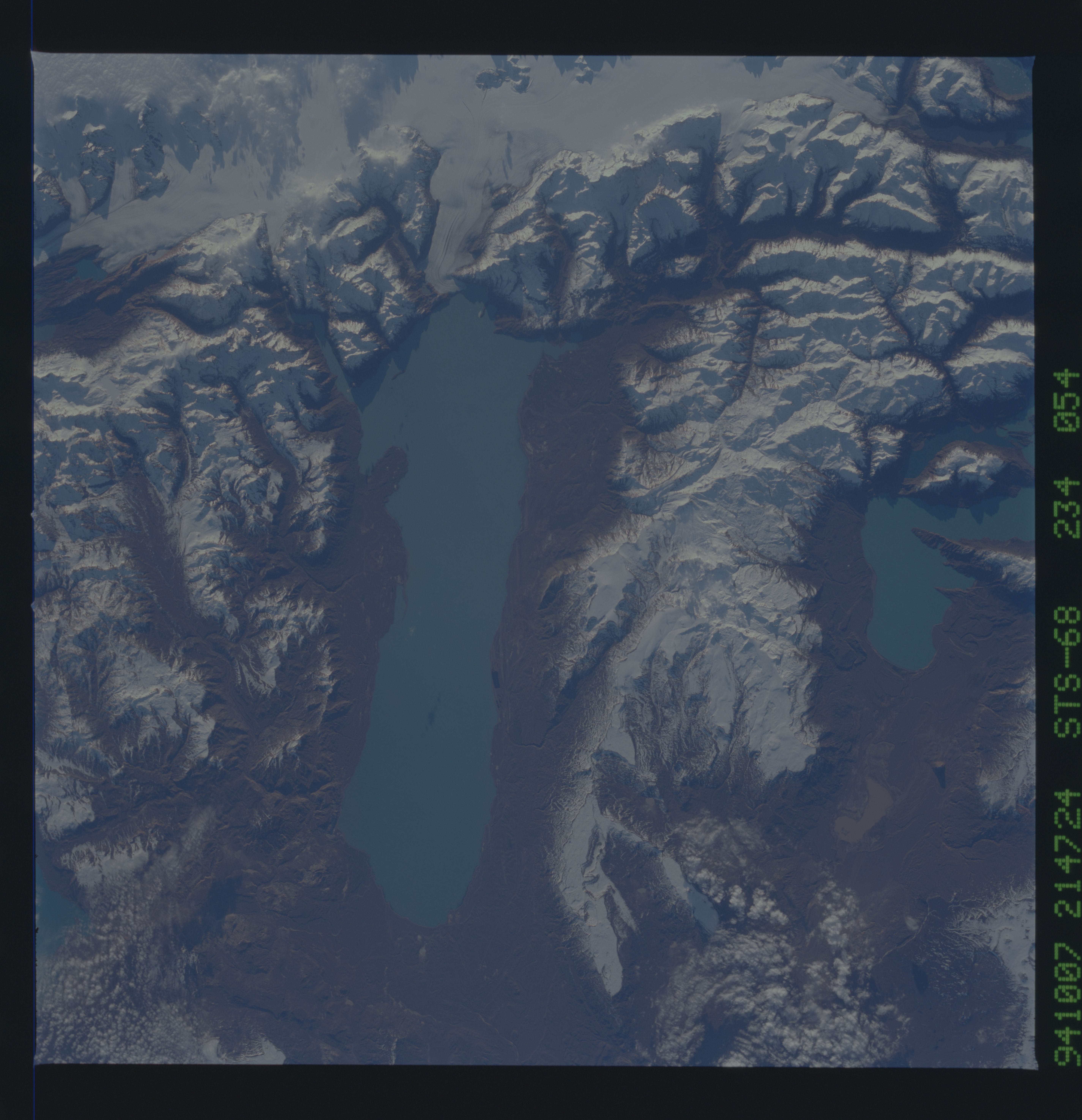
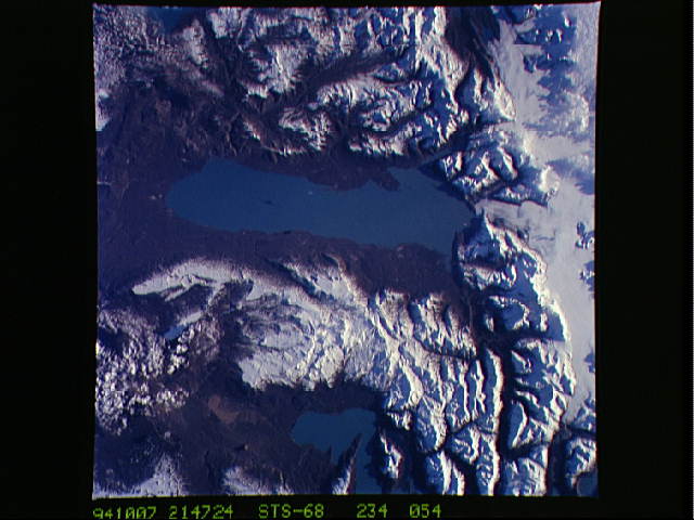
Image Caption: STS068-234-054 Lake Viedma, Santa Cruz Province, Argentina October 1994
Lake Viedma, approximately 50 miles (80 kilometers) long in extreme southwestern Argentina, is a major elongated trough lake formed from melting glacial ice. The lake is fed primarily by the Viedma Glacier at the western end of the lake. The Viedma Glacier measures 3 miles (5 kilometers) wide at its terminus at Lake Viedma. Medial moraines, appearing as dark linear strips in the glacier, were created when adjacent ice walls from different glaciers merged. Elevations within the snow-covered southern Andes Mountains range between 9000 and 11 000 feet (2740 and 3350 meters) above sea level. Numerous features associated with the glacial environment, including hanging valleys, tarns, cirques, horns, aretes, and U-shaped valleys, are visible in this near-vertical photograph. The brown landscape resulted from ice scouring, which left virtually no vegetation on the steep-walled valleys. The blue lake near the northern edge of the photograph is a small segment of Lake San Martin.
Lake Viedma, approximately 50 miles (80 kilometers) long in extreme southwestern Argentina, is a major elongated trough lake formed from melting glacial ice. The lake is fed primarily by the Viedma Glacier at the western end of the lake. The Viedma Glacier measures 3 miles (5 kilometers) wide at its terminus at Lake Viedma. Medial moraines, appearing as dark linear strips in the glacier, were created when adjacent ice walls from different glaciers merged. Elevations within the snow-covered southern Andes Mountains range between 9000 and 11 000 feet (2740 and 3350 meters) above sea level. Numerous features associated with the glacial environment, including hanging valleys, tarns, cirques, horns, aretes, and U-shaped valleys, are visible in this near-vertical photograph. The brown landscape resulted from ice scouring, which left virtually no vegetation on the steep-walled valleys. The blue lake near the northern edge of the photograph is a small segment of Lake San Martin.
