STS068-230-86
| NASA Photo ID | STS068-230-86 |
| Focal Length | 250mm |
| Date taken | 1994.10.01 |
| Time taken | 18:48:17 GMT |
Resolutions offered for this image:
3831 x 3936 pixels 622 x 639 pixels 5700 x 5900 pixels 500 x 518 pixels 640 x 480 pixels
3831 x 3936 pixels 622 x 639 pixels 5700 x 5900 pixels 500 x 518 pixels 640 x 480 pixels

Cloud masks available for this image:
Spacecraft nadir point: 46.5° N, 83.4° W
Photo center point: 45.0° N, 83.5° W
Photo center point by machine learning:
Photo center point: 45.0° N, 83.5° W
Photo center point by machine learning:
Nadir to Photo Center: South
Spacecraft Altitude: 118 nautical miles (219km)
Camera: | Hasselblad |
Focal Length: | 250mm |
Camera Tilt: | 37 degrees |
Format: | 5046: Kodak, natural color positive, Lumiere 100/5046, ASA 100, standard base |
Film Exposure: | Normal |
| Additional Information | |
| Width | Height | Annotated | Cropped | Purpose | Links |
|---|---|---|---|---|---|
| 3831 pixels | 3936 pixels | No | No | Earth From Space collection | Download Image |
| 622 pixels | 639 pixels | No | No | Earth From Space collection | Download Image |
| 5700 pixels | 5900 pixels | No | No | Download Image | |
| 500 pixels | 518 pixels | No | No | Download Image | |
| 640 pixels | 480 pixels | No | No | Download Image |
Download Packaged File
Download a Google Earth KML for this Image
View photo footprint information
Download a GeoTIFF for this photo
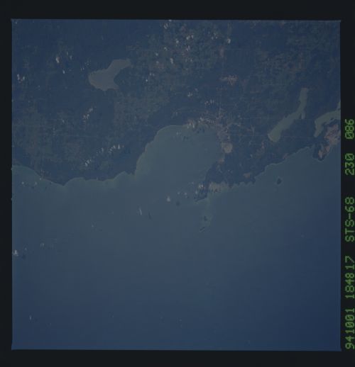
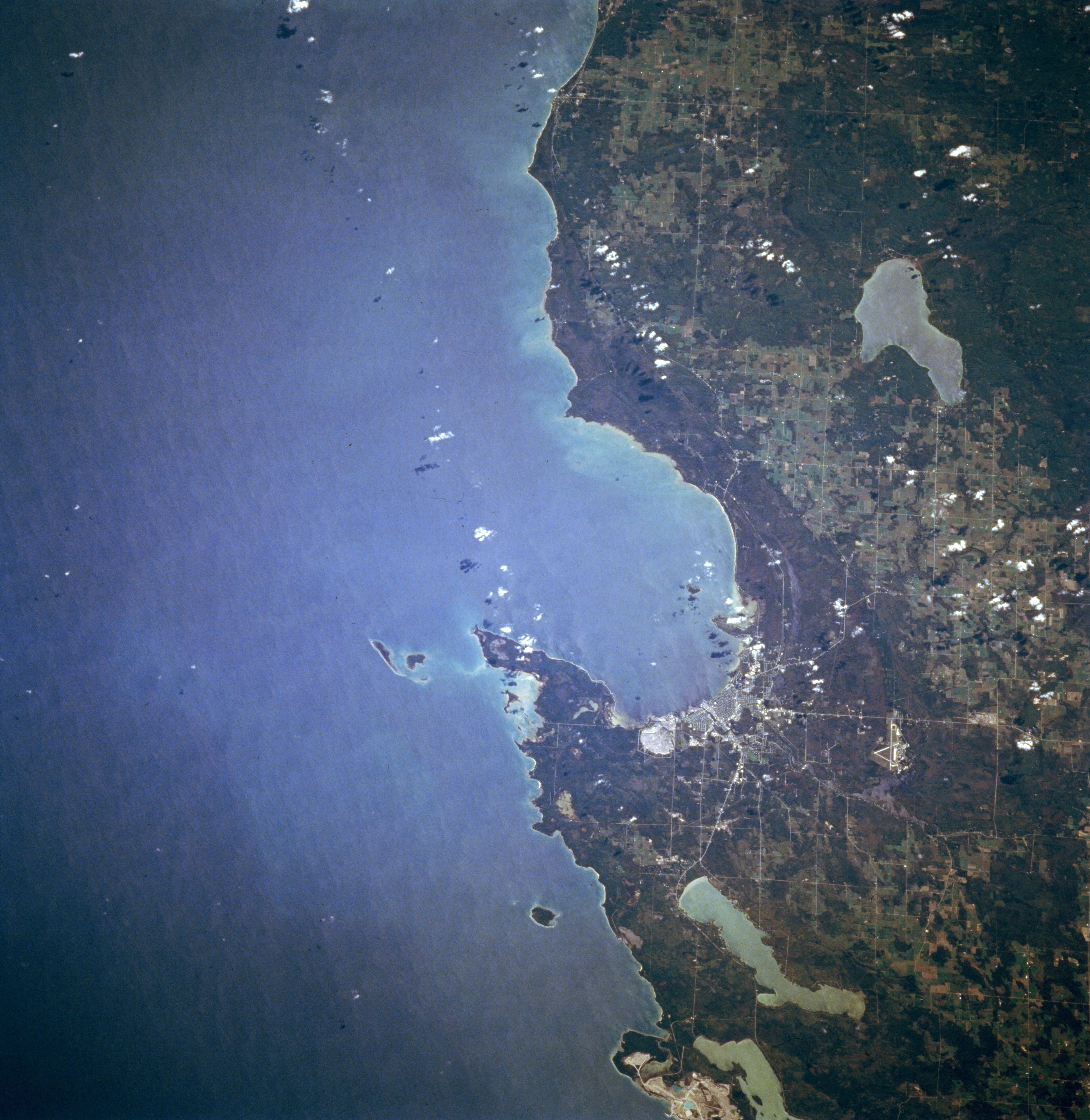
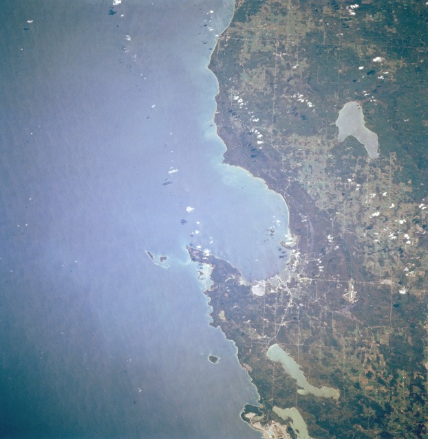
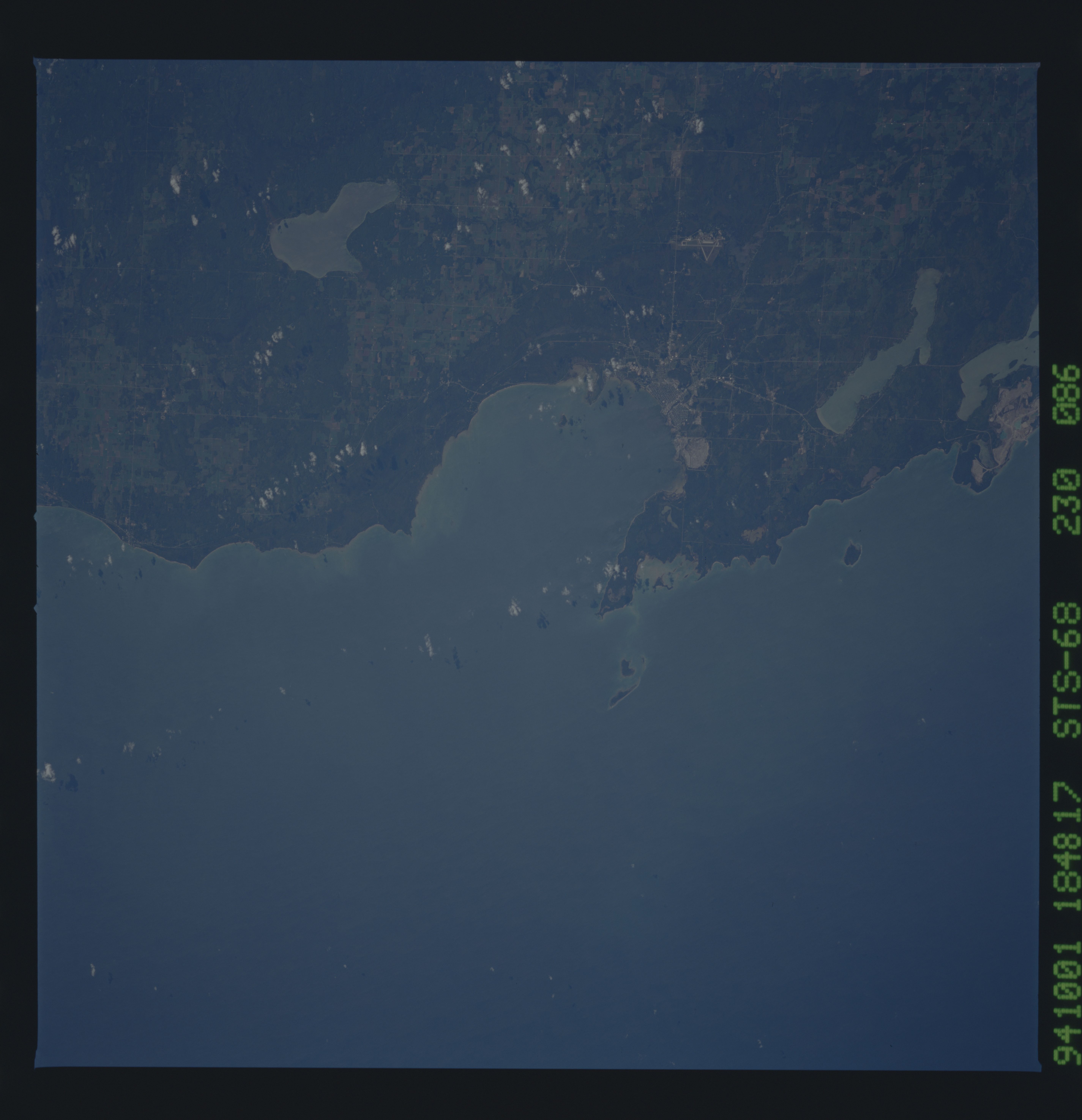
Image Caption: STS068-230-086 Thunder Bay and Alpena, Michigan, U.S.A. October 1994
Thunder Bay, an inlet of Lake Huron, and Alpena, at the mouth of the Thunder River, are apparent in this south-looking, low-oblique photograph. The city, home of an annual winter carnival, lies in a year-round resort area. Three lakes are discernible--Long Lake north of Alpena, a portion of Grand Lake (near bottom center), and Hubbard Lake to the south-southwest (upper right). Manufactured products include cement, paper, machinery, and automobile parts; a large limestone quarry lies east of the city.
Thunder Bay, an inlet of Lake Huron, and Alpena, at the mouth of the Thunder River, are apparent in this south-looking, low-oblique photograph. The city, home of an annual winter carnival, lies in a year-round resort area. Three lakes are discernible--Long Lake north of Alpena, a portion of Grand Lake (near bottom center), and Hubbard Lake to the south-southwest (upper right). Manufactured products include cement, paper, machinery, and automobile parts; a large limestone quarry lies east of the city.
