STS068-229-20
| NASA Photo ID | STS068-229-20 |
| Focal Length | 40mm |
| Date taken | 1994.__.__ |
| Time taken | GMT |
Resolutions offered for this image:
3936 x 3840 pixels 639 x 624 pixels 5700 x 5900 pixels 500 x 518 pixels 640 x 480 pixels
3936 x 3840 pixels 639 x 624 pixels 5700 x 5900 pixels 500 x 518 pixels 640 x 480 pixels

Cloud masks available for this image:
Spacecraft nadir point:
Photo center point: 46.5° N, 85.0° W
Photo center point by machine learning:
Photo center point: 46.5° N, 85.0° W
Photo center point by machine learning:
Nadir to Photo Center:
Spacecraft Altitude: nautical miles (0km)
Country or Geographic Name: | USA-MICHIGAN |
Features: | WHITE FISH BAY, UPPER PEN |
| Features Found Using Machine Learning: | |
Cloud Cover Percentage: | 5 (1-10)% |
Sun Elevation Angle: | ° |
Sun Azimuth: | ° |
Camera: | Hasselblad |
Focal Length: | 40mm |
Camera Tilt: | Low Oblique |
Format: | 5046: Kodak, natural color positive, Lumiere 100/5046, ASA 100, standard base |
Film Exposure: | Normal |
| Additional Information | |
| Width | Height | Annotated | Cropped | Purpose | Links |
|---|---|---|---|---|---|
| 3936 pixels | 3840 pixels | No | No | Earth From Space collection | Download Image |
| 639 pixels | 624 pixels | No | No | Earth From Space collection | Download Image |
| 5700 pixels | 5900 pixels | No | No | Download Image | |
| 500 pixels | 518 pixels | No | No | Download Image | |
| 640 pixels | 480 pixels | No | No | Download Image |
Download Packaged File
Download a Google Earth KML for this Image
View photo footprint information
Download a GeoTIFF for this photo
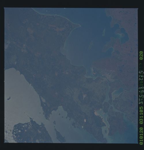
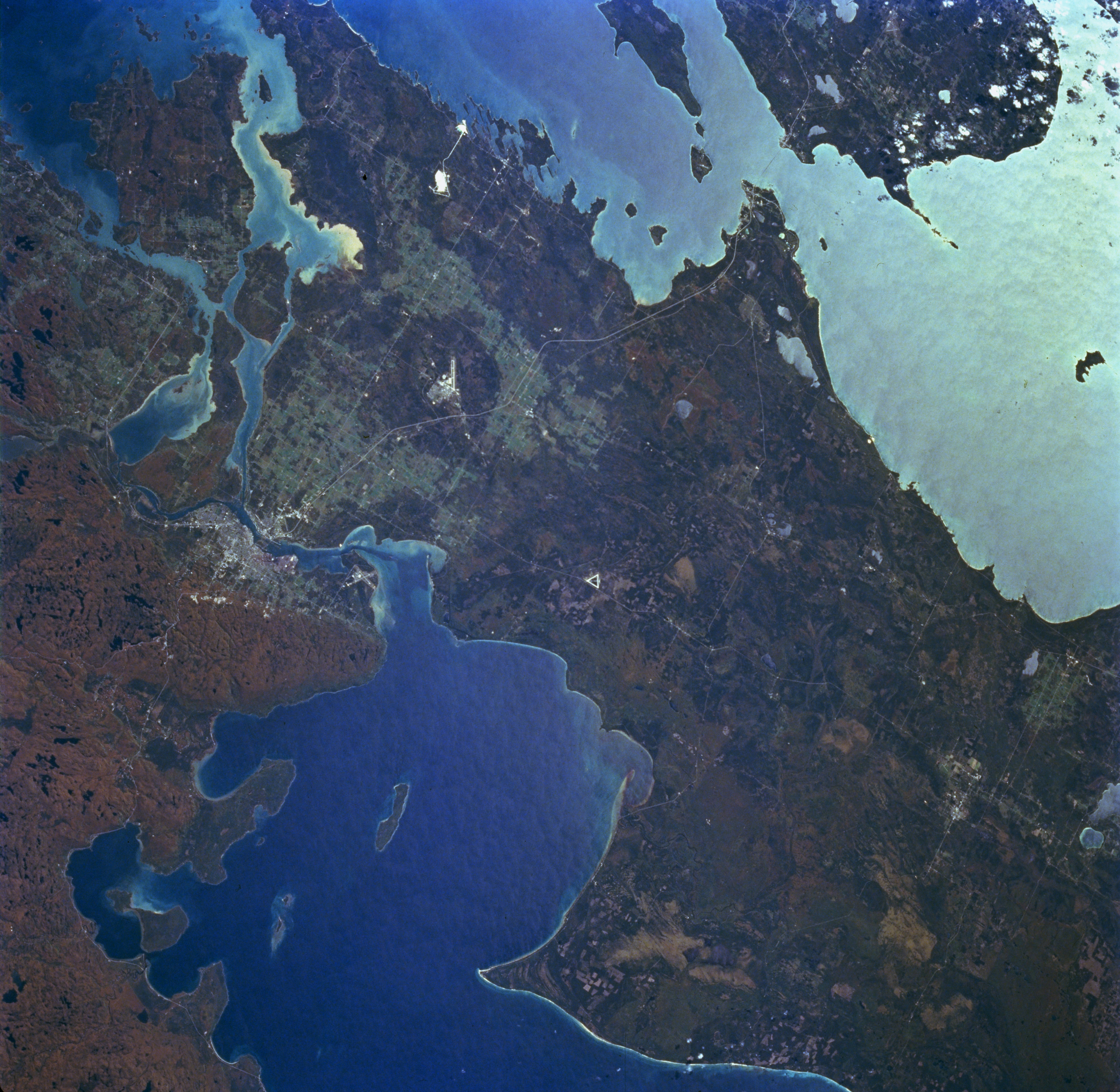
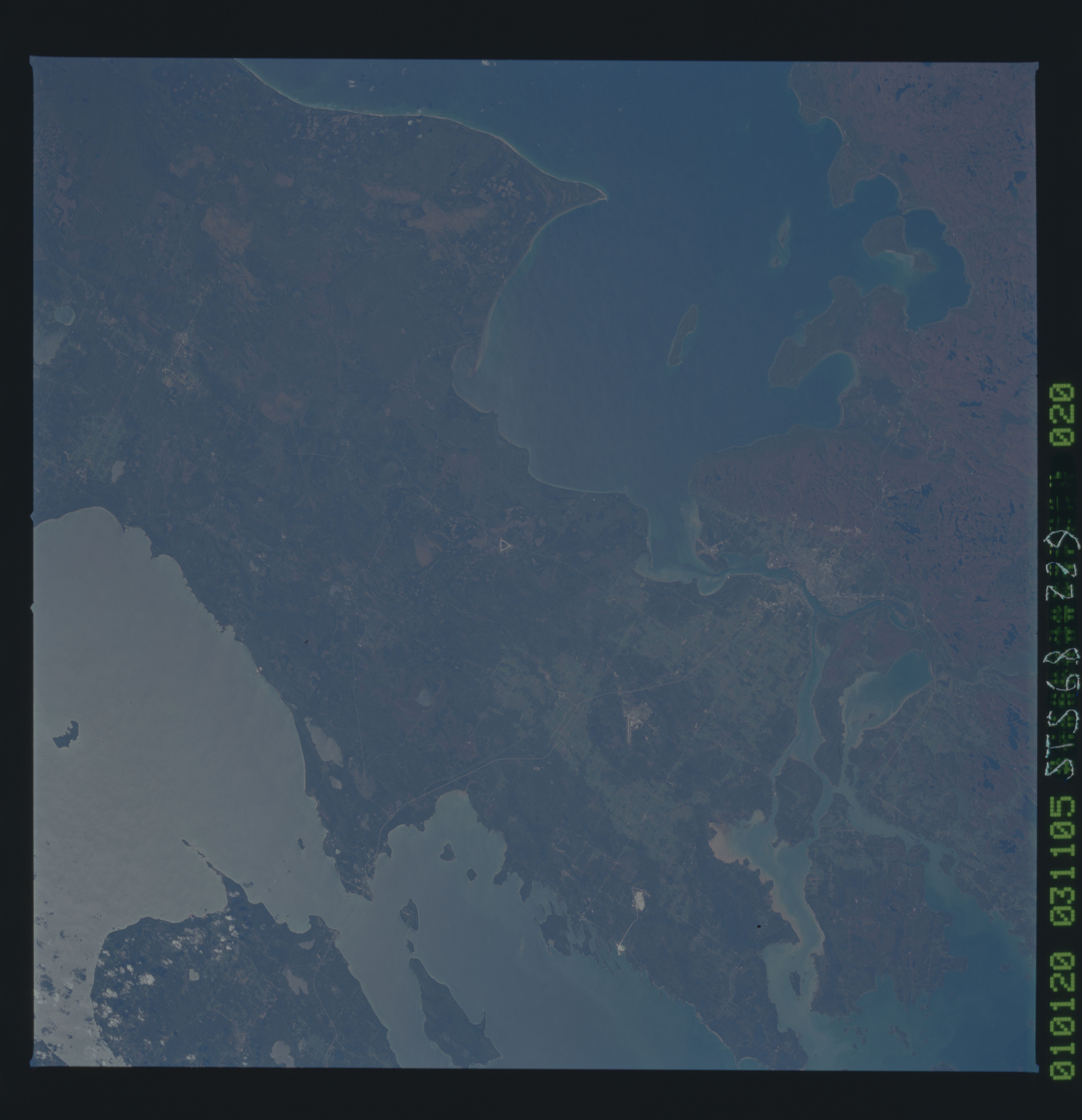
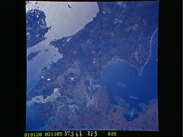
Image Caption: STS068-229-020 Saint Marys River and Sault Sainte Marie, Michigan, U.S.A. and Canada October 1994
Part of the Saint Lawrence Seaway, sediment-laden Saint Marys River, and the Michigan and Canadian cities of Sault Sainte Marie are featured in this south-looking, low-oblique, panoramic photograph. Saint Marys River, 63 miles (101 kilometers) long, drains Whitefish Bay on Lake Superior (bottom left and center), flows past Sault Sainte Marie where it descends 20 feet (6 meters), passes Sugar Lake and Neebish Island west of Saint Joseph Island (upper left), and drains into northern Lake Huron through the De Tour Passage (not visible). Saint Marys River, part of the Canada-U.S. border and frozen for approximately 5 months of each year, is one of the world's busiest waterways with locks located near Sault Sainte Marie. The Straits of Mackinac and northern Lake Michigan are visible in sunglint (upper right).
Part of the Saint Lawrence Seaway, sediment-laden Saint Marys River, and the Michigan and Canadian cities of Sault Sainte Marie are featured in this south-looking, low-oblique, panoramic photograph. Saint Marys River, 63 miles (101 kilometers) long, drains Whitefish Bay on Lake Superior (bottom left and center), flows past Sault Sainte Marie where it descends 20 feet (6 meters), passes Sugar Lake and Neebish Island west of Saint Joseph Island (upper left), and drains into northern Lake Huron through the De Tour Passage (not visible). Saint Marys River, part of the Canada-U.S. border and frozen for approximately 5 months of each year, is one of the world's busiest waterways with locks located near Sault Sainte Marie. The Straits of Mackinac and northern Lake Michigan are visible in sunglint (upper right).
