STS068-227-2

| NASA Photo ID | STS068-227-2 |
| Focal Length | 250mm |
| Date taken | 1994.10.01 |
| Time taken | 20:11:34 GMT |
Resolutions offered for this image:
3904 x 3827 pixels 639 x 627 pixels 5700 x 5900 pixels 500 x 518 pixels 640 x 480 pixels
3904 x 3827 pixels 639 x 627 pixels 5700 x 5900 pixels 500 x 518 pixels 640 x 480 pixels

Cloud masks available for this image:
Spacecraft nadir point: 56.3° N, 137.5° W
Photo center point: 59.5° N, 139.0° W
Photo center point by machine learning:
Photo center point: 59.5° N, 139.0° W
Photo center point by machine learning:
Nadir to Photo Center: North
Spacecraft Altitude: 117 nautical miles (217km)
Country or Geographic Name: | USA-ALASKA |
Features: | ST. ELIAS MTS, YAKUTAT B. |
| Features Found Using Machine Learning: | |
Cloud Cover Percentage: | 20 (11-25)% |
Sun Elevation Angle: | 30° |
Sun Azimuth: | 166° |
Camera: | Hasselblad |
Focal Length: | 250mm |
Camera Tilt: | Low Oblique |
Format: | 5046: Kodak, natural color positive, Lumiere 100/5046, ASA 100, standard base |
Film Exposure: | Normal |
| Additional Information | |
| Width | Height | Annotated | Cropped | Purpose | Links |
|---|---|---|---|---|---|
| 3904 pixels | 3827 pixels | No | No | Earth From Space collection | Download Image |
| 639 pixels | 627 pixels | No | No | Earth From Space collection | Download Image |
| 5700 pixels | 5900 pixels | No | No | Download Image | |
| 500 pixels | 518 pixels | No | No | Download Image | |
| 640 pixels | 480 pixels | No | No | Download Image |
Download Packaged File
Download a Google Earth KML for this Image
View photo footprint information
Download a GeoTIFF for this photo
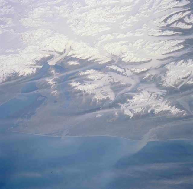
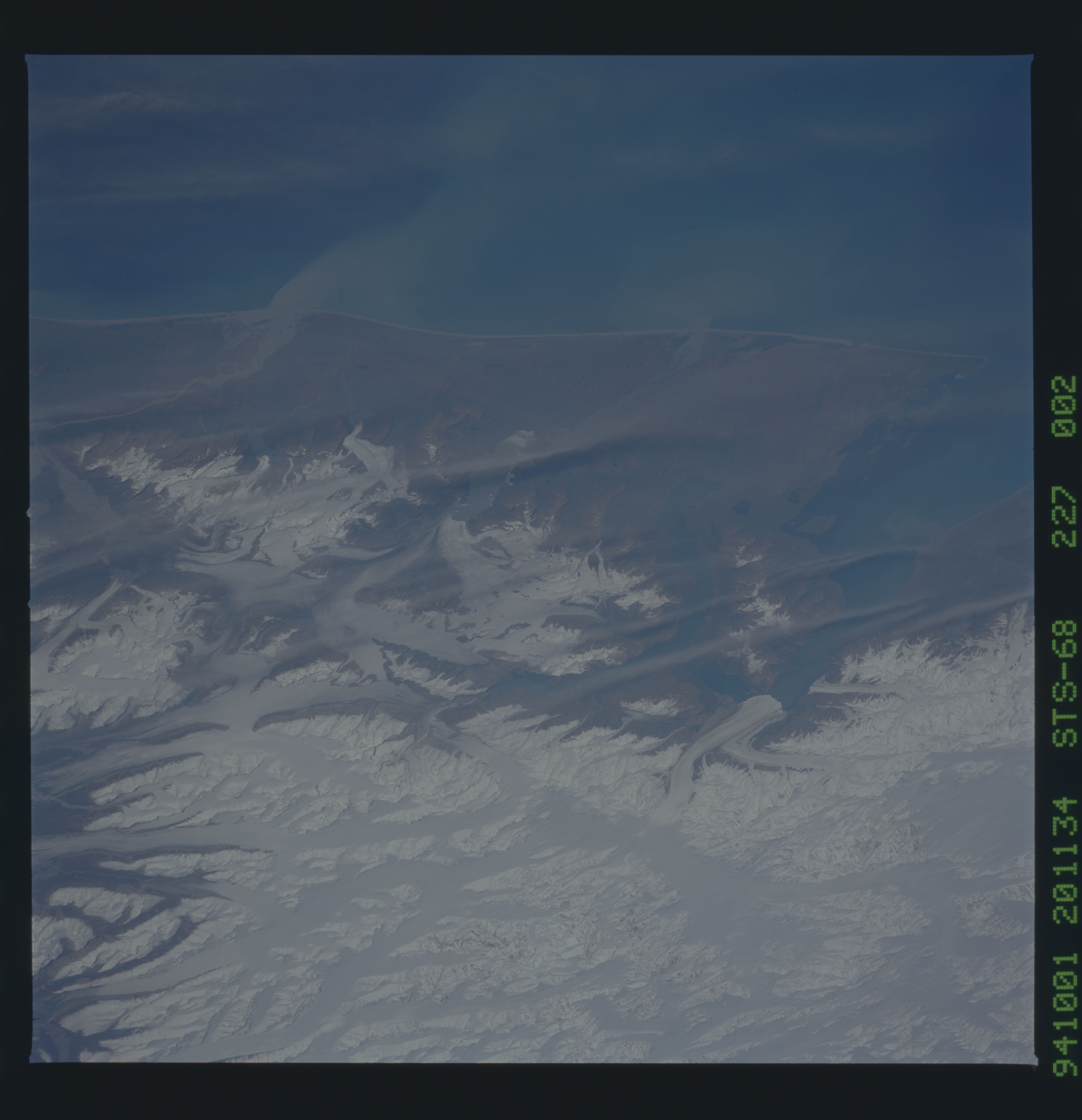
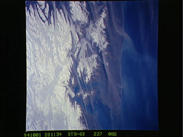
Image Caption: STS068-227-002 Hubbard Glacier, Alaska, U.S.A. October 1994
Several alpine glaciers are apparent immediately southeast of Malaspina Glacier, the most prominent of which is Hubbard Glacier that flows into Yakutat Bay. Barely visible is Russell Fjord that extends southward at the junction of Hubbard Glacier and Yakutat Bay. The Tongass National Forest appears near the bottom of the photograph. The Saint Elias Mountains extend through this part of the Alaskan panhandle.
Several alpine glaciers are apparent immediately southeast of Malaspina Glacier, the most prominent of which is Hubbard Glacier that flows into Yakutat Bay. Barely visible is Russell Fjord that extends southward at the junction of Hubbard Glacier and Yakutat Bay. The Tongass National Forest appears near the bottom of the photograph. The Saint Elias Mountains extend through this part of the Alaskan panhandle.
