STS068-212-44
| NASA Photo ID | STS068-212-44 |
| Focal Length | 250mm |
| Date taken | 1994.10.02 |
| Time taken | 18:31:18 GMT |
Resolutions offered for this image:
3904 x 3904 pixels 639 x 639 pixels 5700 x 5900 pixels 500 x 518 pixels 640 x 480 pixels
3904 x 3904 pixels 639 x 639 pixels 5700 x 5900 pixels 500 x 518 pixels 640 x 480 pixels

Cloud masks available for this image:
Spacecraft nadir point: 42.2° N, 77.8° W
Photo center point: 42.0° N, 80.0° W
Photo center point by machine learning:
Photo center point: 42.0° N, 80.0° W
Photo center point by machine learning:
Nadir to Photo Center: West
Spacecraft Altitude: 118 nautical miles (219km)
Camera: | Hasselblad |
Focal Length: | 250mm |
Camera Tilt: | 48 degrees |
Format: | 5046: Kodak, natural color positive, Lumiere 100/5046, ASA 100, standard base |
Film Exposure: | Normal |
| Additional Information | |
| Width | Height | Annotated | Cropped | Purpose | Links |
|---|---|---|---|---|---|
| 3904 pixels | 3904 pixels | No | No | Earth From Space collection | Download Image |
| 639 pixels | 639 pixels | No | No | Earth From Space collection | Download Image |
| 5700 pixels | 5900 pixels | No | No | Download Image | |
| 500 pixels | 518 pixels | No | No | Download Image | |
| 640 pixels | 480 pixels | No | No | Download Image |
Download Packaged File
Download a Google Earth KML for this Image
View photo footprint information
Download a GeoTIFF for this photo
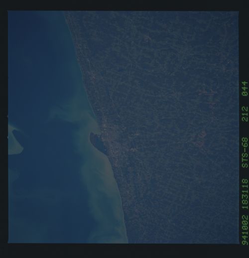
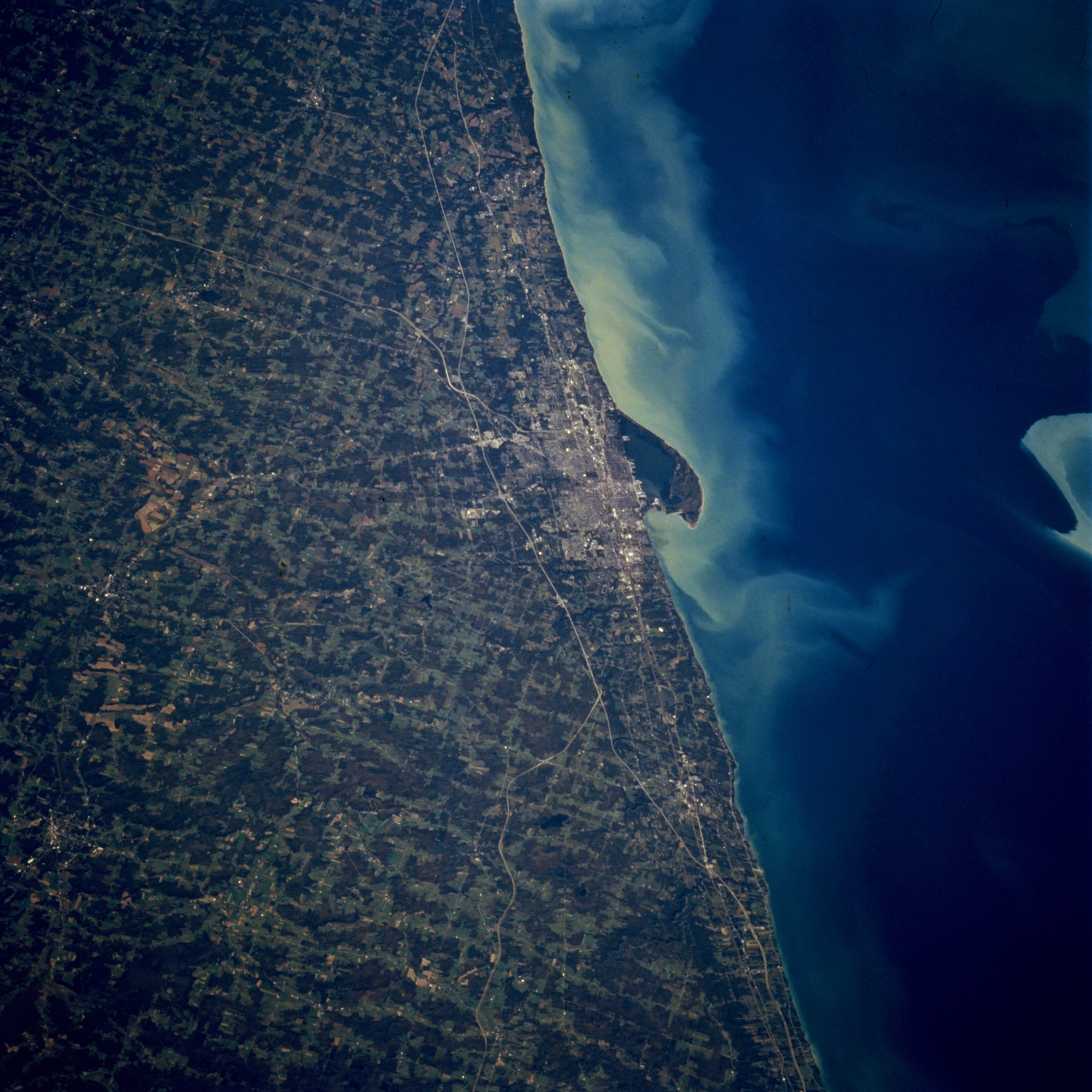
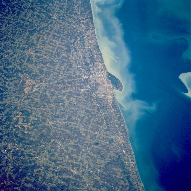
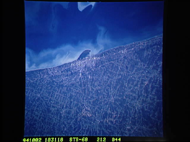
Image Caption: STS068-212-044 Erie Area, Pennsylvania October 1994
The industrial and port city of Erie, located in northwest Pennsylvania along the southern shore of Lake Erie. The port of Erie is one of the finest on the Great Lakes. A spit-like peninsula known as Presque Isle, surrounds Presque Isle Bay. The only entrance to the bay is a narrow channel on the northeast side of the peninsula. An extensive sediment plume is visible along this coasted section of Lake Erie. Agriculture in this region (lighter shades of green) includes the growing of assorted fruits and selected vegetables. The darker looking landscapes are forested lands. Interstate Highway 90 is the northeast-southwest highway (thin, light-colored, linear feature) that roughly parallels the southern shoreline of Lake Erie.
The industrial and port city of Erie, located in northwest Pennsylvania along the southern shore of Lake Erie. The port of Erie is one of the finest on the Great Lakes. A spit-like peninsula known as Presque Isle, surrounds Presque Isle Bay. The only entrance to the bay is a narrow channel on the northeast side of the peninsula. An extensive sediment plume is visible along this coasted section of Lake Erie. Agriculture in this region (lighter shades of green) includes the growing of assorted fruits and selected vegetables. The darker looking landscapes are forested lands. Interstate Highway 90 is the northeast-southwest highway (thin, light-colored, linear feature) that roughly parallels the southern shoreline of Lake Erie.
