STS068-211-80
| NASA Photo ID | STS068-211-80 |
| Focal Length | 250mm |
| Date taken | 1994.10.11 |
| Time taken | 07:57:23 GMT |
Resolutions offered for this image:
4061 x 4061 pixels 639 x 639 pixels 5700 x 5900 pixels 500 x 518 pixels 640 x 480 pixels
4061 x 4061 pixels 639 x 639 pixels 5700 x 5900 pixels 500 x 518 pixels 640 x 480 pixels


Cloud masks available for this image:
Spacecraft nadir point: 44.9° N, 26.5° E
Photo center point:
Photo center point by machine learning:
Photo center point:
Photo center point by machine learning:
Nadir to Photo Center:
Spacecraft Altitude: 110 nautical miles (204km)
Country or Geographic Name: | ROMANIA |
Features: | CARPATHIAN MTS., RIVERS |
| Features Found Using Machine Learning: | |
Cloud Cover Percentage: | 5 (1-10)% |
Sun Elevation Angle: | 31° |
Sun Azimuth: | 143° |
Camera: | Hasselblad |
Focal Length: | 250mm |
Camera Tilt: | Low Oblique |
Format: | 2443: Kodak Aerochrome 2443, color IR, thin base, EA-5 process thru June 1999, E-6 process afterward |
Film Exposure: | Normal |
| Additional Information | |
| Width | Height | Annotated | Cropped | Purpose | Links |
|---|---|---|---|---|---|
| 4061 pixels | 4061 pixels | No | No | Earth From Space collection | Download Image |
| 639 pixels | 639 pixels | No | No | Earth From Space collection | Download Image |
| 5700 pixels | 5900 pixels | No | No | Download Image | |
| 500 pixels | 518 pixels | No | No | Download Image | |
| 640 pixels | 480 pixels | No | No | Download Image |
Download Packaged File
Download a Google Earth KML for this Image
View photo footprint information
Download a GeoTIFF for this photo
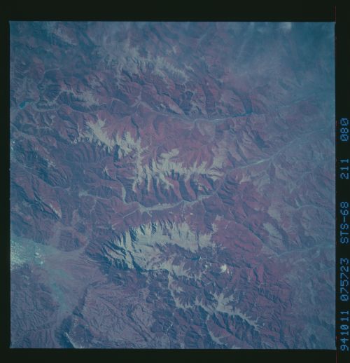
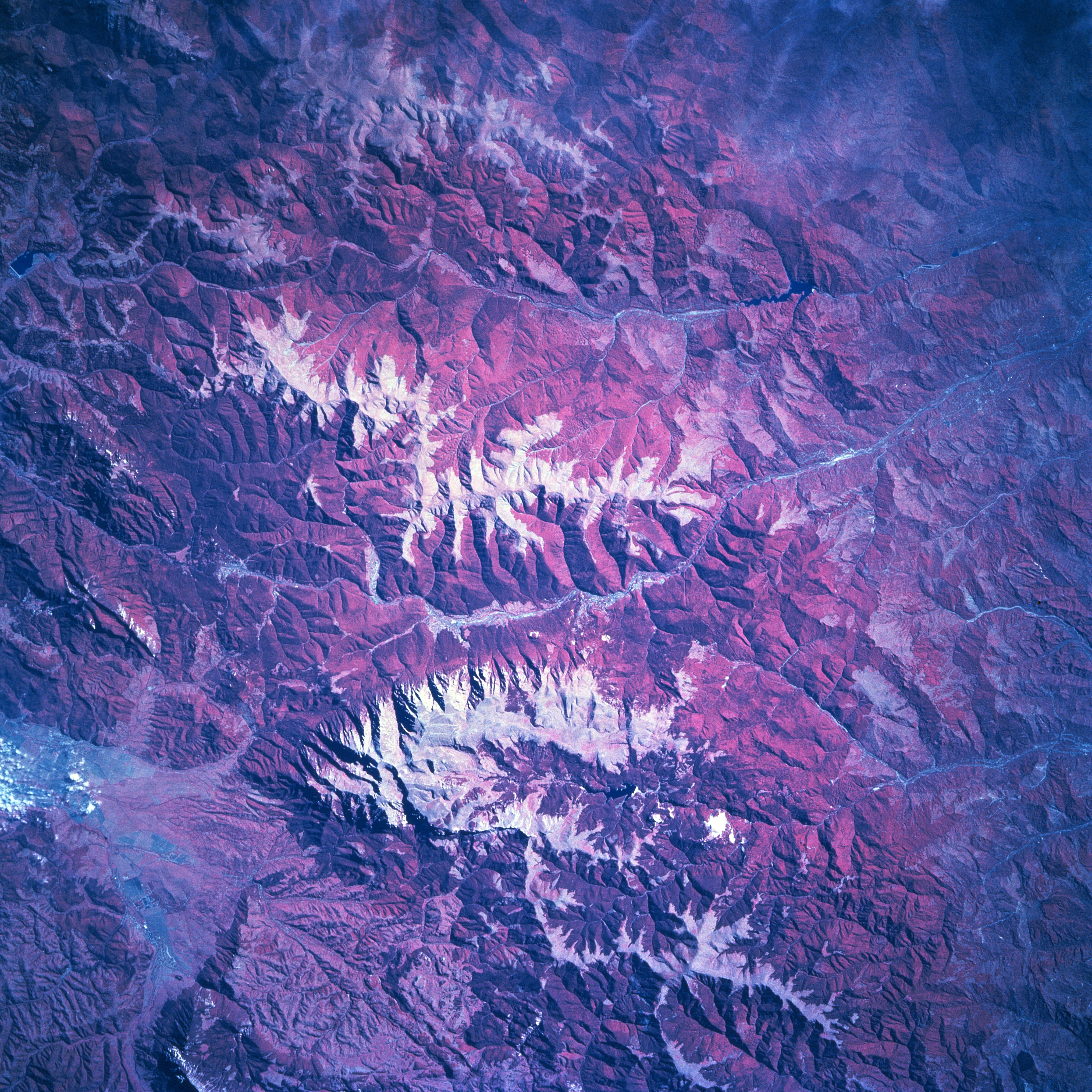
Image Caption: STS068-211-080 Carpathian Mountains, Romania October, 1994
The southern arm of the Carpathian Mountain chain that extends through central Romania is known as the Transylvanian Alps. Snow cover (white areas) on the higher elevations, generally exceeding 5000 feet (1524 meters) above sea level, helps to accentuate the ice-formed peaks and ridgelines of this range of mountains, specifically located between Brasov (north) and Ploiesti (south). Numerous tributary stream valleys have created a rugged topography. Notice that most of the drainage from the Transylvanian Alps is towards the south and southeast. The deeper red colors indicate extensive forested terrain (green vegetation is recorded as shades of red on color infrared photography) on the steep mountain slopes. Lighter reds show areas where forest cover is less dense or the trees have been removed. The gray-looking swath of land (near bottom left corner) is an intermontane valley west of Brasov. Immediately south of the valley the highest peak (8222 feet-2506 meters) in the scene is visible near the north end of the mountain range (bottom center).
The southern arm of the Carpathian Mountain chain that extends through central Romania is known as the Transylvanian Alps. Snow cover (white areas) on the higher elevations, generally exceeding 5000 feet (1524 meters) above sea level, helps to accentuate the ice-formed peaks and ridgelines of this range of mountains, specifically located between Brasov (north) and Ploiesti (south). Numerous tributary stream valleys have created a rugged topography. Notice that most of the drainage from the Transylvanian Alps is towards the south and southeast. The deeper red colors indicate extensive forested terrain (green vegetation is recorded as shades of red on color infrared photography) on the steep mountain slopes. Lighter reds show areas where forest cover is less dense or the trees have been removed. The gray-looking swath of land (near bottom left corner) is an intermontane valley west of Brasov. Immediately south of the valley the highest peak (8222 feet-2506 meters) in the scene is visible near the north end of the mountain range (bottom center).
