STS068-211-103
| NASA Photo ID | STS068-211-103 |
| Focal Length | 250mm |
| Date taken | 1994.10.11 |
| Time taken | 08:04:00 GMT |
Resolutions offered for this image:
4095 x 4095 pixels 794 x 799 pixels 5700 x 5900 pixels 4095 x 4095 pixels 500 x 518 pixels 640 x 480 pixels
4095 x 4095 pixels 794 x 799 pixels 5700 x 5900 pixels 4095 x 4095 pixels 500 x 518 pixels 640 x 480 pixels


Cloud masks available for this image:
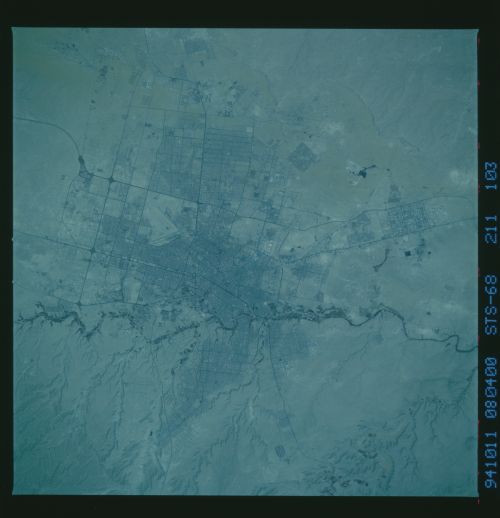
Spacecraft nadir point: 25.1° N, 47.4° E
Photo center point: 24.5° N, 46.5° E
Photo center point by machine learning:
Photo center point: 24.5° N, 46.5° E
Photo center point by machine learning:
Nadir to Photo Center: Southwest
Spacecraft Altitude: 111 nautical miles (206km)
Camera: | Hasselblad |
Focal Length: | 250mm |
Camera Tilt: | 30 degrees |
Format: | 2443: Kodak Aerochrome 2443, color IR, thin base, EA-5 process thru June 1999, E-6 process afterward |
Film Exposure: | Normal |
| Additional Information | |
| Width | Height | Annotated | Cropped | Purpose | Links |
|---|---|---|---|---|---|
| 4095 pixels | 4095 pixels | Cities collection | Download Image | ||
| 794 pixels | 799 pixels | No | No | Cities collection | Download Image |
| 5700 pixels | 5900 pixels | No | No | Download Image | |
| 4095 pixels | 4095 pixels | No | No | Download Image | |
| 500 pixels | 518 pixels | No | No | Download Image | |
| 640 pixels | 480 pixels | No | No | Download Image |
Download Packaged File
Download a Google Earth KML for this Image
View photo footprint information
Download a GeoTIFF for this photo
Image Caption: none
