STS068-208-96
| NASA Photo ID | STS068-208-96 |
| Focal Length | 250mm |
| Date taken | 1994.__.__ |
| Time taken | GMT |
Resolutions offered for this image:
3904 x 3904 pixels 639 x 639 pixels 5700 x 5900 pixels 500 x 518 pixels 640 x 480 pixels
3904 x 3904 pixels 639 x 639 pixels 5700 x 5900 pixels 500 x 518 pixels 640 x 480 pixels
Cloud masks available for this image:
Spacecraft nadir point:
Photo center point: 43.5° N, 112.0° W
Photo center point by machine learning:
Photo center point: 43.5° N, 112.0° W
Photo center point by machine learning:
Nadir to Photo Center:
Spacecraft Altitude: nautical miles (0km)
Country or Geographic Name: | USA-IDAHO |
Features: | IDAHO FALLS, AGR., LAVA |
| Features Found Using Machine Learning: | |
Cloud Cover Percentage: | 0 (no clouds present) |
Sun Elevation Angle: | ° |
Sun Azimuth: | ° |
Camera: | Hasselblad |
Focal Length: | 250mm |
Camera Tilt: | High Oblique |
Format: | 2443: Kodak Aerochrome 2443, color IR, thin base, EA-5 process thru June 1999, E-6 process afterward |
Film Exposure: | Normal |
| Additional Information | |
| Width | Height | Annotated | Cropped | Purpose | Links |
|---|---|---|---|---|---|
| 3904 pixels | 3904 pixels | No | No | Earth From Space collection | Download Image |
| 639 pixels | 639 pixels | No | No | Earth From Space collection | Download Image |
| 5700 pixels | 5900 pixels | No | No | Download Image | |
| 500 pixels | 518 pixels | No | No | Download Image | |
| 640 pixels | 480 pixels | No | No | Download Image |
Download Packaged File
Download a Google Earth KML for this Image
View photo footprint information
Download a GeoTIFF for this photo
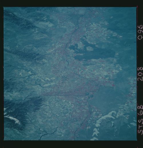
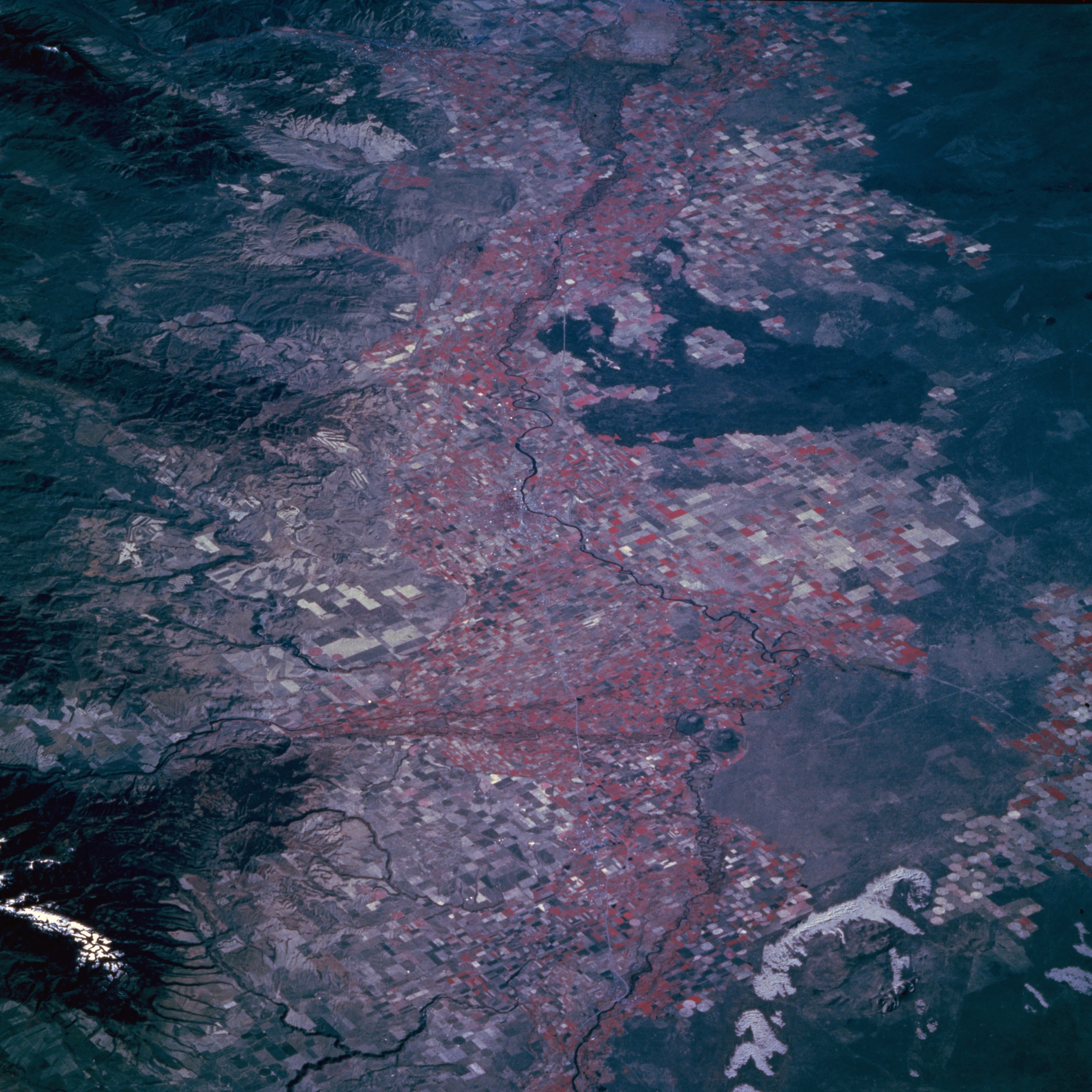
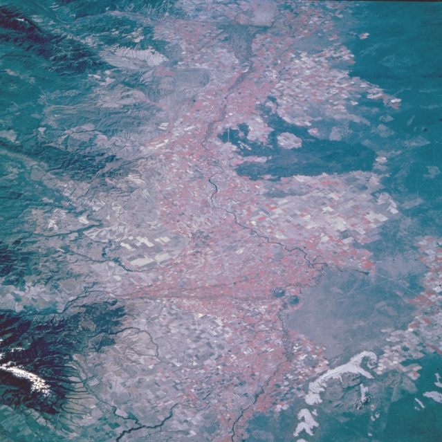
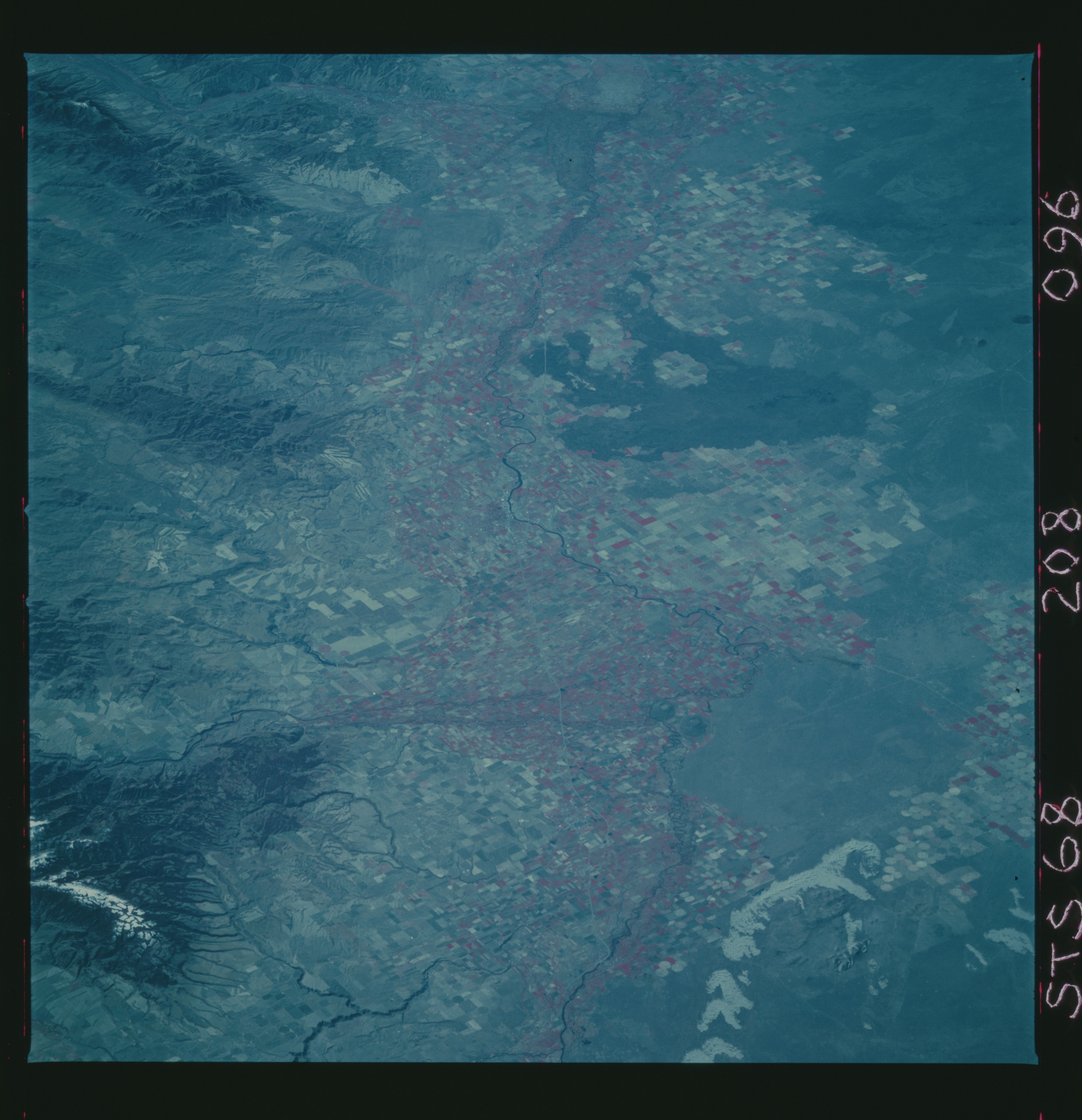
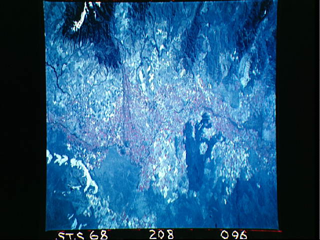
Image Caption: STS068-208-096 Snake River Valley, Idaho, U.S.A October 1994
The intensively cultivated Snake River Valley is bounded by mountains to the southeast and numerous lava flows along the northwest side of this section of the valley. This southwest-looking, low oblique view is a color infrared image that is centered on Idaho Falls. Water from the river provides irrigation for many of the agricultural areas in the Snake River Valley, a vast lava plateau built up by repeated outpourings of volcanic rock approximately 20 million years ago. Subsequent erosion and glaciation have produced a varied landscape of high plains, immense fields of volcanic rubble, deep gorges, and fertile volcanic soil in the Snake River Plain that produces abundant potato crops.
The intensively cultivated Snake River Valley is bounded by mountains to the southeast and numerous lava flows along the northwest side of this section of the valley. This southwest-looking, low oblique view is a color infrared image that is centered on Idaho Falls. Water from the river provides irrigation for many of the agricultural areas in the Snake River Valley, a vast lava plateau built up by repeated outpourings of volcanic rock approximately 20 million years ago. Subsequent erosion and glaciation have produced a varied landscape of high plains, immense fields of volcanic rubble, deep gorges, and fertile volcanic soil in the Snake River Plain that produces abundant potato crops.
