STS068-204-49

| NASA Photo ID | STS068-204-49 |
| Focal Length | 250mm |
| Date taken | 1994.10.09 |
| Time taken | 17:38:25 GMT |
Resolutions offered for this image:
3904 x 3904 pixels 639 x 639 pixels 5700 x 5900 pixels 500 x 518 pixels 640 x 480 pixels 3461 x 3378 pixels
3904 x 3904 pixels 639 x 639 pixels 5700 x 5900 pixels 500 x 518 pixels 640 x 480 pixels 3461 x 3378 pixels

Cloud masks available for this image:
Spacecraft nadir point: 33.8° N, 94.9° W
Photo center point: 34.0° N, 94.5° W
Photo center point by machine learning:
Photo center point: 34.0° N, 94.5° W
Photo center point by machine learning:
Nadir to Photo Center: Northeast
Spacecraft Altitude: 111 nautical miles (206km)
Country or Geographic Name: | USA-ARKANSAS |
Features: | BROKEN BOW LAKE |
| Features Found Using Machine Learning: | |
Cloud Cover Percentage: | 0 (no clouds present) |
Sun Elevation Angle: | 49° |
Sun Azimuth: | 169° |
Camera: | Hasselblad |
Focal Length: | 250mm |
Camera Tilt: | 14 degrees |
Format: | 2443: Kodak Aerochrome 2443, color IR, thin base, EA-5 process thru June 1999, E-6 process afterward |
Film Exposure: | Normal |
| Additional Information | |
| Width | Height | Annotated | Cropped | Purpose | Links |
|---|---|---|---|---|---|
| 3904 pixels | 3904 pixels | No | No | Earth From Space collection | Download Image |
| 639 pixels | 639 pixels | No | No | Earth From Space collection | Download Image |
| 5700 pixels | 5900 pixels | No | No | Download Image | |
| 500 pixels | 518 pixels | No | No | Download Image | |
| 640 pixels | 480 pixels | No | No | Download Image | |
| 3461 pixels | 3378 pixels | Download Image |
Download Packaged File
Download a Google Earth KML for this Image
View photo footprint information
Download a GeoTIFF for this photo
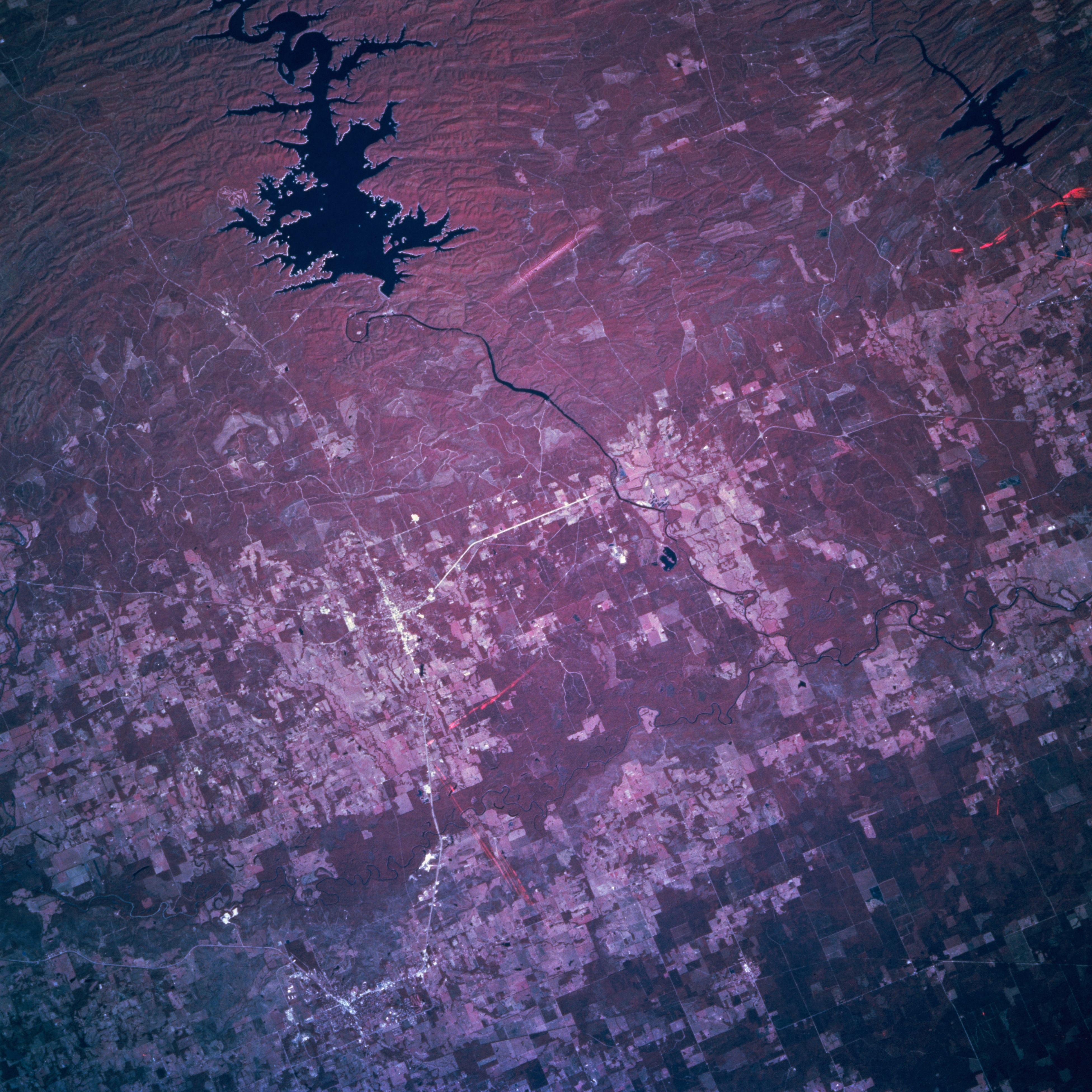
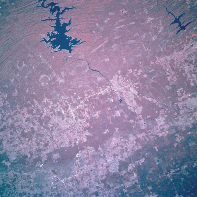
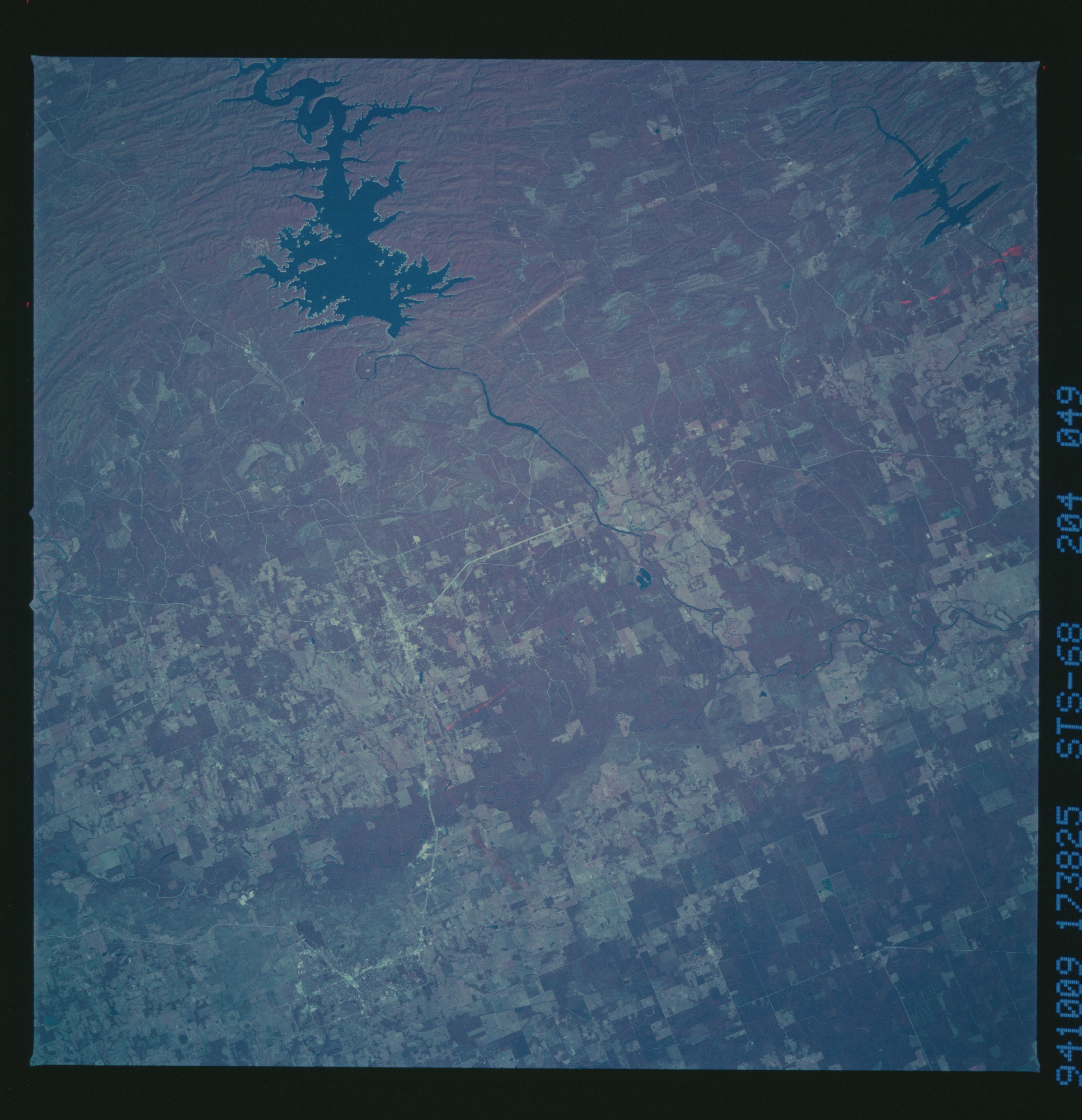
Image Caption: STS068-204-049 Broken Bow Lake and Little River, Oklahoma, U.S.A. October 1994
This infrared, north-northeast-looking, low-oblique photograph features the forest lands around Broken Bow Lake at the southeastern end of the Ouachita Mountains and the mixed forest and agricultural land south of the lake. The Mountain Fork drains Broken Bow Lake and joins the Little River (barely discernible bottom left) that flows generally eastward where it joins the Red River east of Texarkana. Visible south-southwest of the lake is the small city of Idabel, and east of the lake is DeQueen Lake in eastern Arkansas.
This infrared, north-northeast-looking, low-oblique photograph features the forest lands around Broken Bow Lake at the southeastern end of the Ouachita Mountains and the mixed forest and agricultural land south of the lake. The Mountain Fork drains Broken Bow Lake and joins the Little River (barely discernible bottom left) that flows generally eastward where it joins the Red River east of Texarkana. Visible south-southwest of the lake is the small city of Idabel, and east of the lake is DeQueen Lake in eastern Arkansas.
