STS068-167-W

| NASA Photo ID | STS068-167-W |
| Focal Length | 250mm |
| Date taken | 1994.10.09 |
| Time taken | 17:38:32 GMT |
Cloud masks available for this image:
Spacecraft nadir point: 33.6° N, 94.7° W
Photo center point: 35.0° N, 93.0° W
Photo center point by machine learning:
Photo center point: 35.0° N, 93.0° W
Photo center point by machine learning:
Nadir to Photo Center: Northeast
Spacecraft Altitude: 111 nautical miles (206km)
Country or Geographic Name: | USA-ARKANSAS |
Features: | LAKE OUACHITA, ARKANSAS RIVER |
| Features Found Using Machine Learning: | |
Cloud Cover Percentage: | 0 (no clouds present) |
Sun Elevation Angle: | 50° |
Sun Azimuth: | 169° |
Camera: | Linhof |
Focal Length: | 250mm |
Camera Tilt: | 50 degrees |
Format: | 5048: Kodak, natural color positive, Lumiere 100x/5048, ASA 100x, standard base |
Film Exposure: | Normal |
| Additional Information | |
| Width | Height | Annotated | Cropped | Purpose | Links |
|---|---|---|---|---|---|
| 5152 pixels | 4096 pixels | No | No | Earth From Space collection | Download Image |
| 640 pixels | 508 pixels | No | No | Earth From Space collection | Download Image |
| 640 pixels | 480 pixels | No | No | ISD 1 | Download Image |
Download Packaged File
Download a Google Earth KML for this Image
View photo footprint information
Download a GeoTIFF for this photo
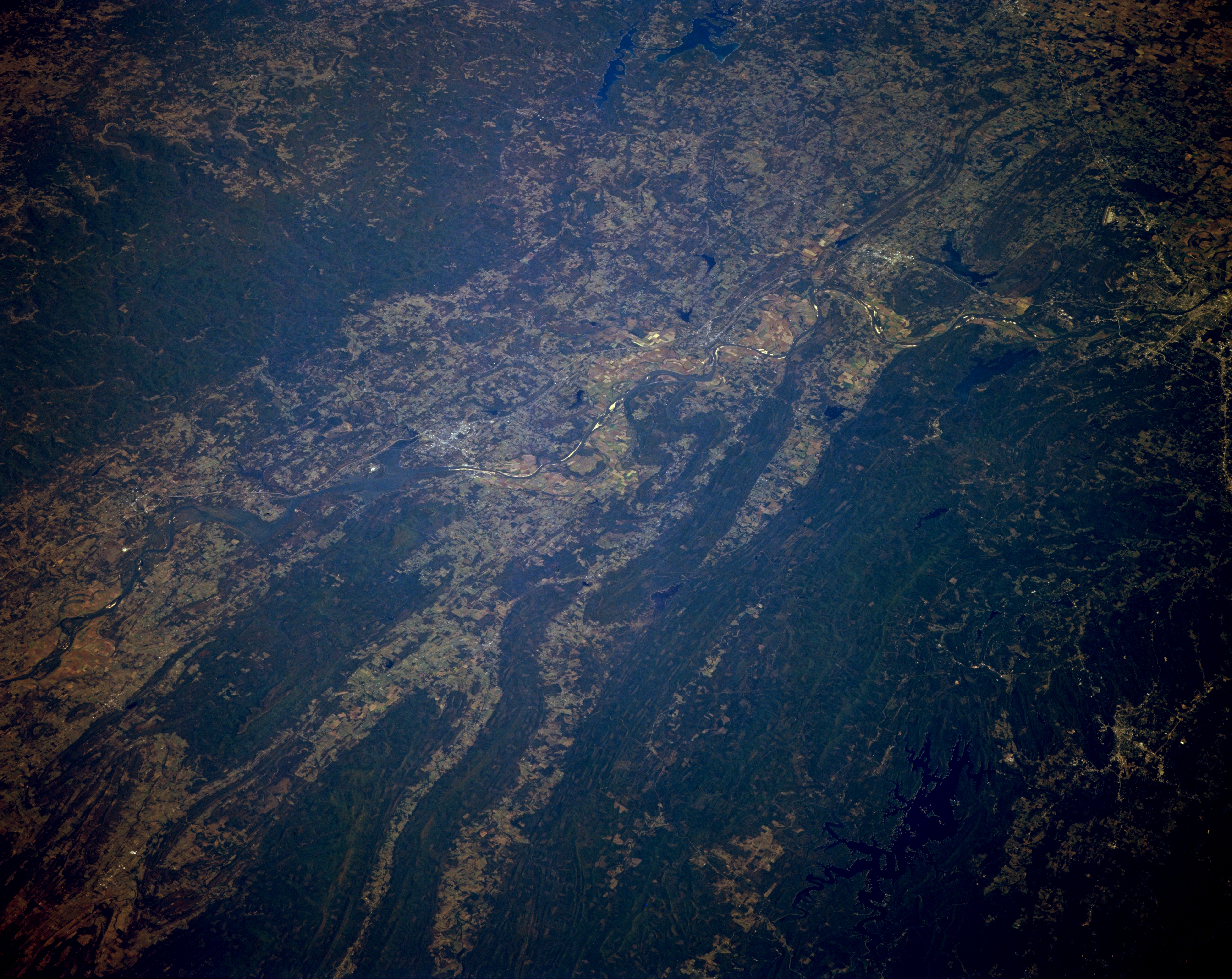
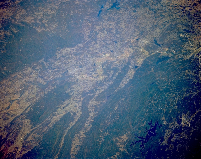
Image Caption: STS068-167-00W Arkansas River Valley, Arkansas, U.S.A. October 1994
A section of the winding, southeast-trending Arkansas River is visible as it flows through Little Rock (middle right edge). This part of the river valley is bordered on the north by the Boston Mountains and on the south by the eastern end of the folded Ouachita Mountains. Individual east-west oriented mountain ridges and valleys are easily discernible north of the Ouachita Mountains. Several dark reservoirs are apparent--Lake Maumelle and Lake Conway, two of the larger reservoirs north of Little Rock, and dark, crablike Lake Ouachita (lower right corner) southwest of Little Rock. Southeast of Lake Ouachita is Hot Springs, a resort area. Cultivated field patterns are observed in the valleys.
A section of the winding, southeast-trending Arkansas River is visible as it flows through Little Rock (middle right edge). This part of the river valley is bordered on the north by the Boston Mountains and on the south by the eastern end of the folded Ouachita Mountains. Individual east-west oriented mountain ridges and valleys are easily discernible north of the Ouachita Mountains. Several dark reservoirs are apparent--Lake Maumelle and Lake Conway, two of the larger reservoirs north of Little Rock, and dark, crablike Lake Ouachita (lower right corner) southwest of Little Rock. Southeast of Lake Ouachita is Hot Springs, a resort area. Cultivated field patterns are observed in the valleys.
