STS068-167-D
| NASA Photo ID | STS068-167-D |
| Focal Length | 250mm |
| Date taken | 1994.10.09 |
| Time taken | 17:35:40 GMT |
Cloud masks available for this image:
Spacecraft nadir point: 42.0° N, 104.2° W
Photo center point: 43.5° N, 102.5° W
Photo center point by machine learning:
Photo center point: 43.5° N, 102.5° W
Photo center point by machine learning:
Nadir to Photo Center: Northeast
Spacecraft Altitude: 111 nautical miles (206km)
Country or Geographic Name: | USA-SOUTH DAKOTA |
Features: | CHEYENNE RIVER, BAD LANDS |
| Features Found Using Machine Learning: | |
Cloud Cover Percentage: | 0 (no clouds present) |
Sun Elevation Angle: | 39° |
Sun Azimuth: | 158° |
Camera: | Linhof |
Focal Length: | 250mm |
Camera Tilt: | 51 degrees |
Format: | 5048: Kodak, natural color positive, Lumiere 100x/5048, ASA 100x, standard base |
Film Exposure: | Normal |
| Additional Information | |
| Width | Height | Annotated | Cropped | Purpose | Links |
|---|---|---|---|---|---|
| 5120 pixels | 4096 pixels | No | No | Earth From Space collection | Download Image |
| 640 pixels | 512 pixels | No | No | Earth From Space collection | Download Image |
| 640 pixels | 480 pixels | No | No | ISD 1 | Download Image |
Download Packaged File
Download a Google Earth KML for this Image
View photo footprint information
Download a GeoTIFF for this photo
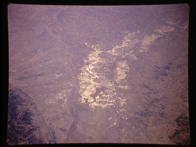
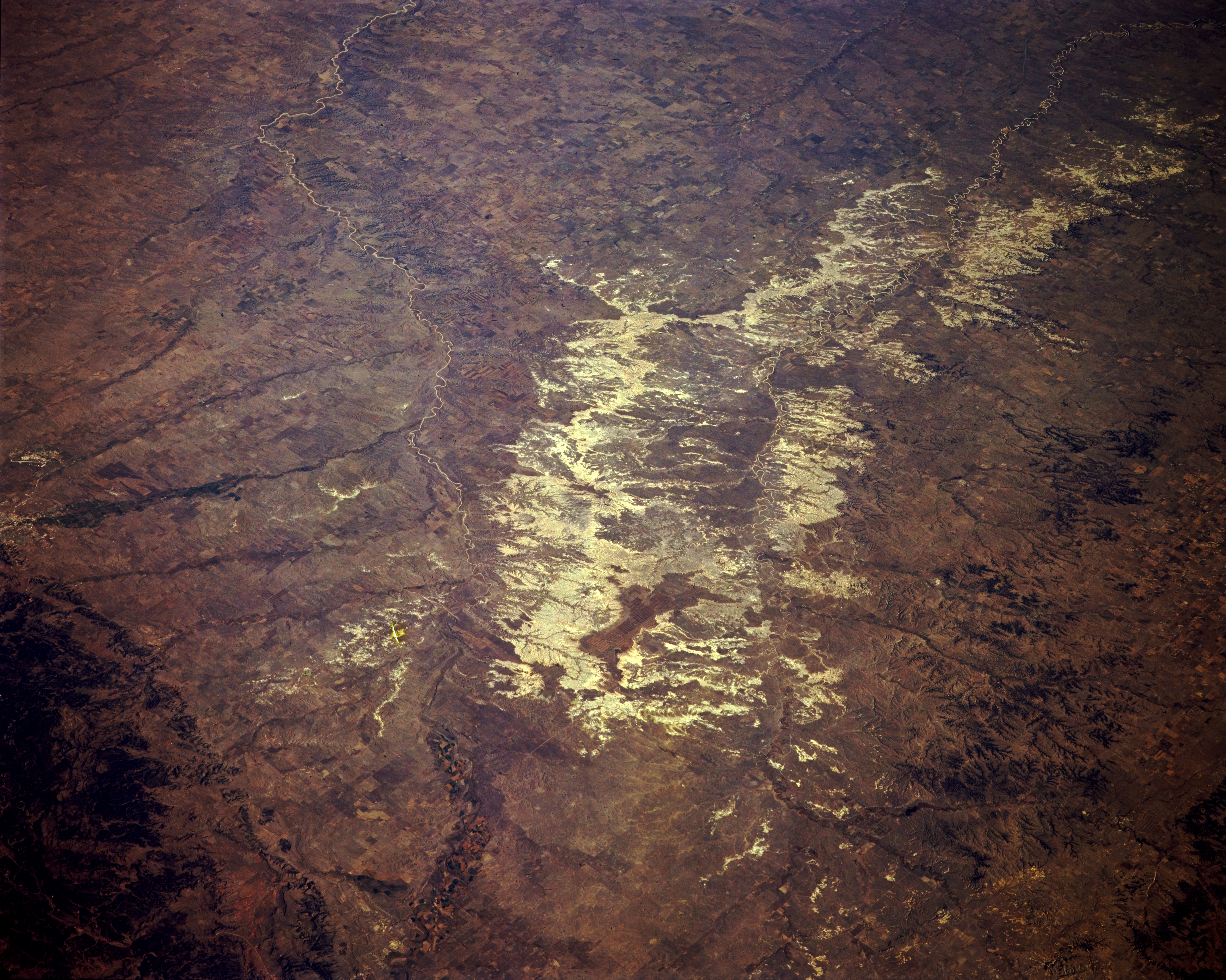
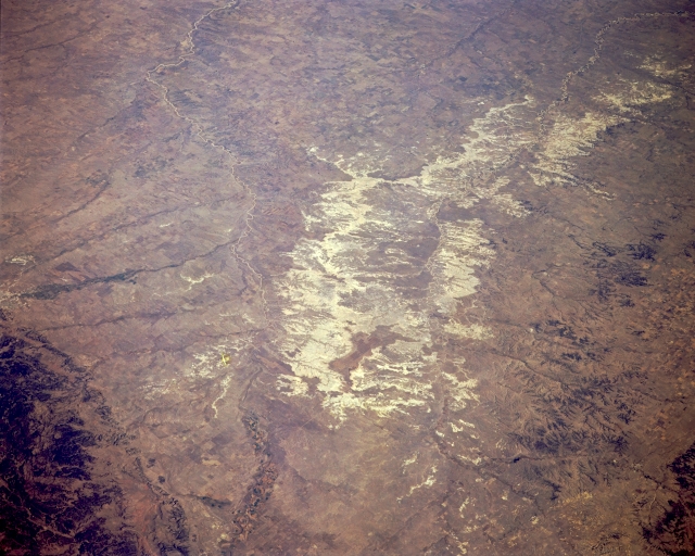
Image Caption: STS068-167-00D The Badlands, South Dakota, U.S.A. October 1994
The badlands of South Dakota, a region of intricately rugged terrain generally consisting of steep slopes, small summits, and closely spaced streams, are featured in this northeast-looking, low-oblique photograph. The region, once an extensive peneplain (a land surface worn almost to a plain), has been dissected into valleys and ridges through stream erosion. The term "badlands" was applied by Indians, trappers, and early explorers of the region because of the difficulties encountered in crossing the barren wastes. The Badlands National Monument, established in 1939, is a 40-mile (64-kilometer) strip of land through which flows the White River. The area covers more than 170 square miles (440 square kilometers) and makes up a small portion of the Pine Ridge Indian Reservation. Visible to the west are the north-flowing Cheyenne River and a small portion of the Black Hills.
The badlands of South Dakota, a region of intricately rugged terrain generally consisting of steep slopes, small summits, and closely spaced streams, are featured in this northeast-looking, low-oblique photograph. The region, once an extensive peneplain (a land surface worn almost to a plain), has been dissected into valleys and ridges through stream erosion. The term "badlands" was applied by Indians, trappers, and early explorers of the region because of the difficulties encountered in crossing the barren wastes. The Badlands National Monument, established in 1939, is a 40-mile (64-kilometer) strip of land through which flows the White River. The area covers more than 170 square miles (440 square kilometers) and makes up a small portion of the Pine Ridge Indian Reservation. Visible to the west are the north-flowing Cheyenne River and a small portion of the Black Hills.
