STS068-162-123
| NASA Photo ID | STS068-162-123 |
| Focal Length | 90mm |
| Date taken | 1994.10.04 |
| Time taken | 06:05:09 GMT |

Cloud masks available for this image:
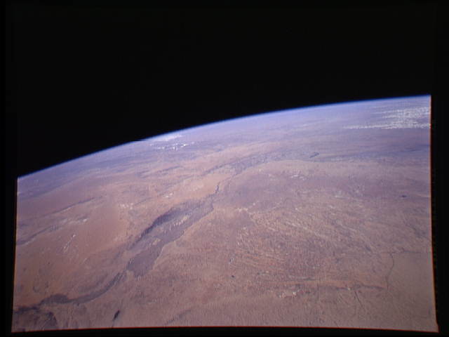
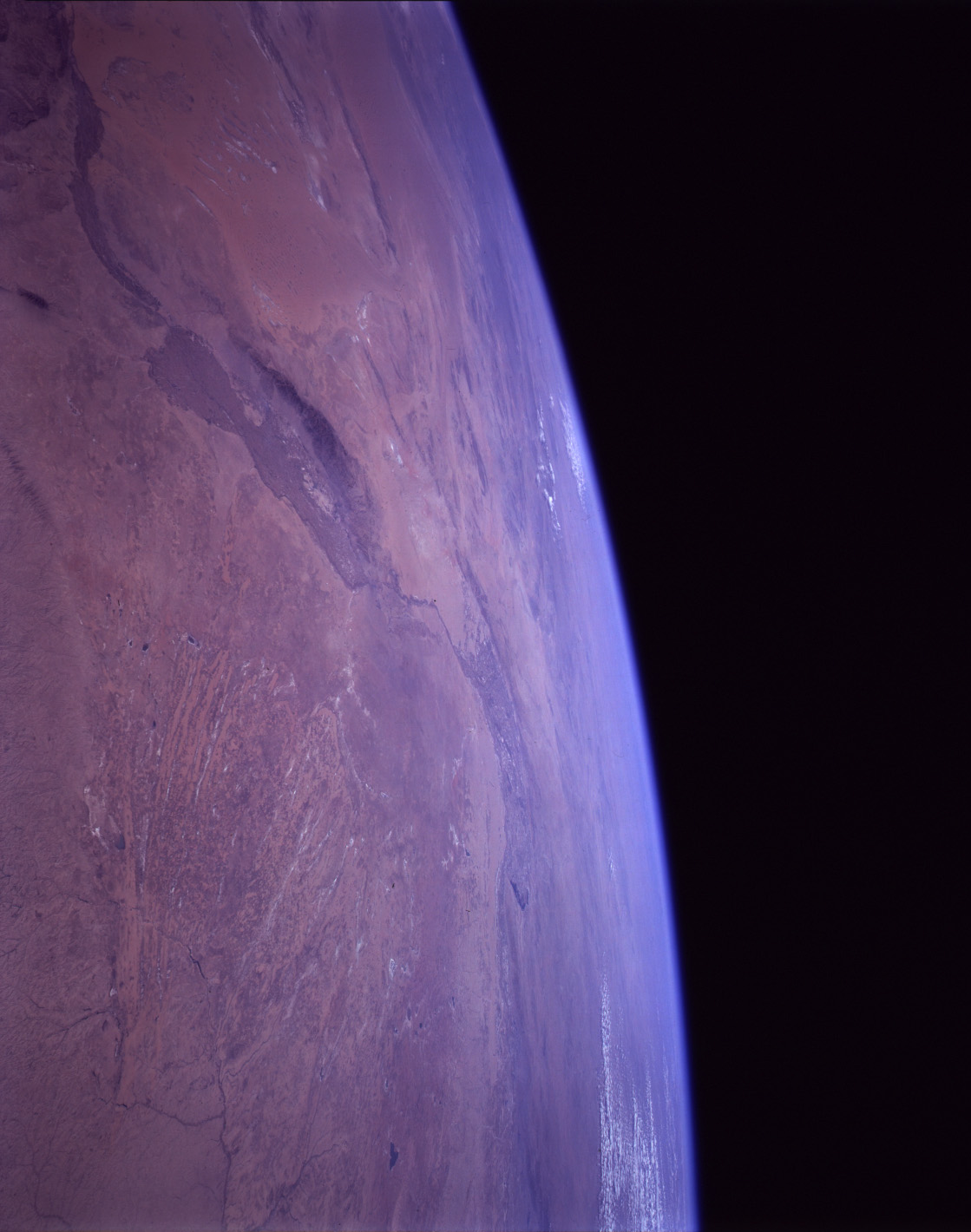
Spacecraft nadir point: 35.3° N, 108.7° E
Photo center point: 40.0° N, 107.0° E
Photo center point by machine learning:
Photo center point: 40.0° N, 107.0° E
Photo center point by machine learning:
Nadir to Photo Center: North
Spacecraft Altitude: 118 nautical miles (219km)
Country or Geographic Name: | CHINA |
Features: | PAN-GOBI DESERT, YELLOW R |
| Features Found Using Machine Learning: | |
Cloud Cover Percentage: | 5 (1-10)% |
Sun Elevation Angle: | 45° |
Sun Azimuth: | 213° |
Camera: | Linhof |
Focal Length: | 90mm |
Camera Tilt: | High Oblique |
Format: | 5046: Kodak, natural color positive, Lumiere 100/5046, ASA 100, standard base |
Film Exposure: | Normal |
| Additional Information | |
| Width | Height | Annotated | Cropped | Purpose | Links |
|---|---|---|---|---|---|
| 640 pixels | 480 pixels | No | No | ISD 1 | Download Image |
| 1119 pixels | 1420 pixels | Download Image | |||
| 600 pixels | 473 pixels | Download Image |
Download Packaged File
Download a Google Earth KML for this Image
View photo footprint information
Download a GeoTIFF for this photo
Image Caption: none
