STS067-721A-31

| NASA Photo ID | STS067-721A-31 |
| Focal Length | 100mm |
| Date taken | 1995.03.14 |
| Time taken | 06:17:21 GMT |
Cloud masks available for this image:
Spacecraft nadir point: 12.3° N, 120.2° E
Photo center point: 15.0° N, 120.5° E
Photo center point by machine learning:
Photo center point: 15.0° N, 120.5° E
Photo center point by machine learning:
Nadir to Photo Center: North
Spacecraft Altitude: 183 nautical miles (339km)
Country or Geographic Name: | PHILIPPINES |
Features: | PINATUBO VOLCANO |
| Features Found Using Machine Learning: | |
Cloud Cover Percentage: | 5 (1-10)% |
Sun Elevation Angle: | 55° |
Sun Azimuth: | 247° |
Camera: | Hasselblad |
Focal Length: | 100mm |
Camera Tilt: | 42 degrees |
Format: | 5046: Kodak, natural color positive, Lumiere 100/5046, ASA 100, standard base |
Film Exposure: | Normal |
| Additional Information | |
| Width | Height | Annotated | Cropped | Purpose | Links |
|---|---|---|---|---|---|
| 5700 pixels | 5900 pixels | No | No | Download Image | |
| 500 pixels | 518 pixels | No | No | Download Image | |
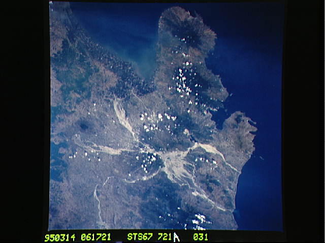
| 640 pixels | 480 pixels | No | No | Download Image |
Download Packaged File
Download a Google Earth KML for this Image
View photo footprint information
Download a GeoTIFF for this photo
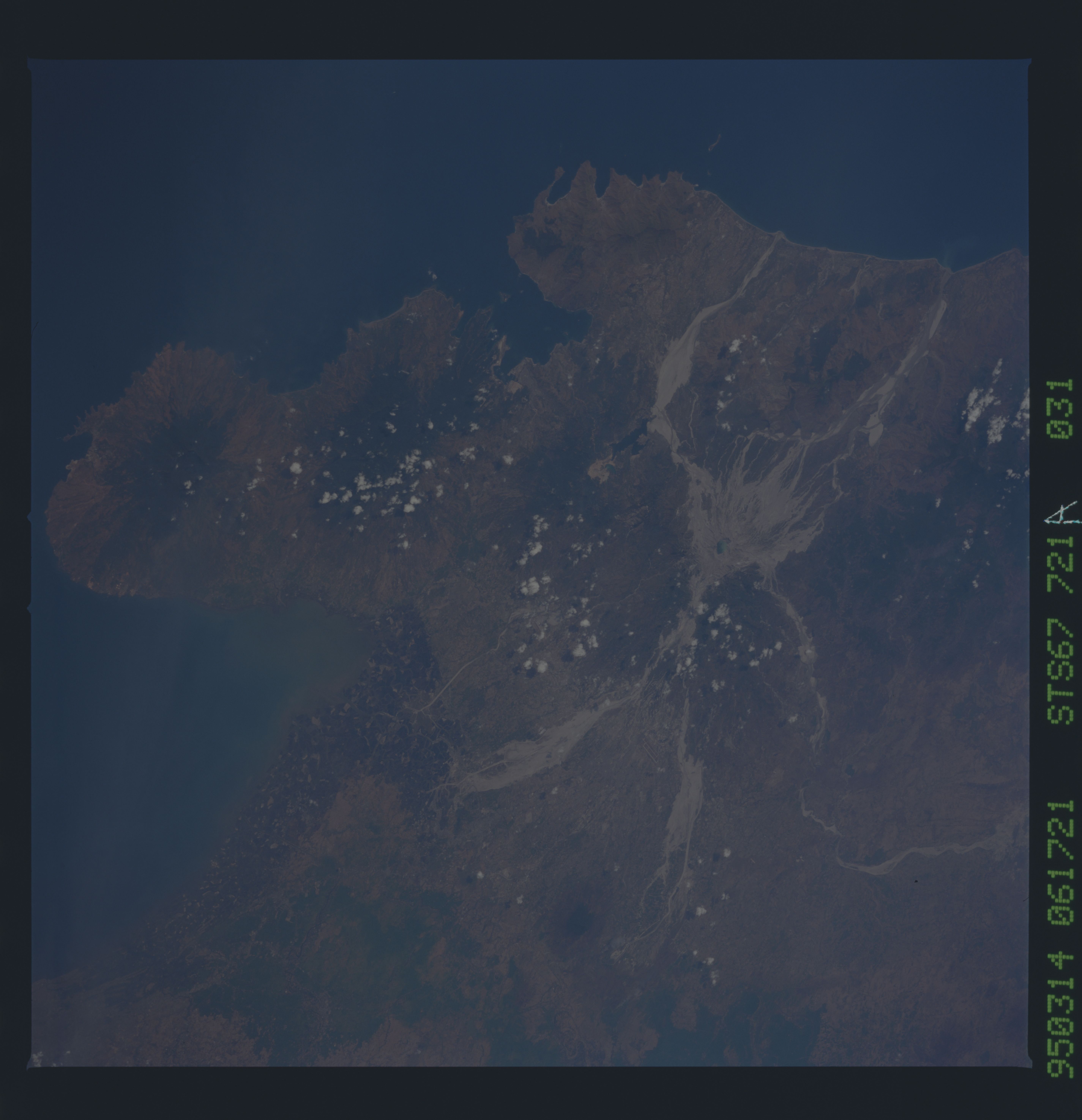
Image Caption: The winter dry season in the Philippines reveals the full extent of
the mudflows (lahars) surrounding Mt. Pinatubo. Light tan parts of the
flows are dried mud deposits, which now have claimed hundreds of
square kilometers of formerly rich farm lands. Darker channels in the
flows (seen especially well in the Bucao River on the northwest side
of the mountain) are stream channels within the mud-filled drainages.
Straight sections of rivers are regions where the mudflows have been
channeled by earthen dikes. Most of last year's damage was along the
eastern drainages. The largest floods were the big mud deposits south
of Clark AFB, where over 50 sq. km were covered in debris, including
some small villages and valuable cropland. This photograph will be
used as a 1995 "baseline" against which the new mudflows occuring
during the summer monsoon season can be measured.
The dry winter season in the Philippines reveals the full extent of the mud flows (lahars) surrounding Mt. Pinatubo. Light tan parts of the flows are dried mud deposits, which now have claimed hundreds of square kilometers of formerly rich farm lands. Darker channels in the flows (seen especially well in the Bucao River on the northwest side of the mountain) are stream channels within the mud-filled drainage's. Straight sections of rivers are regions where the mud flows have been channeled by earthen dikes.
