STS067-712A-66
| NASA Photo ID | STS067-712A-66 |
| Focal Length | 40mm |
| Date taken | 1995.03.11 |
| Time taken | 03:19:29 GMT |
Resolutions offered for this image:
5700 x 5900 pixels 500 x 518 pixels 640 x 480 pixels 1299 x 1279 pixels
5700 x 5900 pixels 500 x 518 pixels 640 x 480 pixels 1299 x 1279 pixels

Cloud masks available for this image:
Spacecraft nadir point: 23.4° S, 114.4° E
Photo center point: 21.5° S, 114.5° E
Photo center point by machine learning:
Photo center point: 21.5° S, 114.5° E
Photo center point by machine learning:
Nadir to Photo Center: North
Spacecraft Altitude: 189 nautical miles (350km)
Country or Geographic Name: | AUSTRALIA-WA |
Features: | NORTH WEST C., EXMOUTH G |
| Features Found Using Machine Learning: | |
Cloud Cover Percentage: | 0 (no clouds present) |
Sun Elevation Angle: | 64° |
Sun Azimuth: | 45° |
Camera: | Hasselblad |
Focal Length: | 40mm |
Camera Tilt: | 31 degrees |
Format: | 5046: Kodak, natural color positive, Lumiere 100/5046, ASA 100, standard base |
Film Exposure: | Over Exposed |
| Additional Information | |
| Width | Height | Annotated | Cropped | Purpose | Links |
|---|---|---|---|---|---|
| 5700 pixels | 5900 pixels | No | No | Download Image | |
| 500 pixels | 518 pixels | No | No | Download Image | |
| 640 pixels | 480 pixels | No | No | Download Image | |
| 1299 pixels | 1279 pixels | No | No | Download Image |
Download Packaged File
Download a Google Earth KML for this Image
View photo footprint information
Download a GeoTIFF for this photo
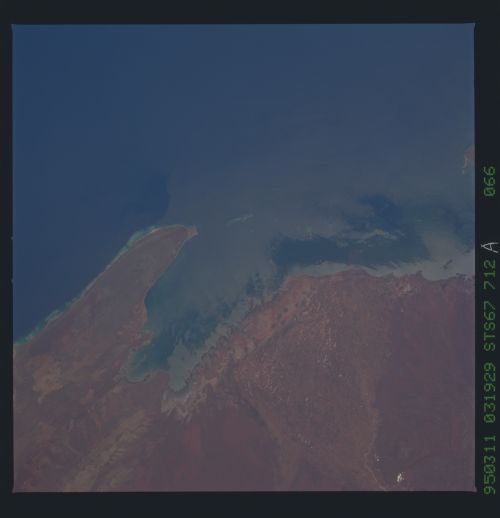
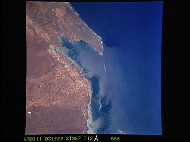
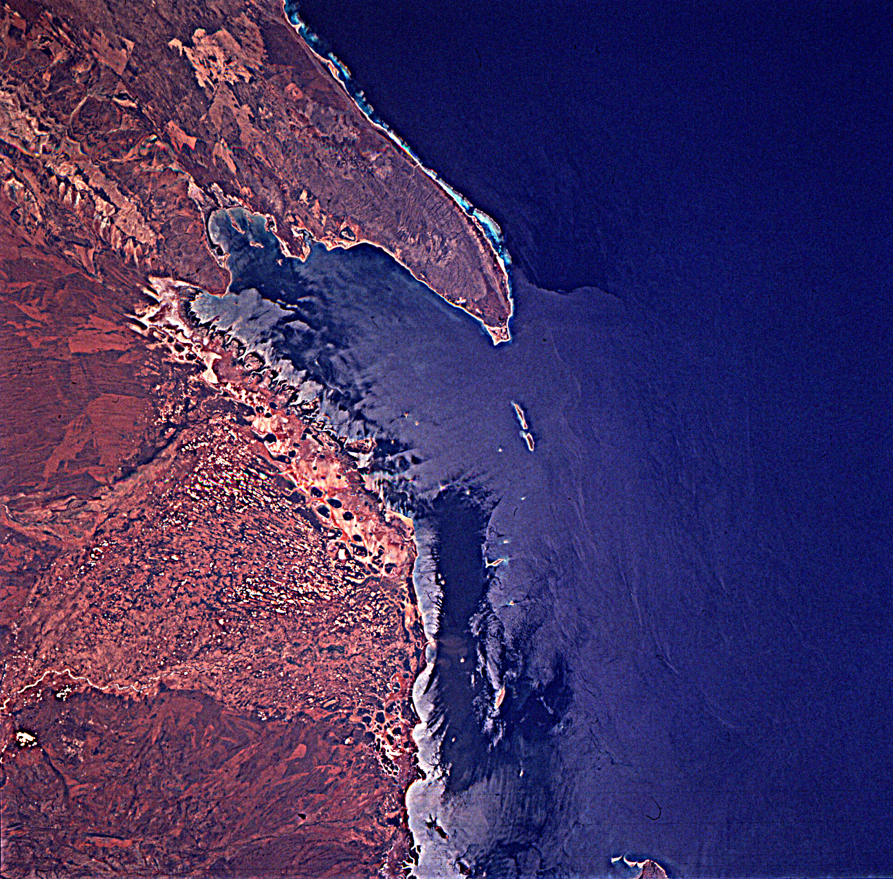
Image Caption: Exmouth Gulf, Western Australia, in sunglint on March
11. Water boundaries are shown beautifully.
11. Water boundaries are shown beautifully.
