STS067-706-1
| NASA Photo ID | STS067-706-1 |
| Focal Length | 250mm |
| Date taken | 1995.03.04 |
| Time taken | 03:52:26 GMT |
Cloud masks available for this image:
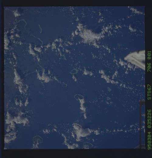
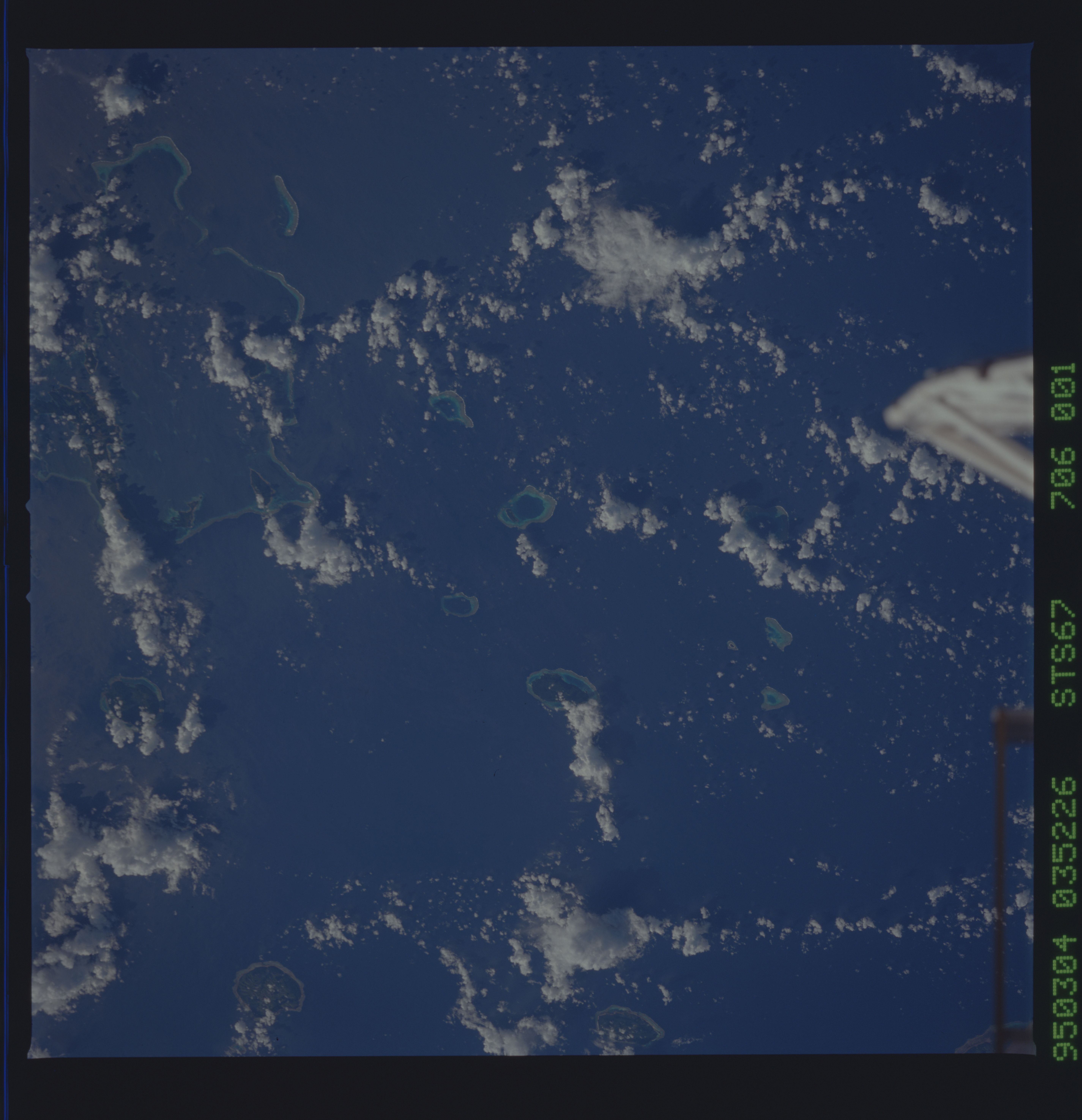
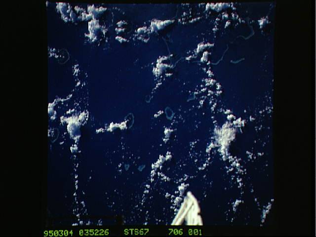
Spacecraft nadir point: 16.6° S, 176.7° W
Photo center point: 17.5° S, 178.5° W
Photo center point by machine learning:
Photo center point: 17.5° S, 178.5° W
Photo center point by machine learning:
Nadir to Photo Center: Southwest
Spacecraft Altitude: 187 nautical miles (346km)
Country or Geographic Name: | FIJI ISLANDS |
Features: | LAU GROUP, TONGAN PASSAGE |
| Features Found Using Machine Learning: | |
Cloud Cover Percentage: | 15 (11-25)% |
Sun Elevation Angle: | 32° |
Sun Azimuth: | 273° |
Camera: | Hasselblad |
Focal Length: | 250mm |
Camera Tilt: | 33 degrees |
Format: | 5046: Kodak, natural color positive, Lumiere 100/5046, ASA 100, standard base |
Film Exposure: | Normal |
| Additional Information | |
| Width | Height | Annotated | Cropped | Purpose | Links |
|---|---|---|---|---|---|
| 5700 pixels | 5900 pixels | No | No | Download Image | |
| 500 pixels | 518 pixels | No | No | Download Image | |
| 640 pixels | 480 pixels | No | No | Download Image |
Download Packaged File
Download a Google Earth KML for this Image
View photo footprint information
Download a GeoTIFF for this photo
Image Caption: Because the sun heats the ground much faster then the
water, the thermal differences between the airmass over the water and
the airmass over the land give rise to clouds and rainfall over the
land while the water remains clear. This phenomena is called the heat
island effect, and is well displayed here in this photograph.
water, the thermal differences between the airmass over the water and
the airmass over the land give rise to clouds and rainfall over the
land while the water remains clear. This phenomena is called the heat
island effect, and is well displayed here in this photograph.
