STS066-97-13
| NASA Photo ID | STS066-97-13 |
| Focal Length | 250mm |
| Date taken | 1994.11.07 |
| Time taken | 16:12:16 GMT |
Resolutions offered for this image:
3870 x 3904 pixels 634 x 639 pixels 5700 x 5900 pixels 500 x 518 pixels 640 x 480 pixels
3870 x 3904 pixels 634 x 639 pixels 5700 x 5900 pixels 500 x 518 pixels 640 x 480 pixels
Cloud masks available for this image:
Spacecraft nadir point: 43.5° N, 72.4° W
Photo center point: 42.0° N, 70.5° W
Photo center point by machine learning:
Photo center point: 42.0° N, 70.5° W
Photo center point by machine learning:
Nadir to Photo Center: Southeast
Spacecraft Altitude: 162 nautical miles (300km)
Country or Geographic Name: | USA-MASSACHUSETTS |
Features: | CAPE COD |
| Features Found Using Machine Learning: | |
Cloud Cover Percentage: | 5 (1-10)% |
Sun Elevation Angle: | 30° |
Sun Azimuth: | 174° |
Camera: | Hasselblad |
Focal Length: | 250mm |
Camera Tilt: | 42 degrees |
Format: | 5046: Kodak, natural color positive, Lumiere 100/5046, ASA 100, standard base |
Film Exposure: | Normal |
| Additional Information | |
| Width | Height | Annotated | Cropped | Purpose | Links |
|---|---|---|---|---|---|
| 3870 pixels | 3904 pixels | No | No | Earth From Space collection | Download Image |
| 634 pixels | 639 pixels | No | No | Earth From Space collection | Download Image |
| 5700 pixels | 5900 pixels | No | No | Download Image | |
| 500 pixels | 518 pixels | No | No | Download Image | |
| 640 pixels | 480 pixels | No | No | Download Image |
Download Packaged File
Download a Google Earth KML for this Image
View photo footprint information
Download a GeoTIFF for this photo
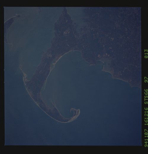
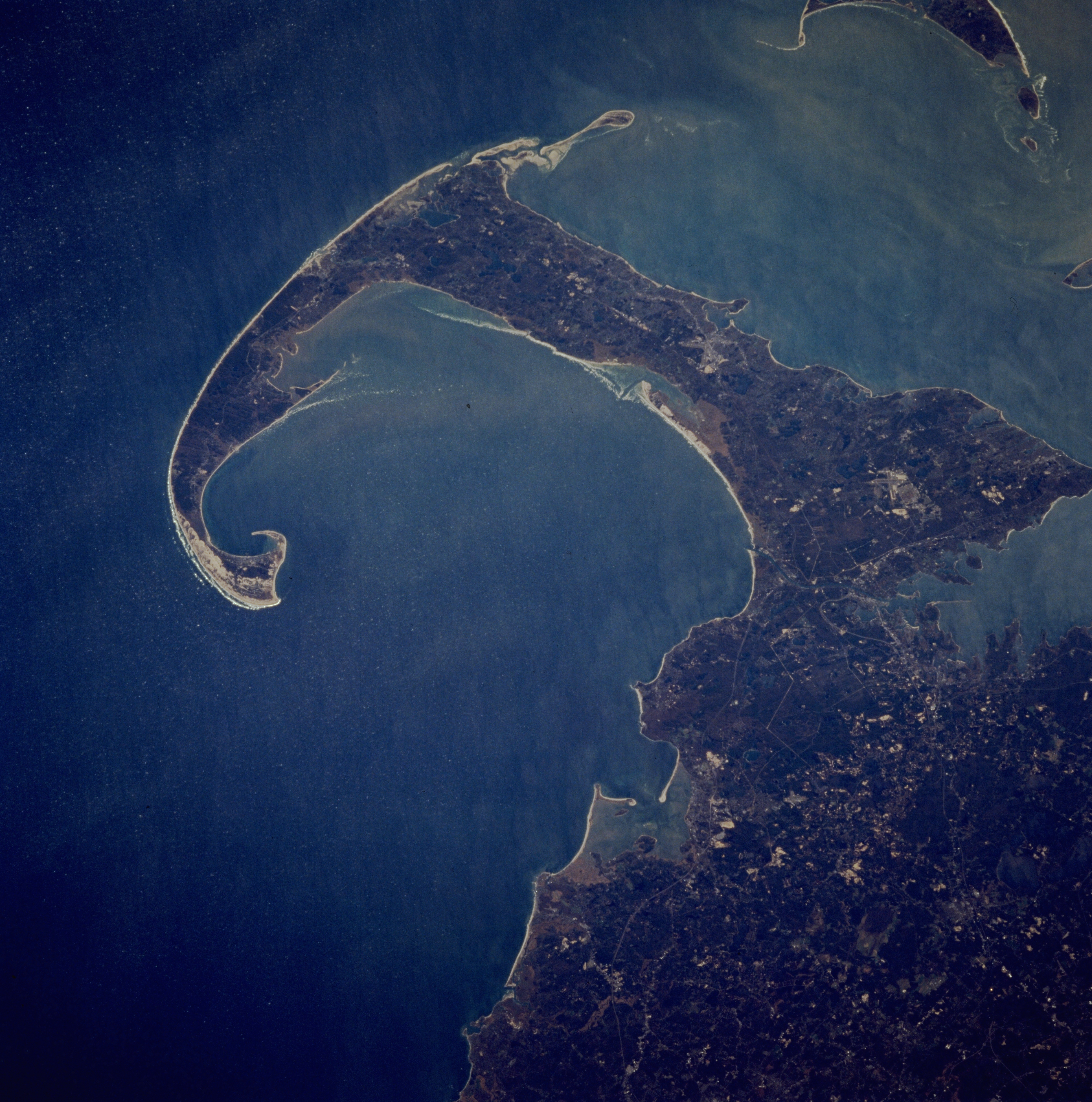
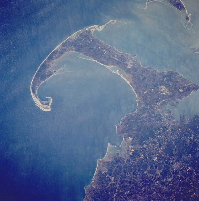
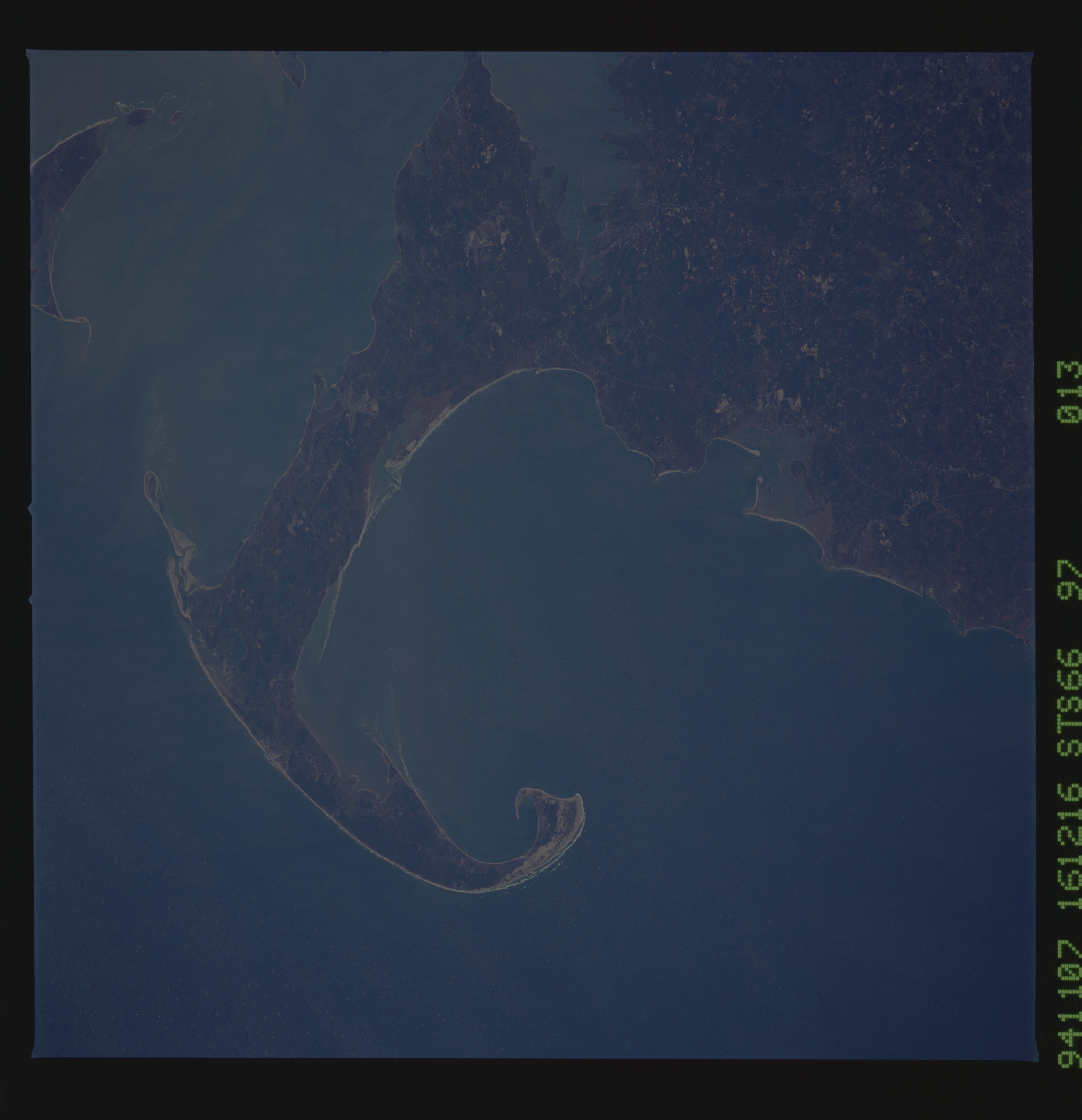
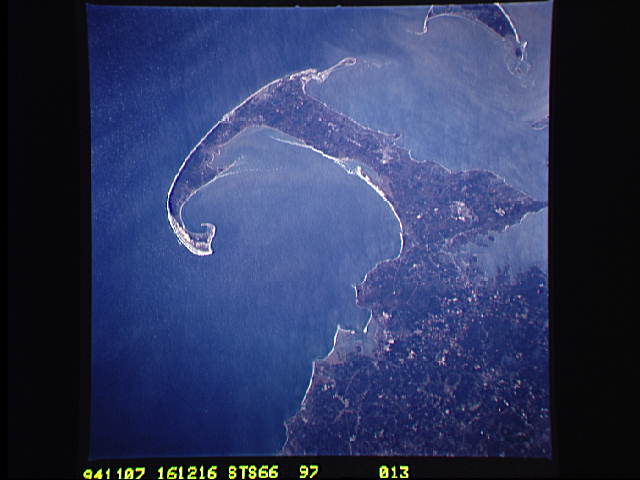
Image Caption: STS066-097-013 Cape Cod, Massachusetts, U.S.A. November 1994
A narrow peninsula of glacial origin, Cape Cod is featured in this southeast-looking, low-oblique photograph. Cape Cod extends 65 miles (105 kilometers) east and north into the Atlantic Ocean and covers 399 square miles (1033 square kilometers). The cape's terrain is generally flat, with sand dunes, low hills, and numerous lakes; its familiar hook shape results from winds and ocean currents on the sand and gravel. Tourism and cranberry growing are the main industries. Discernible are a small portion of Nantucket Island (upper right), Buzzards Bay (center right), and Plymouth Bay (midway between center and bottom center).
A narrow peninsula of glacial origin, Cape Cod is featured in this southeast-looking, low-oblique photograph. Cape Cod extends 65 miles (105 kilometers) east and north into the Atlantic Ocean and covers 399 square miles (1033 square kilometers). The cape's terrain is generally flat, with sand dunes, low hills, and numerous lakes; its familiar hook shape results from winds and ocean currents on the sand and gravel. Tourism and cranberry growing are the main industries. Discernible are a small portion of Nantucket Island (upper right), Buzzards Bay (center right), and Plymouth Bay (midway between center and bottom center).
