STS066-89-19
| NASA Photo ID | STS066-89-19 |
| Focal Length | 100mm |
| Date taken | 1994.11.06 |
| Time taken | 00:37:45 GMT |
Resolutions offered for this image:
3936 x 3904 pixels 639 x 634 pixels 5700 x 5900 pixels 500 x 518 pixels 640 x 480 pixels
3936 x 3904 pixels 639 x 634 pixels 5700 x 5900 pixels 500 x 518 pixels 640 x 480 pixels


Cloud masks available for this image:
Spacecraft nadir point: 26.5° S, 113.9° E
Photo center point: 28.0° S, 115.5° E
Photo center point by machine learning:
Photo center point: 28.0° S, 115.5° E
Photo center point by machine learning:
Nadir to Photo Center: Southeast
Spacecraft Altitude: 161 nautical miles (298km)
Country or Geographic Name: | AUSTRALIA-WA |
Features: | DRY RIVERS, LAKES, AGRICULTURE |
| Features Found Using Machine Learning: | |
Cloud Cover Percentage: | 5 (1-10)% |
Sun Elevation Angle: | 40° |
Sun Azimuth: | 89° |
Camera: | Hasselblad |
Focal Length: | 100mm |
Camera Tilt: | 39 degrees |
Format: | 5046: Kodak, natural color positive, Lumiere 100/5046, ASA 100, standard base |
Film Exposure: | Normal |
| Additional Information | |
| Width | Height | Annotated | Cropped | Purpose | Links |
|---|---|---|---|---|---|
| 3936 pixels | 3904 pixels | No | No | Earth From Space collection | Download Image |
| 639 pixels | 634 pixels | No | No | Earth From Space collection | Download Image |
| 5700 pixels | 5900 pixels | No | No | Download Image | |
| 500 pixels | 518 pixels | No | No | Download Image | |
| 640 pixels | 480 pixels | No | No | Download Image |
Download Packaged File
Download a Google Earth KML for this Image
View photo footprint information
Download a GeoTIFF for this photo
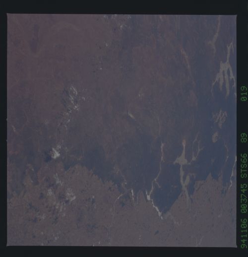
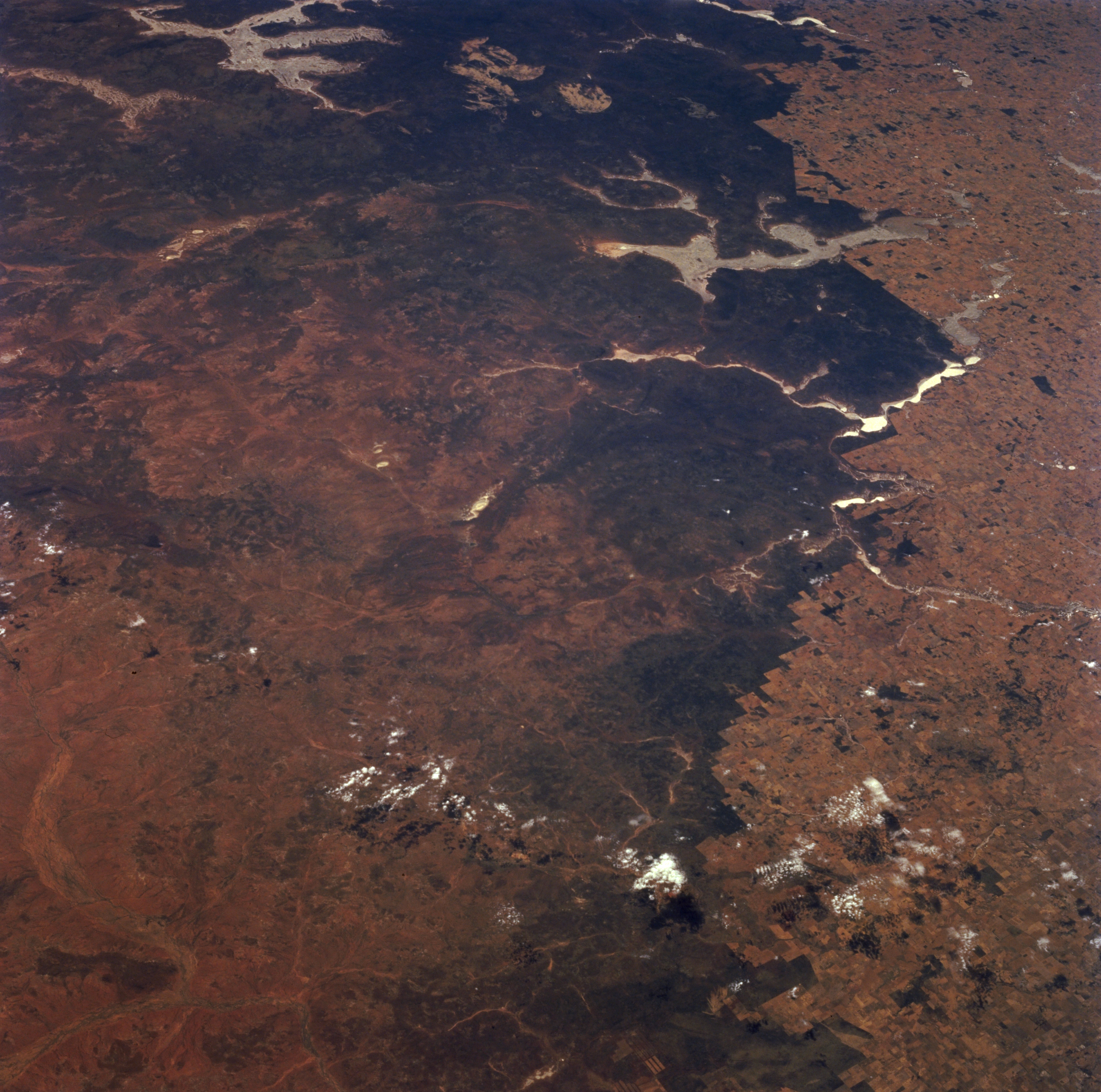
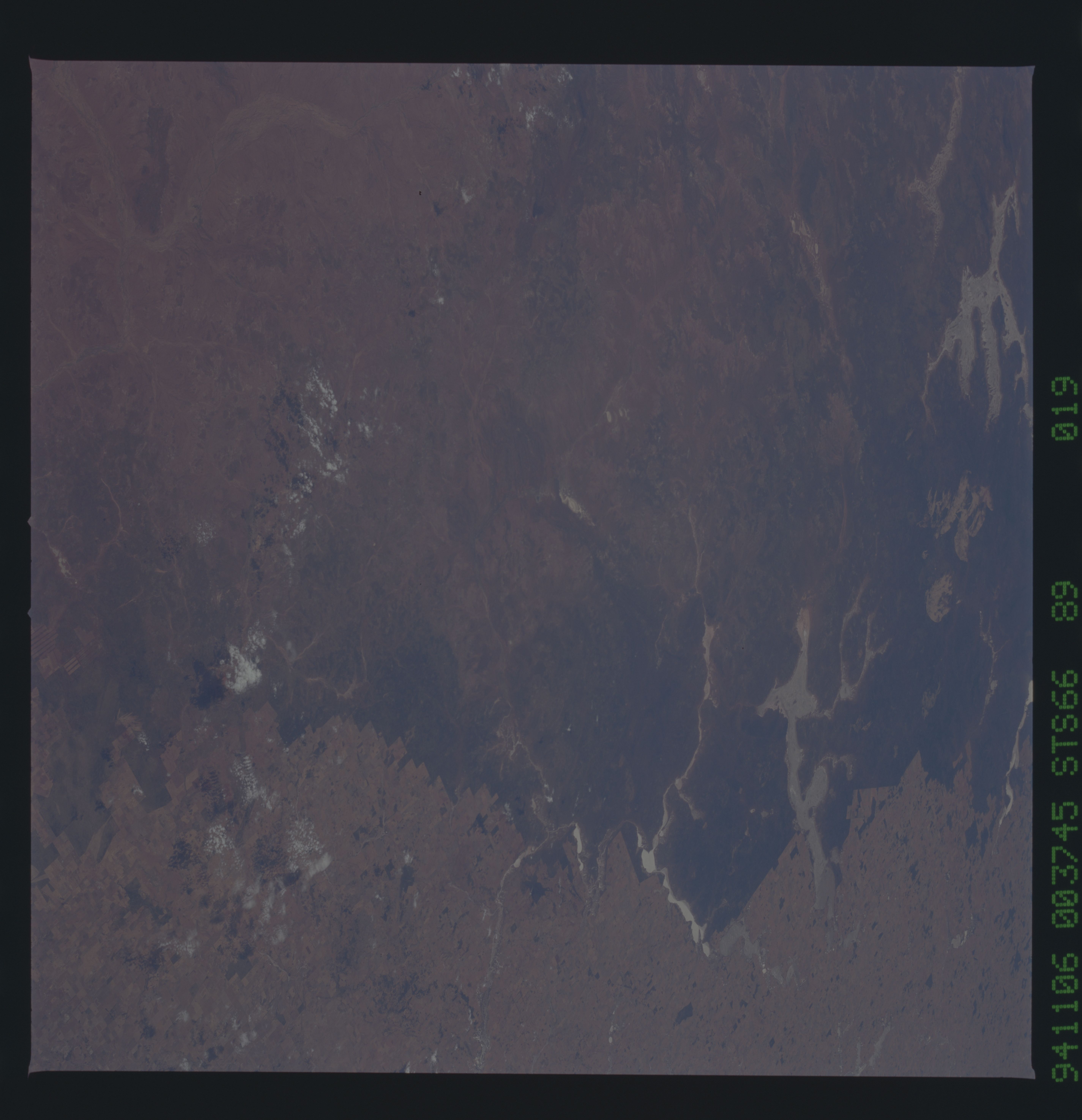
Image Caption: STS066-089-019 Lake Moore Area, Western Australia, Australia November 1994
Although the bottom half of this easterly looking, low oblique image presents a non-descriptive landscape, the numerous, large dry lake-beds (lighter features) in the upper half help to locate and identify specific features. For example, the multi-fingered (5 "arms") dry lake in the upper left corner of the image is Lake Barlee. The other sizable dry lake, Lake Moore, is visible in the upper right quadrant. The highly reflective (whitish-looking, elongated feature near right middle) surface, Mongers Lake, suggests that there may be some sun reflection off of standing water in this normally dry lake at the time that this photograph was acquired. Western Australia gets drier and more barren to the north and east. The dramatic color change shows the abrupt change as a result of man's impact on the land use pattern. The darker landscape is a more primitive, naturally occurring environment and the lighter landscape shows man's ability to change the landscape. In some cases the straight lines show where fences are located.
Although the bottom half of this easterly looking, low oblique image presents a non-descriptive landscape, the numerous, large dry lake-beds (lighter features) in the upper half help to locate and identify specific features. For example, the multi-fingered (5 "arms") dry lake in the upper left corner of the image is Lake Barlee. The other sizable dry lake, Lake Moore, is visible in the upper right quadrant. The highly reflective (whitish-looking, elongated feature near right middle) surface, Mongers Lake, suggests that there may be some sun reflection off of standing water in this normally dry lake at the time that this photograph was acquired. Western Australia gets drier and more barren to the north and east. The dramatic color change shows the abrupt change as a result of man's impact on the land use pattern. The darker landscape is a more primitive, naturally occurring environment and the lighter landscape shows man's ability to change the landscape. In some cases the straight lines show where fences are located.
