STS066-157-144
| NASA Photo ID | STS066-157-144 |
| Focal Length | 250mm |
| Date taken | 1994.11.08 |
| Time taken | 07:16:58 GMT |
Resolutions offered for this image:
5213 x 4073 pixels 639 x 500 pixels 640 x 480 pixels 612 x 480 pixels
5213 x 4073 pixels 639 x 500 pixels 640 x 480 pixels 612 x 480 pixels

Cloud masks available for this image:
Spacecraft nadir point: 44.0° N, 58.6° E
Photo center point: 43.5° N, 57.5° E
Photo center point by machine learning:
Photo center point: 43.5° N, 57.5° E
Photo center point by machine learning:
Nadir to Photo Center: West
Spacecraft Altitude: 161 nautical miles (298km)
Country or Geographic Name: | UZBEKISTAN |
Features: | DRY LAKE SW ARAL SEA |
| Features Found Using Machine Learning: | |
Cloud Cover Percentage: | 0 (no clouds present) |
Sun Elevation Angle: | 29° |
Sun Azimuth: | 171° |
Camera: | Linhof |
Focal Length: | 250mm |
Camera Tilt: | 24 degrees |
Format: | 5046: Kodak, natural color positive, Lumiere 100/5046, ASA 100, standard base |
Film Exposure: | Normal |
| Additional Information | |
| Width | Height | Annotated | Cropped | Purpose | Links |
|---|---|---|---|---|---|
| 5213 pixels | 4073 pixels | No | No | Earth From Space collection | Download Image |
| 639 pixels | 500 pixels | No | No | Earth From Space collection | Download Image |
| 640 pixels | 480 pixels | No | No | ISD 1 | Download Image |
| 612 pixels | 480 pixels | No | No | Download Image |
Download Packaged File
Download a Google Earth KML for this Image
View photo footprint information
Download a GeoTIFF for this photo
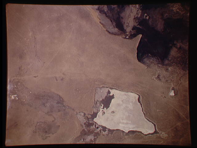
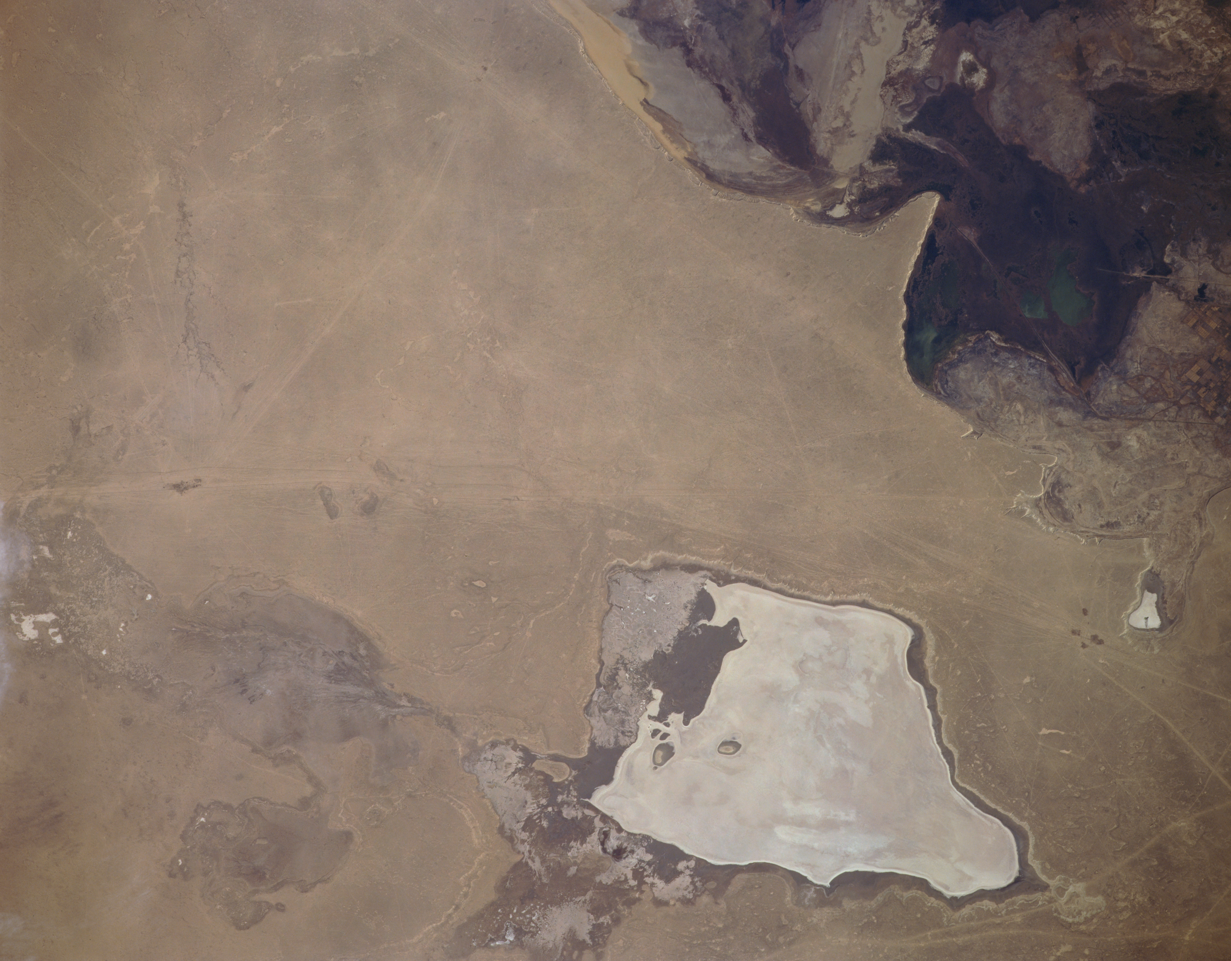
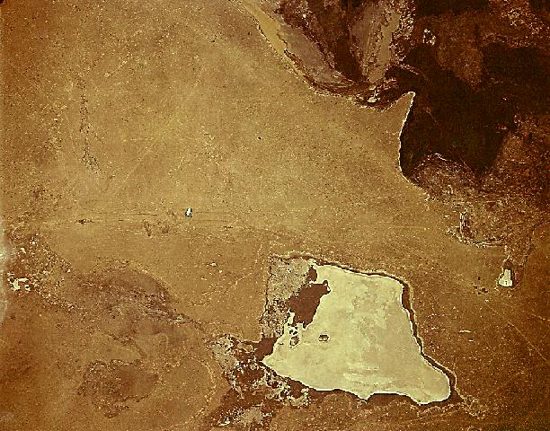
Image Caption: STS066-157-144 Barsa-Kel'mes Salt Flat, Uzbekistan November 1994
Located southwest of the Aral Sea on the eastern Ustyurt Plateau, the Barsa-Kel'mes Salt Flat (bottom center) is visible in this near nadir-looking view. The salt flat, which at times is filled with a shallow pool of water, is ice-covered during this early winter scene. The unfrozen waters of the Sudoch'ye Salt Lake (darker feature) can be seen in the upper right portion of the image. The Ustyurt Plateau is a desert tableland of an eroded landscape of horizontally bedded sandstone that sits at an altitude of between 490 to 980 feet (150 to 300 meters). The plateau is located between the Caspian and Aral Seas. The plateau's semi-nomadic population raises sheep, goats, and camels.
Located southwest of the Aral Sea on the eastern Ustyurt Plateau, the Barsa-Kel'mes Salt Flat (bottom center) is visible in this near nadir-looking view. The salt flat, which at times is filled with a shallow pool of water, is ice-covered during this early winter scene. The unfrozen waters of the Sudoch'ye Salt Lake (darker feature) can be seen in the upper right portion of the image. The Ustyurt Plateau is a desert tableland of an eroded landscape of horizontally bedded sandstone that sits at an altitude of between 490 to 980 feet (150 to 300 meters). The plateau is located between the Caspian and Aral Seas. The plateau's semi-nomadic population raises sheep, goats, and camels.
