STS066-154-76
| NASA Photo ID | STS066-154-76 |
| Focal Length | 250mm |
| Date taken | 1994.11.07 |
| Time taken | 16:11:35 GMT |
Resolutions offered for this image:
5184 x 4096 pixels 640 x 505 pixels 5184 x 4096 pixels 640 x 480 pixels 2356 x 3000 pixels 502 x 640 pixels
5184 x 4096 pixels 640 x 505 pixels 5184 x 4096 pixels 640 x 480 pixels 2356 x 3000 pixels 502 x 640 pixels


Cloud masks available for this image:
Spacecraft nadir point: 41.6° N, 75.0° W
Photo center point: 40.5° N, 74.0° W
Photo center point by machine learning:
Photo center point: 40.5° N, 74.0° W
Photo center point by machine learning:
Nadir to Photo Center: Southeast
Spacecraft Altitude: 162 nautical miles (300km)
Country or Geographic Name: | USA-NEW YORK |
Features: | NEW YORK CITY AREA |
| Features Found Using Machine Learning: | |
Cloud Cover Percentage: | 0 (no clouds present) |
Sun Elevation Angle: | 32° |
Sun Azimuth: | 171° |
Camera: | Linhof |
Focal Length: | 250mm |
Camera Tilt: | 29 degrees |
Format: | 5046: Kodak, natural color positive, Lumiere 100/5046, ASA 100, standard base |
Film Exposure: | Normal |
| Additional Information | |
| Width | Height | Annotated | Cropped | Purpose | Links |
|---|---|---|---|---|---|
| 5184 pixels | 4096 pixels | No | No | Earth From Space collection | Download Image |
| 640 pixels | 505 pixels | No | No | Earth From Space collection | Download Image |
| 5184 pixels | 4096 pixels | No | No | Download Image | |
| 640 pixels | 480 pixels | No | No | ISD 1 | Download Image |
| 2356 pixels | 3000 pixels | No | No | Download Image | |
| 502 pixels | 640 pixels | No | No | Download Image |
Download Packaged File
Download a Google Earth KML for this Image
View photo footprint information
Download a GeoTIFF for this photo
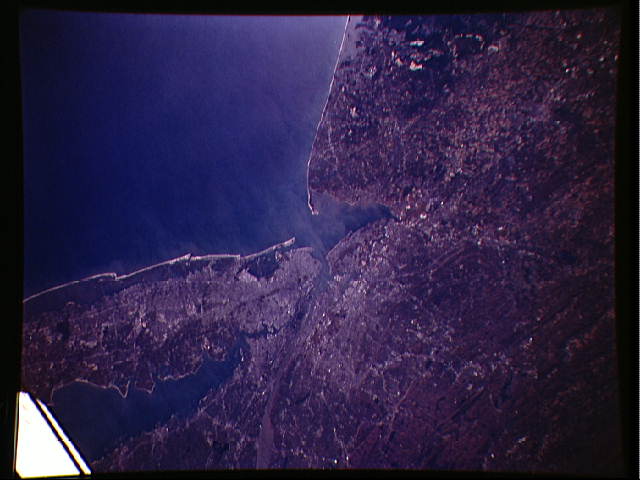
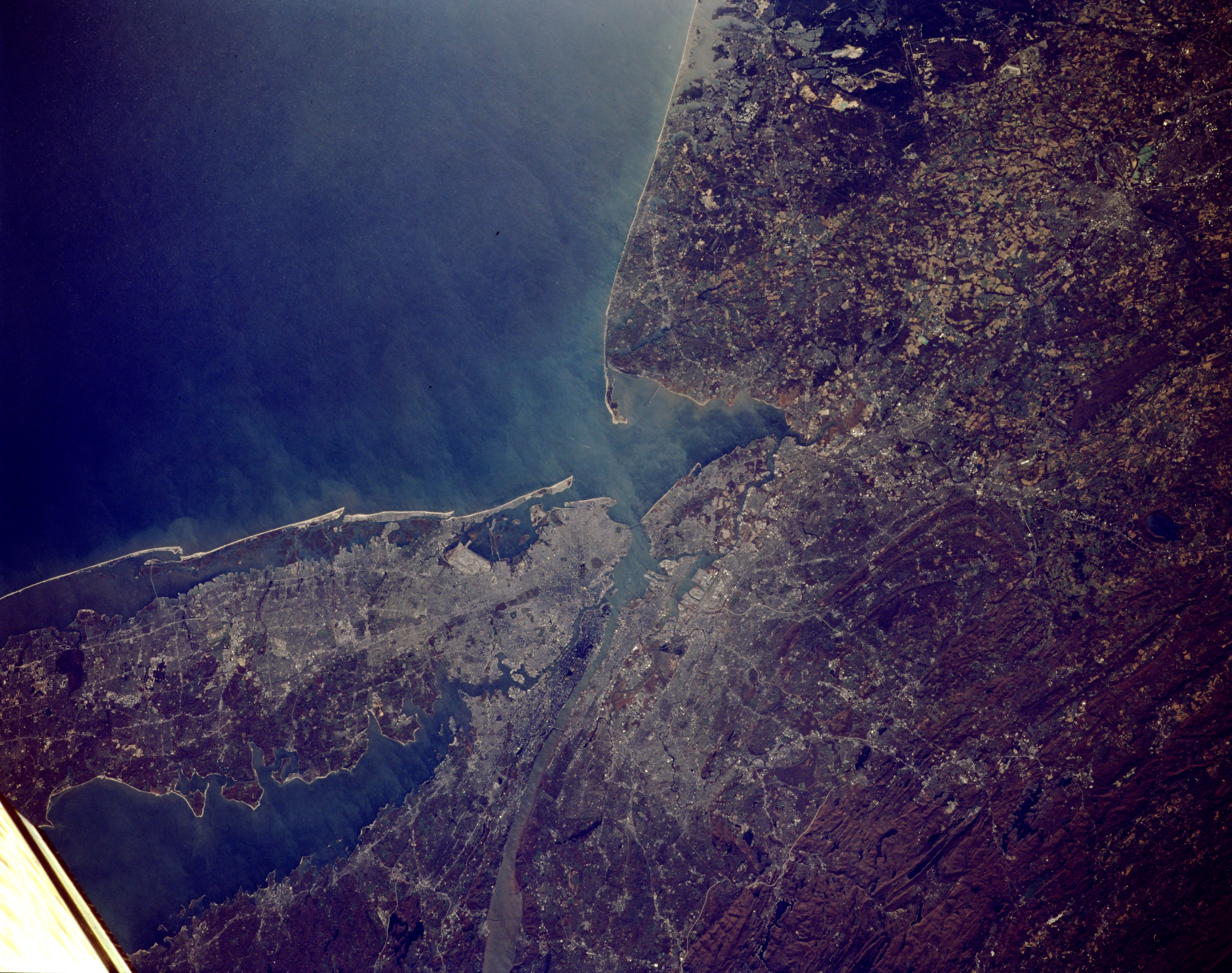
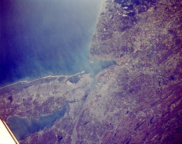
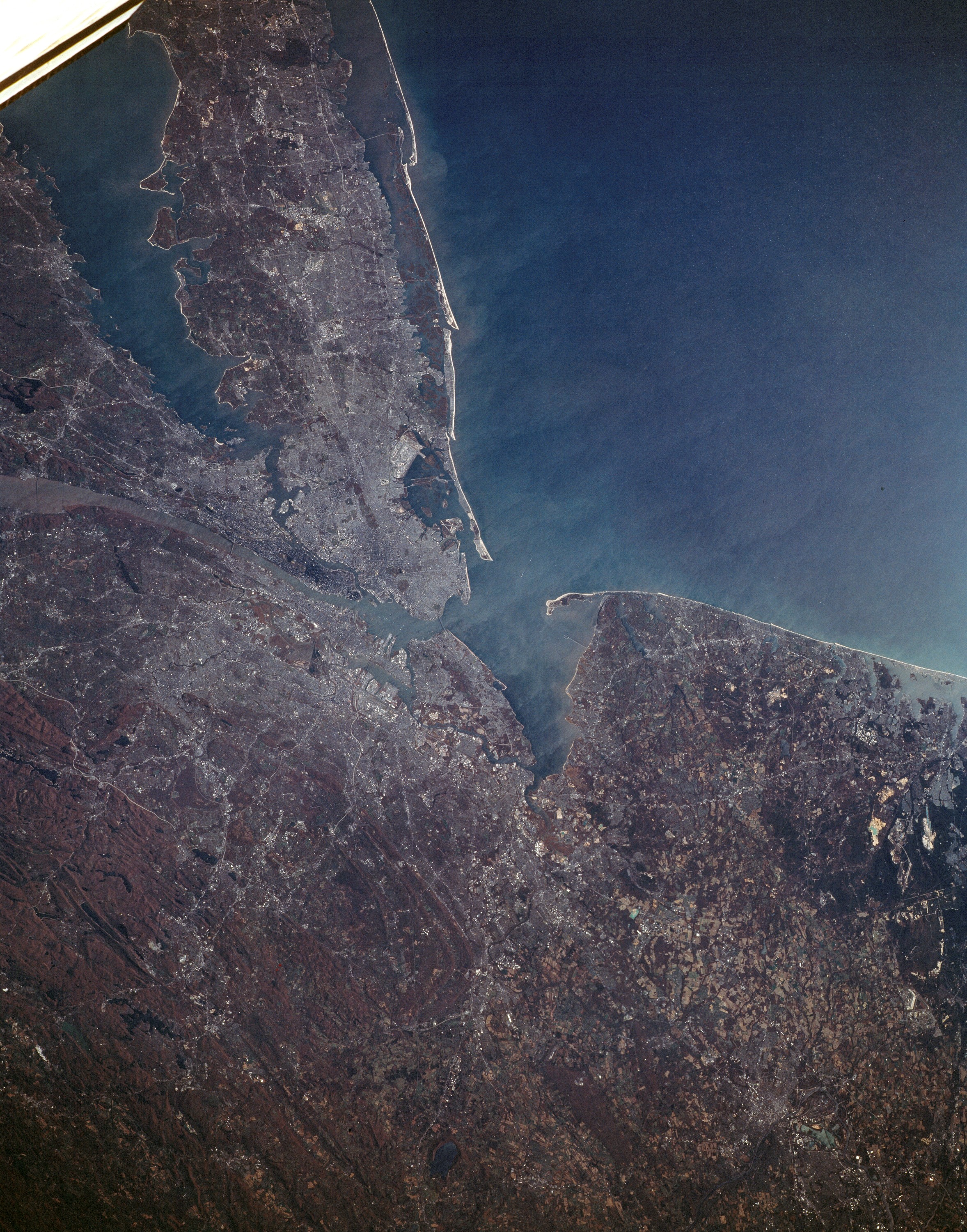
Image Caption: STS066-154-076 New York City Metropolitan Area, New York November 1994
The largest metropolitan area in the United States and one of the largest in the world, the New York City Metropolitan area (center of image) can be seen in this north-looking view. To the left (west) of New York City, the eastern linear, folded Appalachian Mountains in northwestern New Jersey are visible. South of New York City, Sandy Hook and the coastal areas of eastern New Jersey are discernible. The Atlantic Ocean covers the whole lower portion of the image. Western Long Island and Long Island Sound
Cover the upper right quadrant of the image. The sediment-laden Hudson River is visible extending northward from near the center of the image to near the upper center of the image. New York City has the largest port in the United States and is one of the leading ports in the world. The city is a major trade center and the leading financial center of the entire world. New York City is the seat of the United Nations.
