STS066-154-55
| NASA Photo ID | STS066-154-55 |
| Focal Length | 250mm |
| Date taken | 1994.11.07 |
| Time taken | 16:08:53 GMT |
Resolutions offered for this image:
640 x 480 pixels
640 x 480 pixels
Cloud masks available for this image:
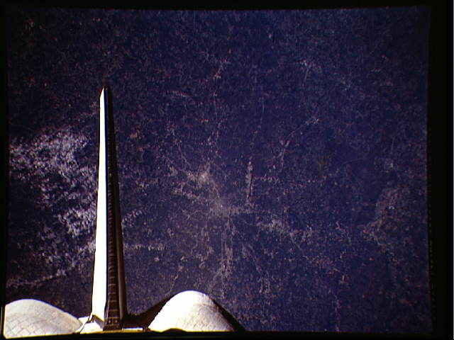
Spacecraft nadir point: 33.8° N, 83.7° W
Photo center point: 34.0° N, 84.5° W
Photo center point by machine learning:
Photo center point: 34.0° N, 84.5° W
Photo center point by machine learning:
Nadir to Photo Center: West
Spacecraft Altitude: 161 nautical miles (298km)
Country or Geographic Name: | USA-GEORGIA |
Features: | ATLANTA AREA |
| Features Found Using Machine Learning: | |
Cloud Cover Percentage: | 5 (1-10)% |
Sun Elevation Angle: | 37° |
Sun Azimuth: | 159° |
Camera: | Linhof |
Focal Length: | 250mm |
Camera Tilt: | 17 degrees |
Format: | 5046: Kodak, natural color positive, Lumiere 100/5046, ASA 100, standard base |
Film Exposure: | Normal |
| Additional Information | |
| Width | Height | Annotated | Cropped | Purpose | Links |
|---|---|---|---|---|---|
| 640 pixels | 480 pixels | No | No | ISD 1 | Download Image |
Download Packaged File
Download a Google Earth KML for this Image
View photo footprint information
Download a GeoTIFF for this photo
Image Caption: none
