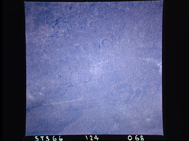
STS066-124-68
| NASA Photo ID | STS066-124-68 |
| Focal Length | 100mm |
| Date taken | 1994.11.__ |
| Time taken | GMT |
Resolutions offered for this image:
3875 x 3904 pixels 635 x 639 pixels 5700 x 5900 pixels 500 x 518 pixels 640 x 480 pixels
3875 x 3904 pixels 635 x 639 pixels 5700 x 5900 pixels 500 x 518 pixels 640 x 480 pixels

Cloud masks available for this image:
Spacecraft nadir point:
Photo center point: 43.0° N, 83.5° W
Photo center point by machine learning:
Photo center point: 43.0° N, 83.5° W
Photo center point by machine learning:
Nadir to Photo Center:
Spacecraft Altitude: nautical miles (0km)
Country or Geographic Name: | USA-MICHIGAN |
Features: | FLINT, AGRICULTURE |
| Features Found Using Machine Learning: | |
Cloud Cover Percentage: | 5 (1-10)% |
Sun Elevation Angle: | ° |
Sun Azimuth: | ° |
Camera: | Hasselblad |
Focal Length: | 100mm |
Camera Tilt: | |
Format: | 5046: Kodak, natural color positive, Lumiere 100/5046, ASA 100, standard base |
Film Exposure: | Normal |
| Additional Information | |
| Width | Height | Annotated | Cropped | Purpose | Links |
|---|---|---|---|---|---|
| 3875 pixels | 3904 pixels | No | No | Earth From Space collection | Download Image |
| 635 pixels | 639 pixels | No | No | Earth From Space collection | Download Image |
| 5700 pixels | 5900 pixels | No | No | Download Image | |
| 500 pixels | 518 pixels | No | No | Download Image | |
| 640 pixels | 480 pixels | No | No | Download Image |
Download Packaged File
Download a Google Earth KML for this Image
View photo footprint information
Download a GeoTIFF for this photo
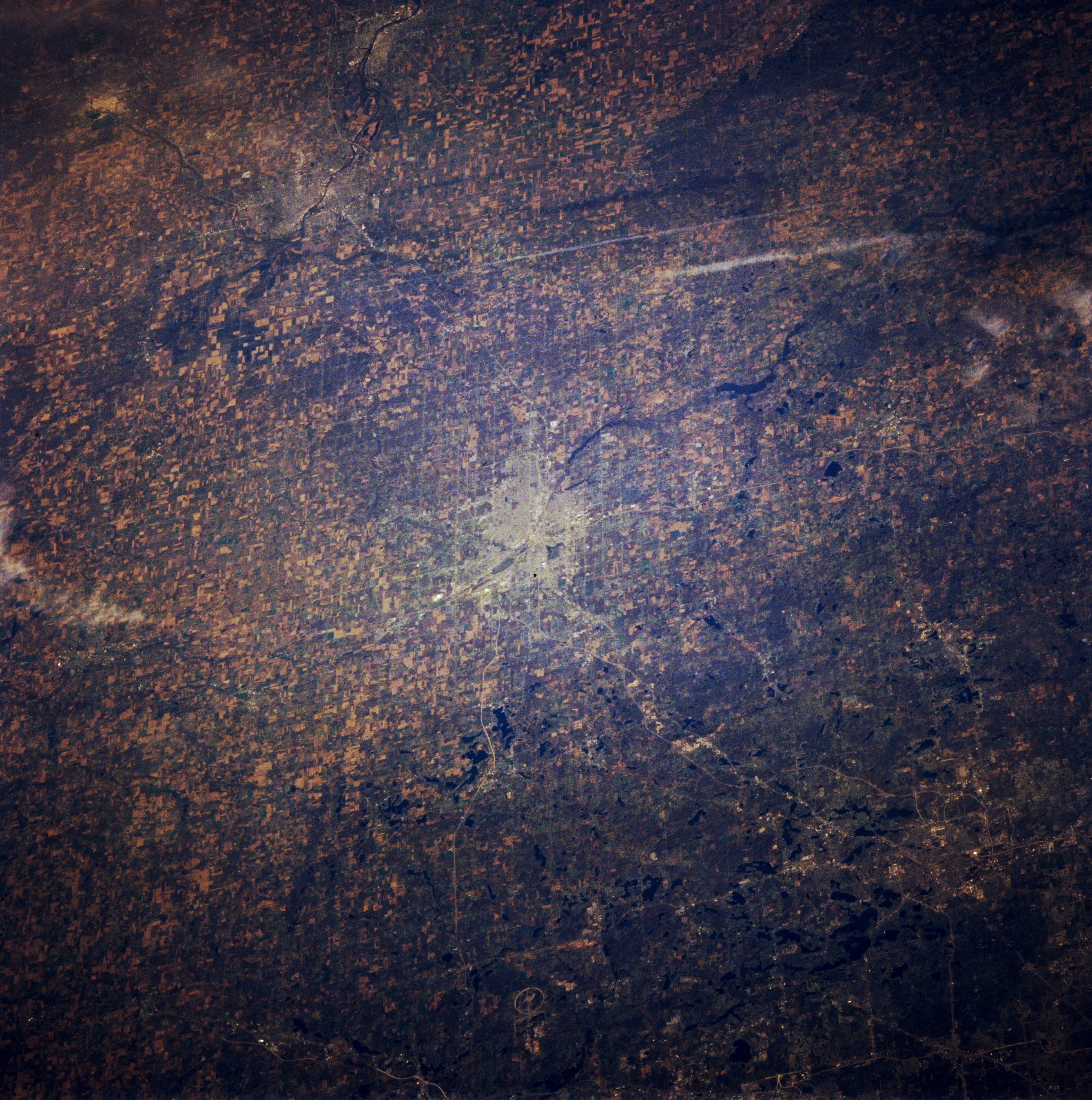
Image Caption: STS066-124-068 Pontiac and Flint, Michigan, U.S.A. November 1994
Viewing south to north, this panoramic, north-looking, low-oblique photograph features several cities--Pontiac (lower right); Flint (near center), a chief automobile manufacturing center on the Flint River; Saginaw, a rich agricultural area on the Saginaw River 15 miles (24 kilometers) south of Saginaw Bay; and Bay City (left of upper center), which lies at the mouth of the Saginaw River that enters Saginaw Bay, an inlet of Lake Huron (not visible). Bay City is the industrial, marketing, and shipping center of a rich farm area, and its harbors handle considerable Great Lakes and ocean shipping. Both Bay City and Saginaw are rich in Indian relics.
Viewing south to north, this panoramic, north-looking, low-oblique photograph features several cities--Pontiac (lower right); Flint (near center), a chief automobile manufacturing center on the Flint River; Saginaw, a rich agricultural area on the Saginaw River 15 miles (24 kilometers) south of Saginaw Bay; and Bay City (left of upper center), which lies at the mouth of the Saginaw River that enters Saginaw Bay, an inlet of Lake Huron (not visible). Bay City is the industrial, marketing, and shipping center of a rich farm area, and its harbors handle considerable Great Lakes and ocean shipping. Both Bay City and Saginaw are rich in Indian relics.
