STS066-124-45
| NASA Photo ID | STS066-124-45 |
| Focal Length | 100mm |
| Date taken | 1994.11.10 |
| Time taken | 16:32:30 GMT |
Resolutions offered for this image:
3904 x 3904 pixels 639 x 639 pixels 5700 x 5900 pixels 500 x 518 pixels 640 x 480 pixels
3904 x 3904 pixels 639 x 639 pixels 5700 x 5900 pixels 500 x 518 pixels 640 x 480 pixels


Cloud masks available for this image:
Spacecraft nadir point: 42.6° N, 95.8° W
Photo center point: 41.5° N, 96.0° W
Photo center point by machine learning:
Photo center point: 41.5° N, 96.0° W
Photo center point by machine learning:
Nadir to Photo Center: South
Spacecraft Altitude: 158 nautical miles (293km)
Country or Geographic Name: | USA-NEBRASKA |
Features: | OMAHA, MISSOURI R., AGR. |
| Features Found Using Machine Learning: | |
Cloud Cover Percentage: | 0 (no clouds present) |
Sun Elevation Angle: | 27° |
Sun Azimuth: | 155° |
Camera: | Hasselblad |
Focal Length: | 100mm |
Camera Tilt: | 23 degrees |
Format: | 5046: Kodak, natural color positive, Lumiere 100/5046, ASA 100, standard base |
Film Exposure: | Normal |
| Additional Information | |
| Width | Height | Annotated | Cropped | Purpose | Links |
|---|---|---|---|---|---|
| 3904 pixels | 3904 pixels | No | No | Earth From Space collection | Download Image |
| 639 pixels | 639 pixels | No | No | Earth From Space collection | Download Image |
| 5700 pixels | 5900 pixels | No | No | Download Image | |
| 500 pixels | 518 pixels | No | No | Download Image | |
| 640 pixels | 480 pixels | No | No | Download Image |
Download Packaged File
Download a Google Earth KML for this Image
View photo footprint information
Download a GeoTIFF for this photo
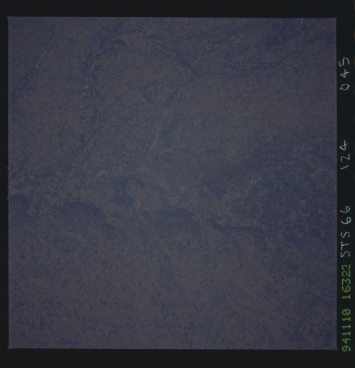
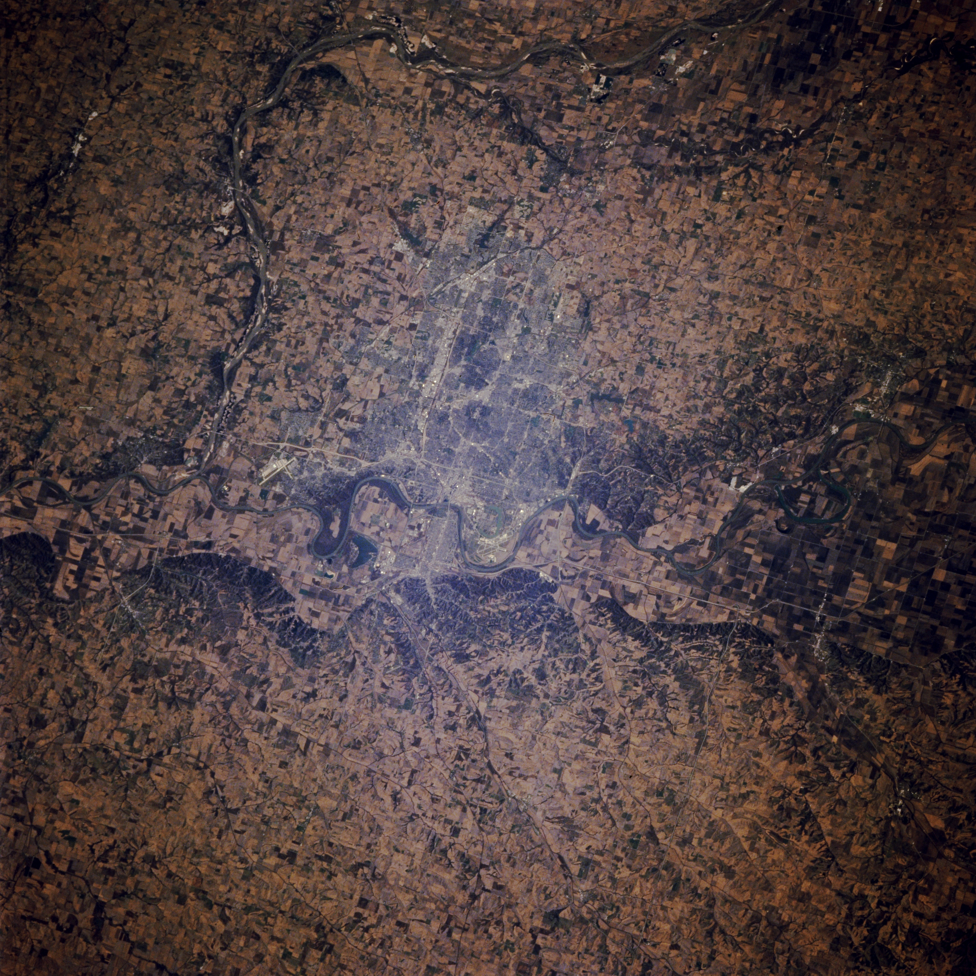
Image Caption: STS066-124-045 Omaha, Nebraska, and Council Bluffs, Iowa, U.S.A. November 1994
Situated in the heart of the United States farming and agricultural region, the cities of Omaha, Nebraska, and Council Bluffs, Iowa, are evident in this west-southwest-looking, low-oblique photograph. Visible is the south-flowing Platte River as it turns eastward to join the south-flowing Missouri River 20 miles (32 kilometers) south of Omaha, one of the largest livestock markets and meat processing centers in the world. Apparent midway between Omaha and the Platte River are the runways of Offutt Air Force Base, the headquarters of the U.S. Air Force Strategic Air Command.
Situated in the heart of the United States farming and agricultural region, the cities of Omaha, Nebraska, and Council Bluffs, Iowa, are evident in this west-southwest-looking, low-oblique photograph. Visible is the south-flowing Platte River as it turns eastward to join the south-flowing Missouri River 20 miles (32 kilometers) south of Omaha, one of the largest livestock markets and meat processing centers in the world. Apparent midway between Omaha and the Platte River are the runways of Offutt Air Force Base, the headquarters of the U.S. Air Force Strategic Air Command.
