STS066-124-34
| NASA Photo ID | STS066-124-34 |
| Focal Length | 100mm |
| Date taken | 1994.11.__ |
| Time taken | GMT |
Resolutions offered for this image:
3904 x 3904 pixels 639 x 639 pixels 5700 x 5900 pixels 500 x 518 pixels 640 x 480 pixels
3904 x 3904 pixels 639 x 639 pixels 5700 x 5900 pixels 500 x 518 pixels 640 x 480 pixels
Cloud masks available for this image:
Spacecraft nadir point:
Photo center point: 36.5° N, 105.5° W
Photo center point by machine learning:
Photo center point: 36.5° N, 105.5° W
Photo center point by machine learning:
Nadir to Photo Center:
Spacecraft Altitude: nautical miles (0km)
Country or Geographic Name: | USA-NEW MEXICO |
Features: | SANGRE DE CRISTO MTS, VOL |
| Features Found Using Machine Learning: | |
Cloud Cover Percentage: | 0 (no clouds present) |
Sun Elevation Angle: | ° |
Sun Azimuth: | ° |
Camera: | Hasselblad |
Focal Length: | 100mm |
Camera Tilt: | Low Oblique |
Format: | 5046: Kodak, natural color positive, Lumiere 100/5046, ASA 100, standard base |
Film Exposure: | Normal |
| Additional Information | |
| Width | Height | Annotated | Cropped | Purpose | Links |
|---|---|---|---|---|---|
| 3904 pixels | 3904 pixels | No | No | Earth From Space collection | Download Image |
| 639 pixels | 639 pixels | No | No | Earth From Space collection | Download Image |
| 5700 pixels | 5900 pixels | No | No | Download Image | |
| 500 pixels | 518 pixels | No | No | Download Image | |
| 640 pixels | 480 pixels | No | No | Download Image |
Download Packaged File
Download a Google Earth KML for this Image
View photo footprint information
Download a GeoTIFF for this photo
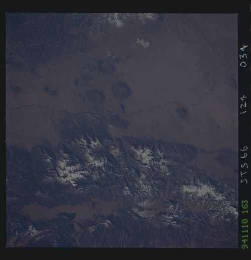
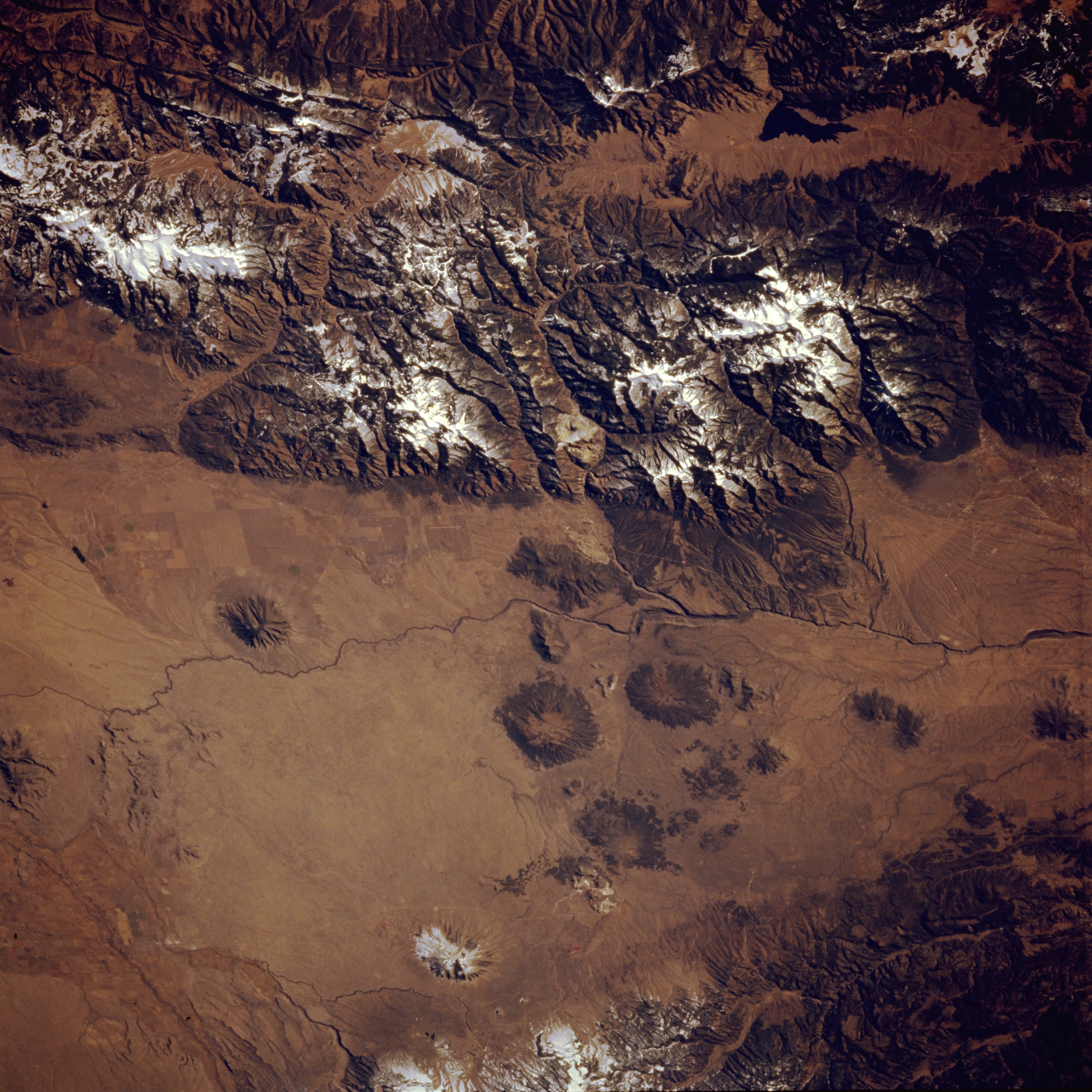
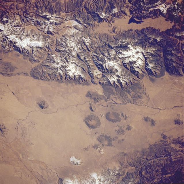
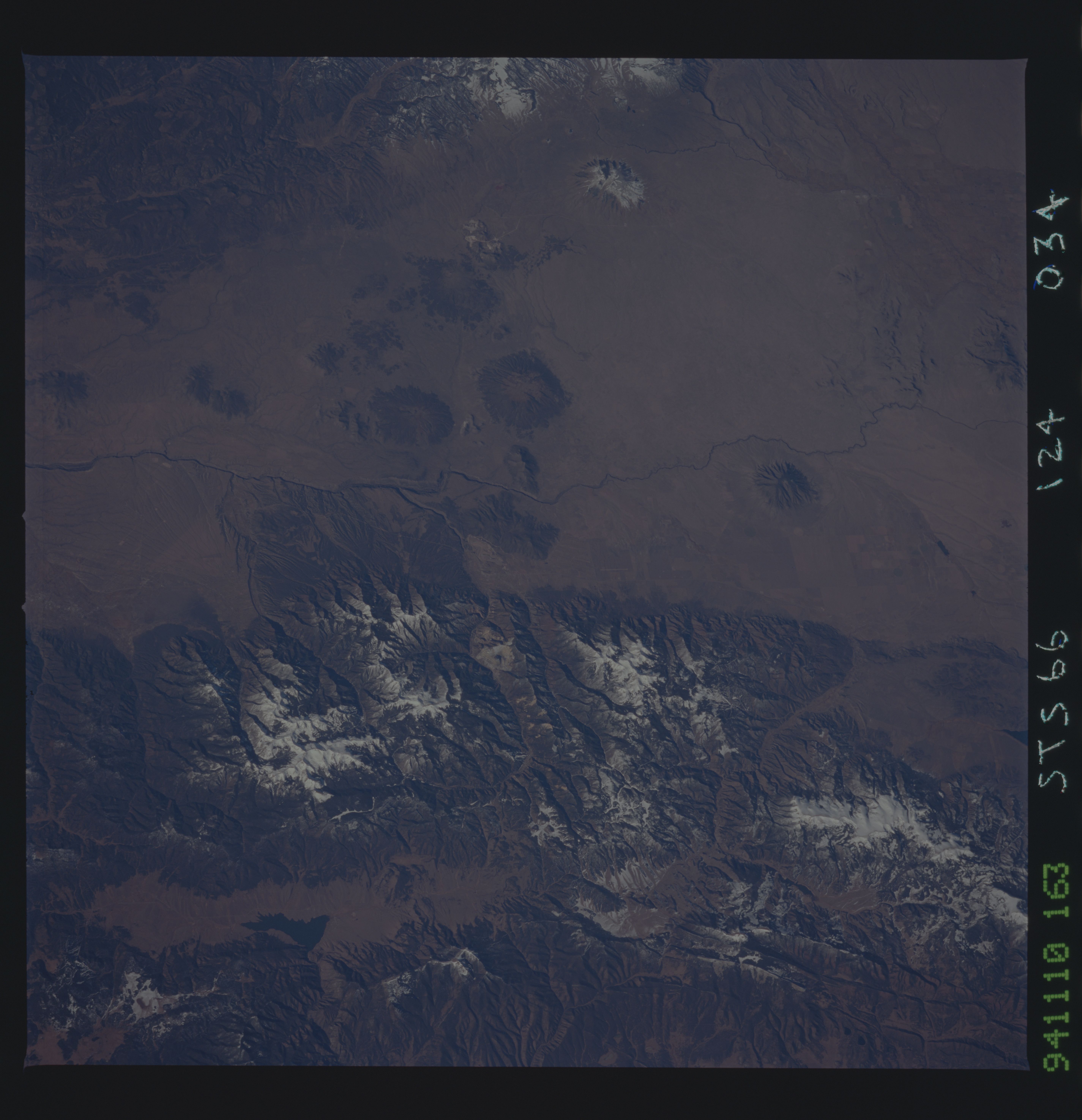
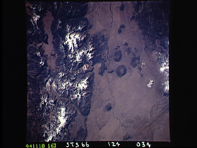
Image Caption: STS066-124-034 Southern End of San Luis Valley, New Mexico, U.S.A. November 1994
Nestled between the Sangre de Cristo Mountains, including the Taos Mountains, to the east and the Tusas and Brazos Mountains to the west, the southern end of the dry San Luis Valley in north-central New Mexico shows a segment of the south-flowing Rio Grande and its rift valley, the most rapidly subsiding part of the entire rift system. Snow appears on some higher elevations on both sides of the valley. Circular volcanic cinder cones, with most of the peaks exceeding 9000 feet (2743 meters), are visible on the relatively flat, elevated Taos Plateau.
Nestled between the Sangre de Cristo Mountains, including the Taos Mountains, to the east and the Tusas and Brazos Mountains to the west, the southern end of the dry San Luis Valley in north-central New Mexico shows a segment of the south-flowing Rio Grande and its rift valley, the most rapidly subsiding part of the entire rift system. Snow appears on some higher elevations on both sides of the valley. Circular volcanic cinder cones, with most of the peaks exceeding 9000 feet (2743 meters), are visible on the relatively flat, elevated Taos Plateau.
