STS066-106-92
| NASA Photo ID | STS066-106-92 |
| Focal Length | 100mm |
| Date taken | 1994.11.05 |
| Time taken | 11:25:34 GMT |
Cloud masks available for this image:
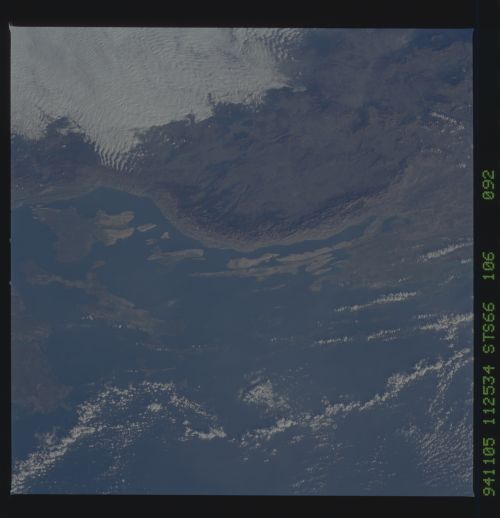
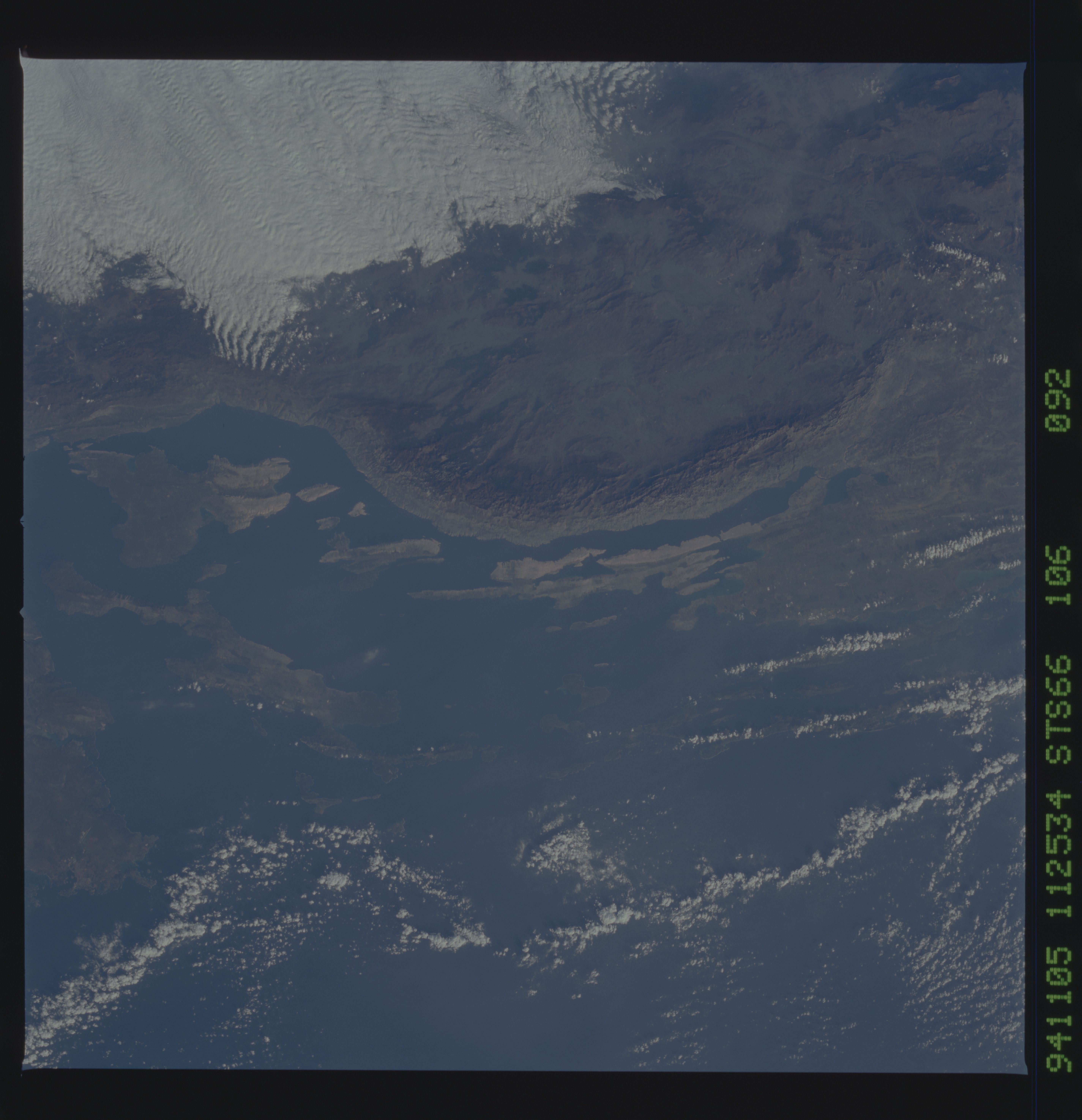
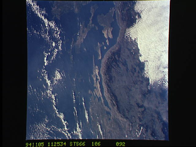
Spacecraft nadir point: 45.0° N, 14.1° E
Photo center point: 44.5° N, 15.0° E
Photo center point by machine learning:
Photo center point: 44.5° N, 15.0° E
Photo center point by machine learning:
Nadir to Photo Center: Southeast
Spacecraft Altitude: 163 nautical miles (302km)
Country or Geographic Name: | CROATIA |
Features: | DINARIC ALPS, ISLANDS, CL |
| Features Found Using Machine Learning: | |
Cloud Cover Percentage: | 15 (11-25)% |
Sun Elevation Angle: | 29° |
Sun Azimuth: | 191° |
Camera: | Hasselblad |
Focal Length: | 100mm |
Camera Tilt: | 21 degrees |
Format: | 5046: Kodak, natural color positive, Lumiere 100/5046, ASA 100, standard base |
Film Exposure: | Normal |
| Additional Information | |
| Width | Height | Annotated | Cropped | Purpose | Links |
|---|---|---|---|---|---|
| 5700 pixels | 5900 pixels | No | No | Download Image | |
| 500 pixels | 518 pixels | No | No | Download Image | |
| 640 pixels | 480 pixels | No | No | Download Image |
Download Packaged File
Download a Google Earth KML for this Image
View photo footprint information
Download a GeoTIFF for this photo
Image Caption: The Adriatic coast of Bosnia-Herzegovina and Croatia is centered at approximately 44.5 degrees north and 15.0 degrees east. North is at the bottom of the frame. The town of Bihac is located under the cloud layer in the center left of the frame. The terrain is composed of limestone and thegeomorphic term "karst" is named after the city in the area. The Velebit Mountains form the ruggedd coast in the center of the frame.
