STS066-103-20
| NASA Photo ID | STS066-103-20 |
| Focal Length | 250mm |
| Date taken | 1994.11.06 |
| Time taken | 12:45:51 GMT |
Cloud masks available for this image:
Spacecraft nadir point: 13.1° S, 60.8° W
Photo center point:
Photo center point by machine learning:
Photo center point:
Photo center point by machine learning:
Nadir to Photo Center:
Spacecraft Altitude: 161 nautical miles (298km)
Country or Geographic Name: | BRAZIL |
Features: | DEFORESTATION, AGRICULTURE |
| Features Found Using Machine Learning: | |
Cloud Cover Percentage: | 0 (no clouds present) |
Sun Elevation Angle: | 46° |
Sun Azimuth: | 100° |
Camera: | Hasselblad |
Focal Length: | 250mm |
Camera Tilt: | Low Oblique |
Format: | 5046: Kodak, natural color positive, Lumiere 100/5046, ASA 100, standard base |
Film Exposure: | Normal |
| Additional Information | |
| Width | Height | Annotated | Cropped | Purpose | Links |
|---|---|---|---|---|---|
| 5700 pixels | 5900 pixels | No | No | Download Image | |
| 500 pixels | 518 pixels | No | No | Download Image | |
| 640 pixels | 480 pixels | No | No | Download Image |
Download Packaged File
Download a Google Earth KML for this Image
View photo footprint information
Download a GeoTIFF for this photo
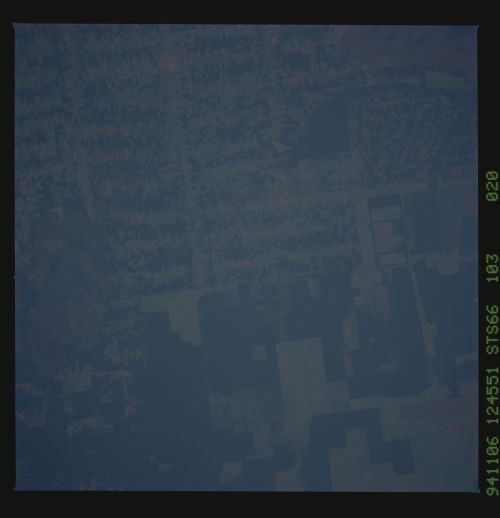
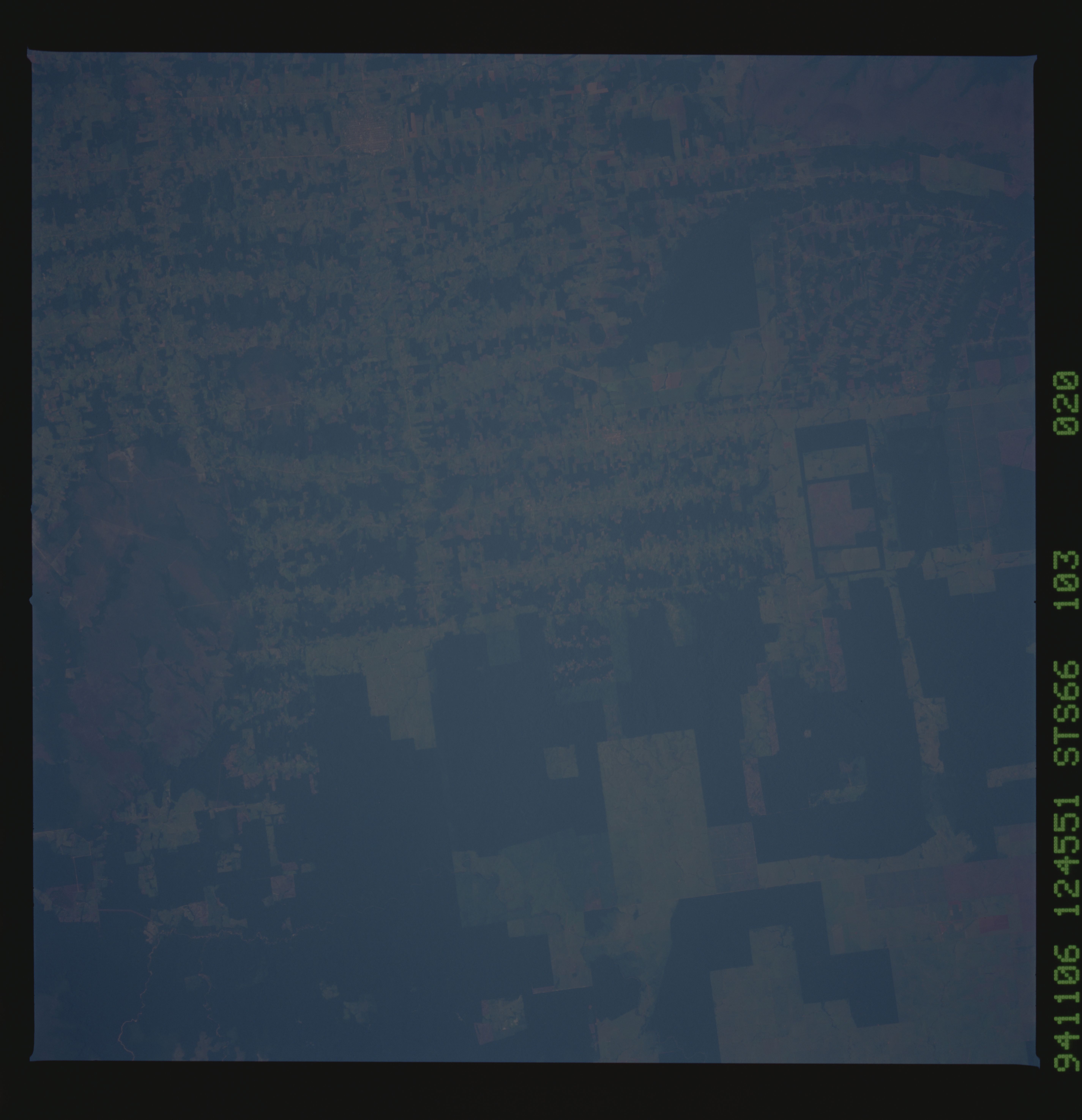
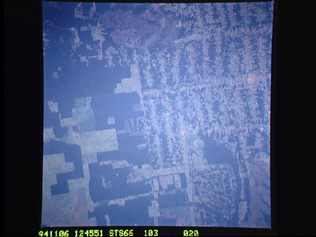
Image Caption: This near vertical photograph illustrates the differences in agricultural land patterns typically seen in many parts of southwestern Brazil, near the Bolivian border (fig. 9). The larger rectangular field patterns reflect a mature, fully developed agricultural environment. The smaller areas are less well defined and indicate new agricultural development. Photographs such as this one provide scientists with insight into the rate at which the tropical rain forest and its marginal transition zones are being altered by human activity.
This near vertical photograph illustrates the differences in agricultural land patterns typically seen in many parts of southwestern Brazil, near the Bolivian border. The larger rectangular field patterns reflect a mature, fully developed agricultural environment. The smaller areas are less well defined and indicate new agricultural development.
This near vertical photograph illustrates the differences in agricultural land patterns typically seen in many parts of southwestern Brazil, near the Bolivian border. The larger rectangular field patterns reflect a mature, fully developed agricultural environment. The smaller areas are less well defined and indicate new agricultural development.
