STS065-99-64
| NASA Photo ID | STS065-99-64 |
| Focal Length | 250mm |
| Date taken | 1994.07.13 |
| Time taken | 19:12:10 GMT |
Cloud masks available for this image:
Spacecraft nadir point: 6.0° S, 58.8° W
Photo center point: 6.5° S, 59.5° W
Photo center point by machine learning:
Photo center point: 6.5° S, 59.5° W
Photo center point by machine learning:
Nadir to Photo Center: Southwest
Spacecraft Altitude: 163 nautical miles (302km)
Country or Geographic Name: | BRAZIL |
Features: | DEFORESTATION, ROAD |
| Features Found Using Machine Learning: | |
Cloud Cover Percentage: | 25 (11-25)% |
Sun Elevation Angle: | 36° |
Sun Azimuth: | 302° |
Camera: | Hasselblad |
Focal Length: | 250mm |
Camera Tilt: | 18 degrees |
Format: | 5048: Kodak, natural color positive, Lumiere 100x/5048, ASA 100x, standard base |
Film Exposure: | Normal |
| Additional Information | |
| Width | Height | Annotated | Cropped | Purpose | Links |
|---|---|---|---|---|---|
| 5700 pixels | 5900 pixels | No | No | Download Image | |
| 500 pixels | 518 pixels | No | No | Download Image | |
| 640 pixels | 480 pixels | No | No | Download Image |
Download Packaged File
Download a Google Earth KML for this Image
View photo footprint information
Download a GeoTIFF for this photo
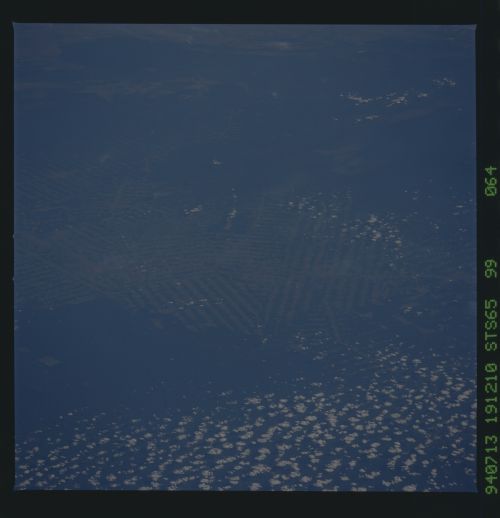
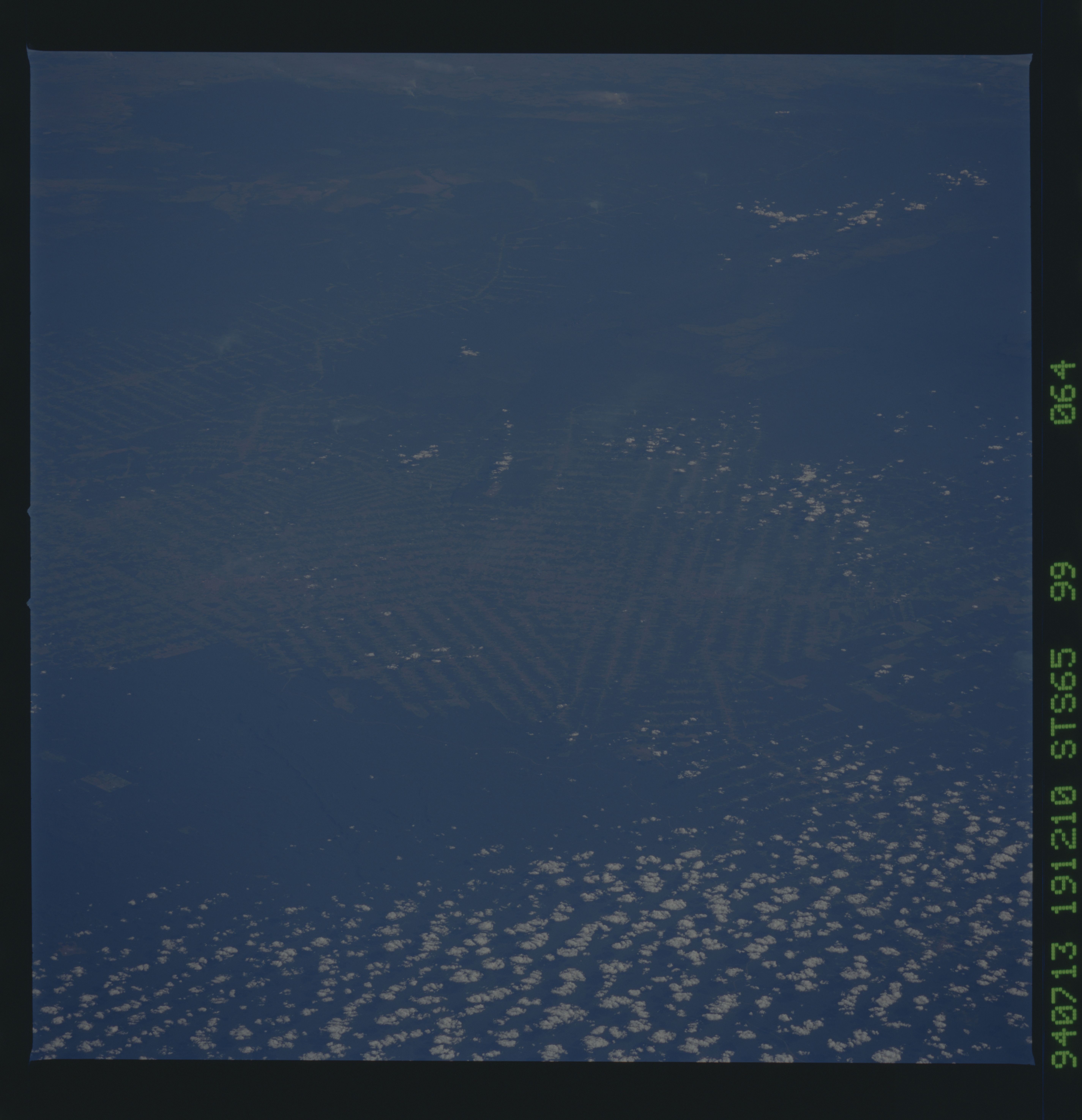
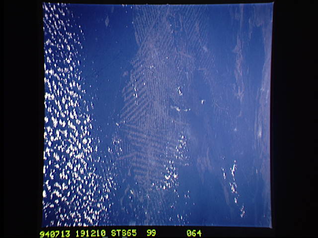
Image Caption: STS-65 Earth observation taken aboard Columbia, Orbiter Vehicle (OV) 102, shows deforestation in Rondonia, Brazil. he fishbone pattern in the middle ground is the western half of the great newly deforested zone in the vast green rainforest of Rondonia (deforested area in the view is approximately 200 kilometers in length). Apart from a relatively small area of commercial forestry and some mining in the area covered by the view, clearing of rainforest has taken place since 1988. Points of complete clearing are towns aligned along the axis of the deforested zone. The somewhat cleared areas in the distance (top middle to top right) are a low range of hills (up to 500 meters) known as the Serra dos Parecis. In this south-looking view, the line of clearing in the distance is an axis of development on the main road to the Bolivian border.
