STS065-84-89

| NASA Photo ID | STS065-84-89 |
| Focal Length | 250mm |
| Date taken | 1994.07.18 |
| Time taken | 12:16:49 GMT |
Resolutions offered for this image:
5700 x 5900 pixels 500 x 518 pixels 640 x 480 pixels 2376 x 2577 pixels 2616 x 2593 pixels
5700 x 5900 pixels 500 x 518 pixels 640 x 480 pixels 2376 x 2577 pixels 2616 x 2593 pixels

Cloud masks available for this image:
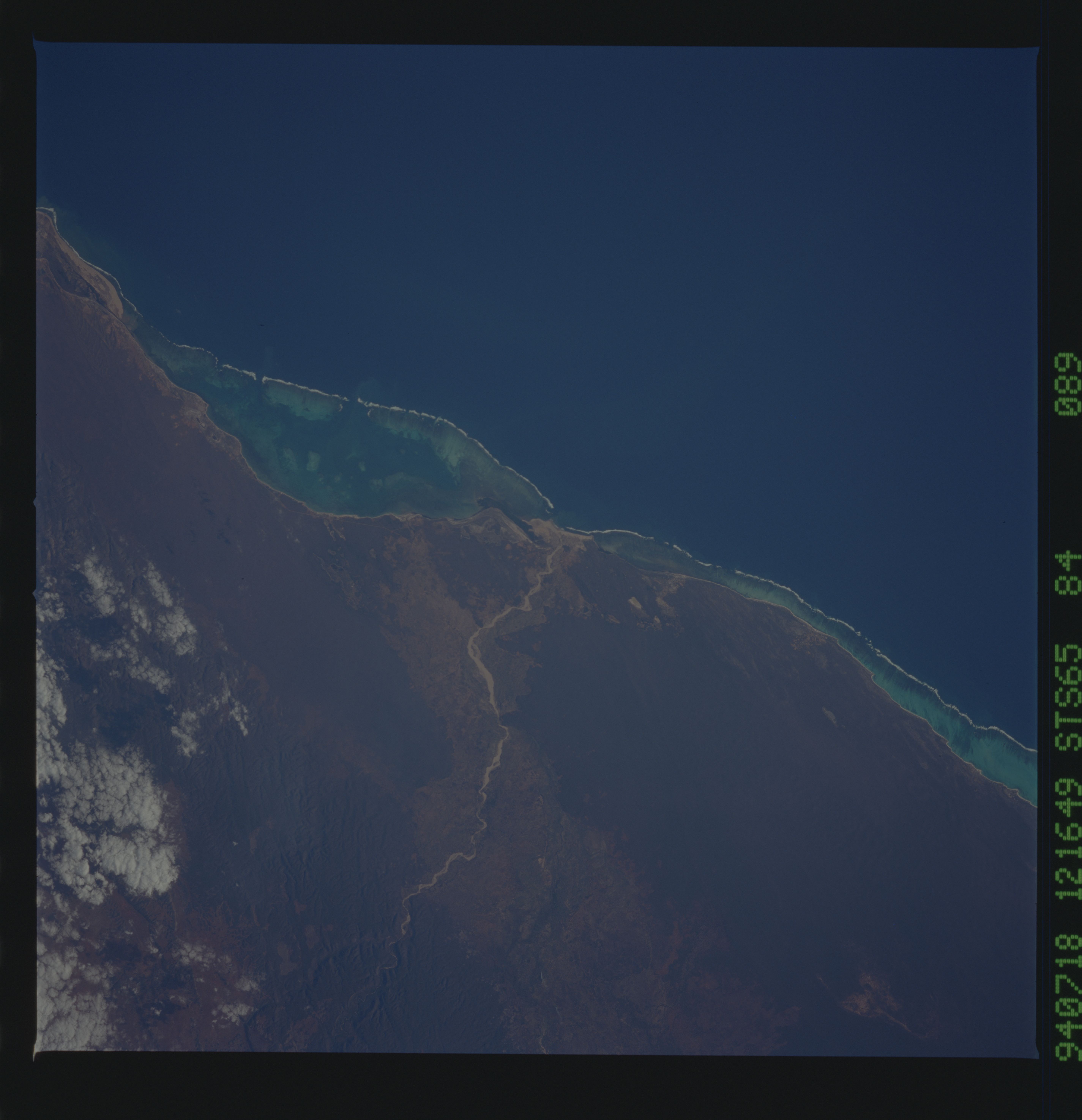
Spacecraft nadir point: 22.7° S, 44.1° E
Photo center point: 23.5° S, 43.5° E
Photo center point by machine learning:
Photo center point: 23.5° S, 43.5° E
Photo center point by machine learning:
Nadir to Photo Center: Southwest
Spacecraft Altitude: 163 nautical miles (302km)
Camera: | Hasselblad |
Focal Length: | 250mm |
Camera Tilt: | 20 degrees |
Format: | 5048: Kodak, natural color positive, Lumiere 100x/5048, ASA 100x, standard base |
Film Exposure: | Normal |
| Additional Information | |
| Width | Height | Annotated | Cropped | Purpose | Links |
|---|---|---|---|---|---|
| 5700 pixels | 5900 pixels | No | No | Download Image | |
| 500 pixels | 518 pixels | No | No | Download Image | |
| 640 pixels | 480 pixels | No | No | Download Image | |
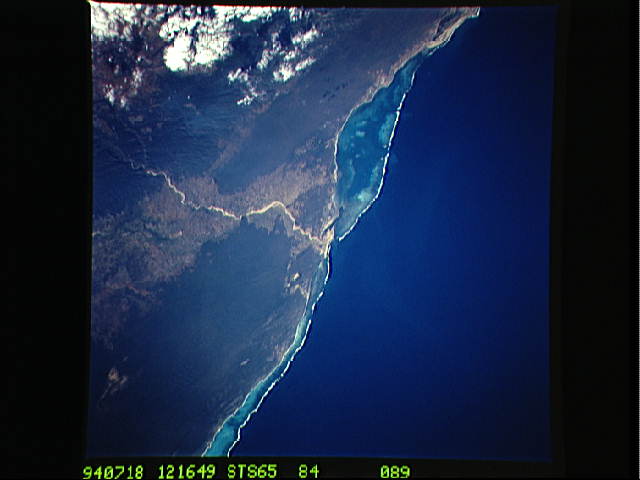
| 2376 pixels | 2577 pixels | No | Yes | ReefBase 1 | Download Image |
| 2616 pixels | 2593 pixels | No | No | ReefBase 1 | Download Image |
Download Packaged File
Download a Google Earth KML for this Image
View photo footprint information
Download a GeoTIFF for this photo
Image Caption: none
