STS065-72-80
| NASA Photo ID | STS065-72-80 |
| Focal Length | 100mm |
| Date taken | 1994.07.10 |
| Time taken | 09:34:00 GMT |

Cloud masks available for this image:
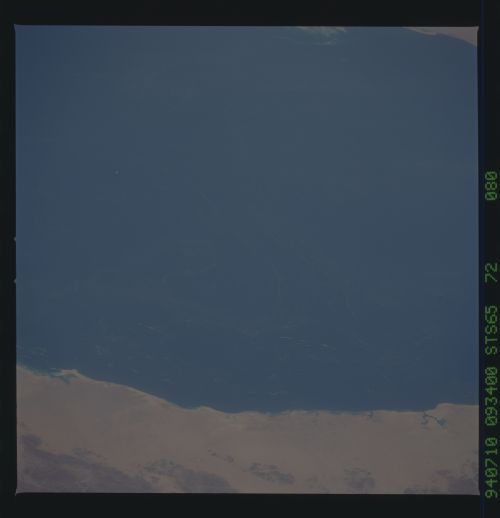
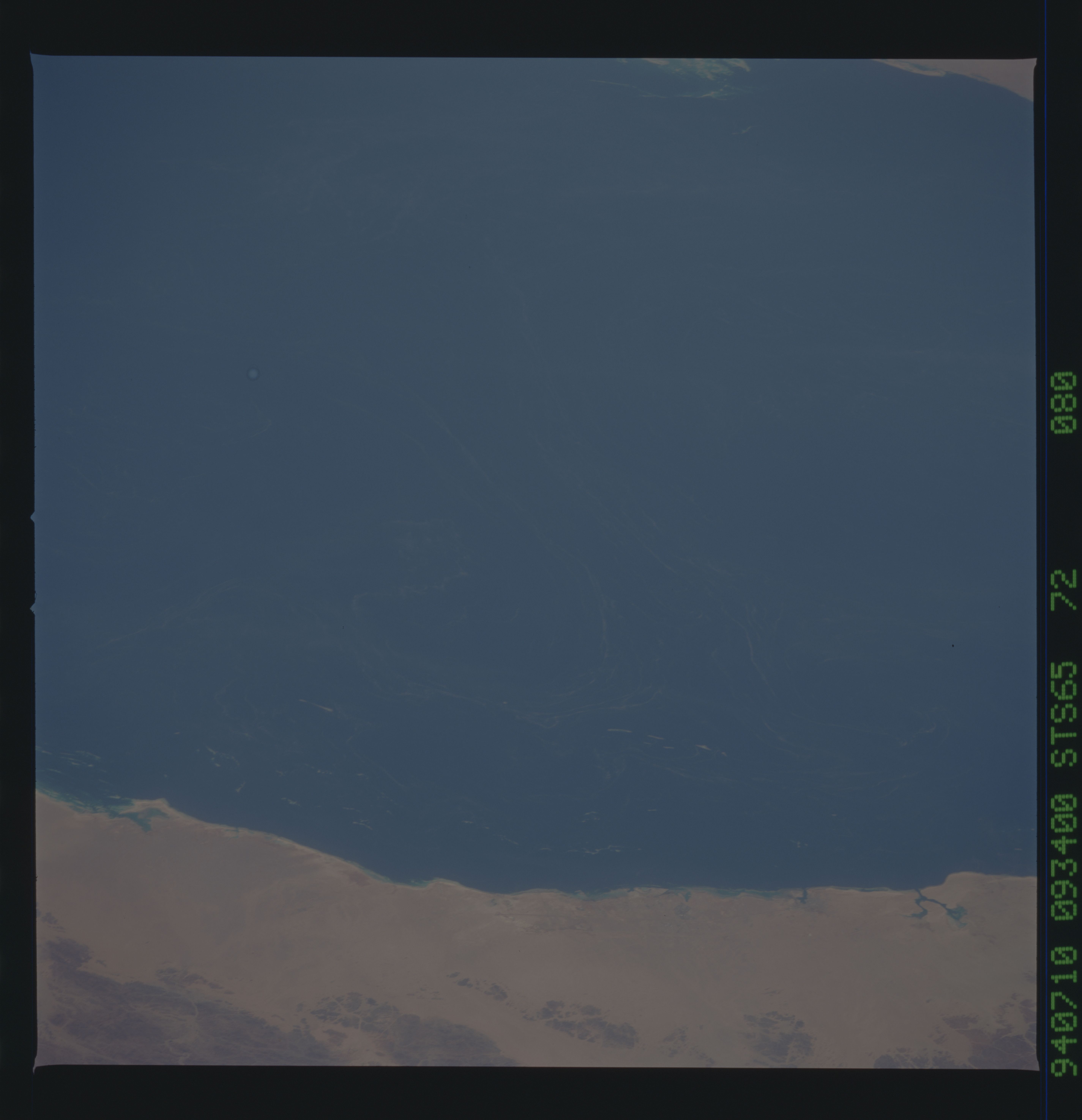
Spacecraft nadir point: 25.6° N, 42.1° E
Photo center point: 23.0° N, 38.0° E
Photo center point by machine learning:
Photo center point: 23.0° N, 38.0° E
Photo center point by machine learning:
Nadir to Photo Center: Southwest
Spacecraft Altitude: 161 nautical miles (298km)
Country or Geographic Name: | RED SEA |
Features: | CURRENTS VISIBLE, COASTS |
| Features Found Using Machine Learning: | |
Cloud Cover Percentage: | 0 (no clouds present) |
Sun Elevation Angle: | 85° |
Sun Azimuth: | 232° |
Camera: | Hasselblad |
Focal Length: | 100mm |
Camera Tilt: | Low Oblique |
Format: | 5048: Kodak, natural color positive, Lumiere 100x/5048, ASA 100x, standard base |
Film Exposure: | Normal |
| Additional Information | |
| Width | Height | Annotated | Cropped | Purpose | Links |
|---|---|---|---|---|---|
| 5700 pixels | 5900 pixels | No | No | Download Image | |
| 500 pixels | 518 pixels | No | No | Download Image | |
| 640 pixels | 480 pixels | No | No | Download Image |
Download Packaged File
Download a Google Earth KML for this Image
View photo footprint information
Download a GeoTIFF for this photo
Image Caption: STS-65 Earth observation taken aboard Columbia, Orbiter Vehicle (OV) 102, shows the west coast of Saudi Arabia with the port city of Yanbu' Al Bahr. The coast and this port city are the identifying landmarks with respect to locating the position of the striated plankton blooms in the Red Sea. This plankton bloom is accentuated by the sizable diverging eddies as the surface currents seem to be deflected by the small near-shore islands into the north and south eddies. Approximate center point for the photograph is 23.5 degrees north and 37.5 degrees east.
