STS065-100-6
| NASA Photo ID | STS065-100-6 |
| Focal Length | 250mm |
| Date taken | 1994.07.__ |
| Time taken | GMT |
Resolutions offered for this image:
3904 x 3881 pixels 639 x 636 pixels 5700 x 5900 pixels 500 x 518 pixels 640 x 480 pixels
3904 x 3881 pixels 639 x 636 pixels 5700 x 5900 pixels 500 x 518 pixels 640 x 480 pixels

Cloud masks available for this image:
Spacecraft nadir point:
Photo center point: 27.5° N, 99.5° W
Photo center point by machine learning:
Photo center point: 27.5° N, 99.5° W
Photo center point by machine learning:
Nadir to Photo Center:
Spacecraft Altitude: nautical miles (0km)
Country or Geographic Name: | USA-TEXAS |
Features: | LAREDO, RIO GRANDE |
| Features Found Using Machine Learning: | |
Cloud Cover Percentage: | 0 (no clouds present) |
Sun Elevation Angle: | ° |
Sun Azimuth: | ° |
Camera: | Hasselblad |
Focal Length: | 250mm |
Camera Tilt: | Low Oblique |
Format: | 5048: Kodak, natural color positive, Lumiere 100x/5048, ASA 100x, standard base |
Film Exposure: | Normal |
| Additional Information | |
| Width | Height | Annotated | Cropped | Purpose | Links |
|---|---|---|---|---|---|
| 3904 pixels | 3881 pixels | No | No | Earth From Space collection | Download Image |
| 639 pixels | 636 pixels | No | No | Earth From Space collection | Download Image |
| 5700 pixels | 5900 pixels | No | No | Download Image | |
| 500 pixels | 518 pixels | No | No | Download Image | |
| 640 pixels | 480 pixels | No | No | Download Image |
Download Packaged File
Download a Google Earth KML for this Image
View photo footprint information
Download a GeoTIFF for this photo
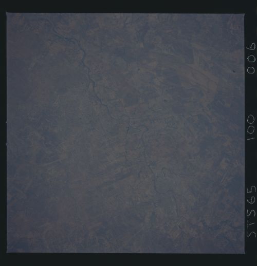
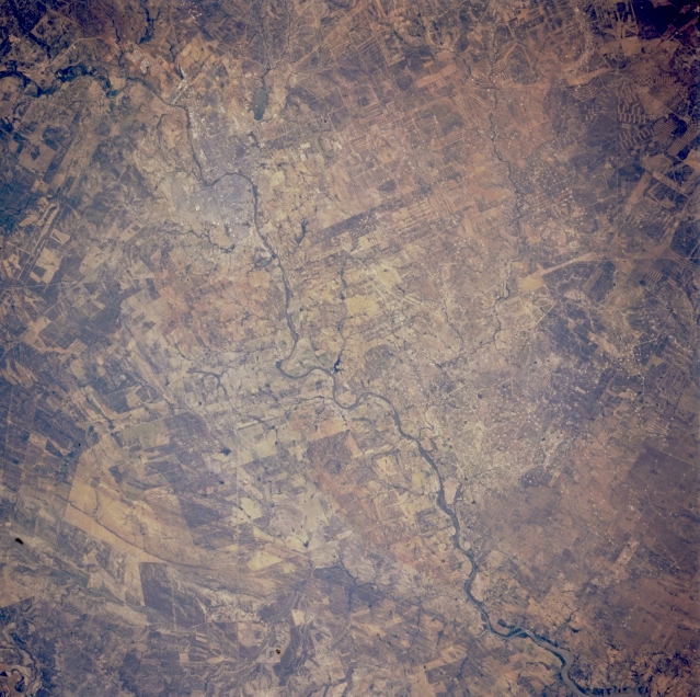
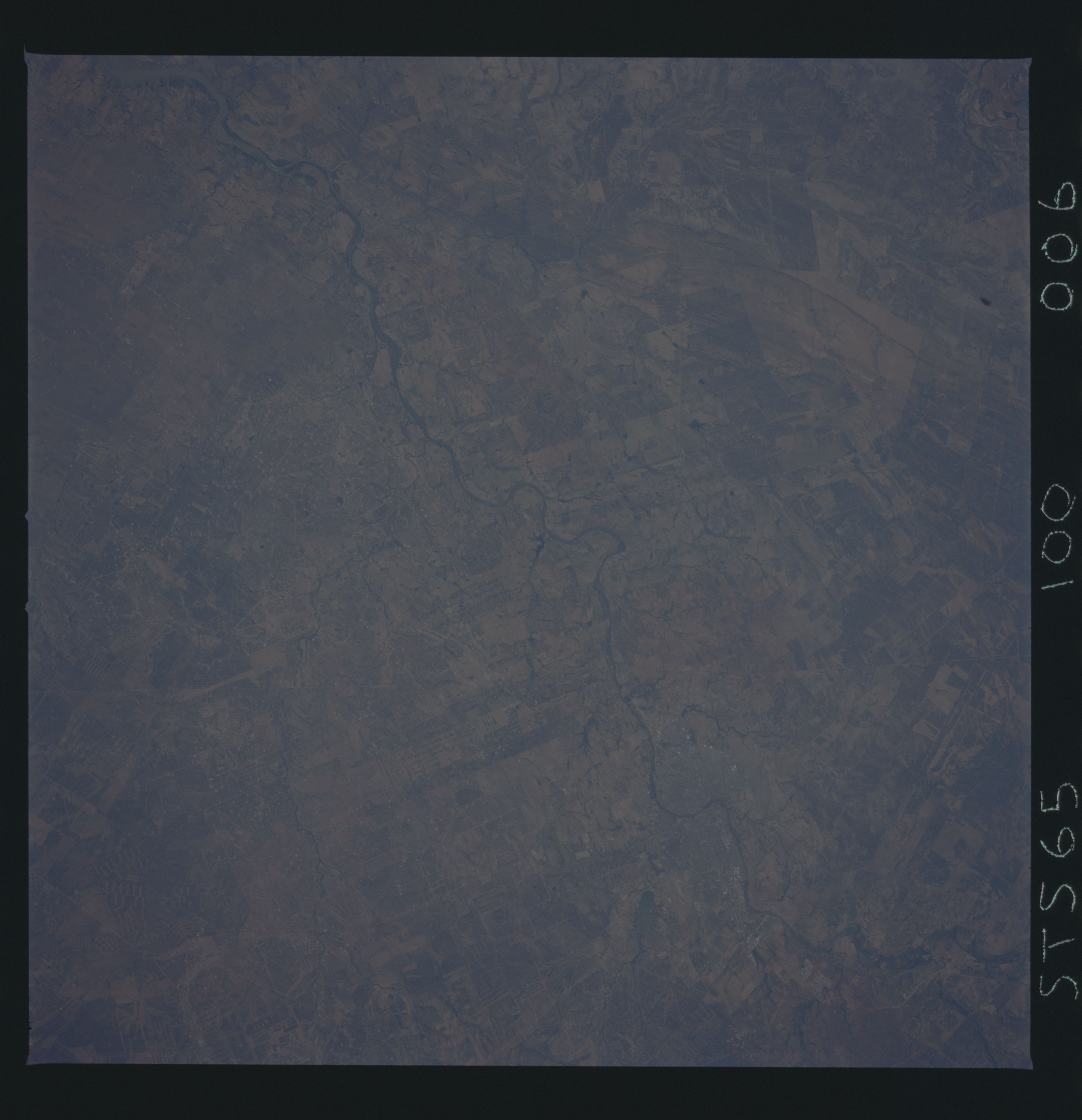
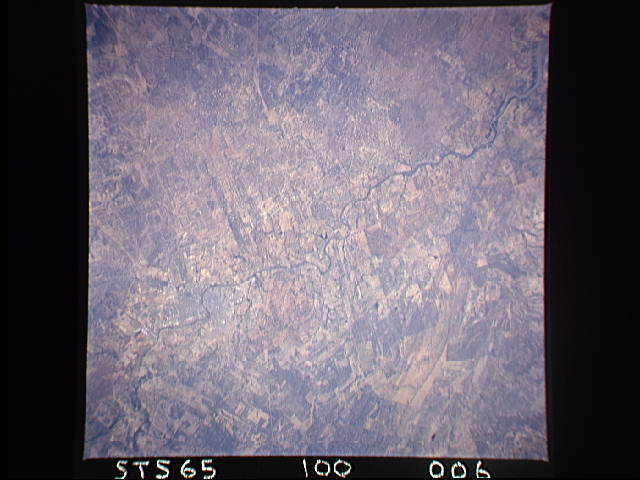
Image Caption: STS065-100-006 Rio Grande, Texas, U.S.A. and Mexico July 1994
The Rio Grande almost equally divides this semiarid landscape with the United States on the north side of the river and Mexico on the south. The outline of the border towns of Laredo (United States) and Nuevo Laredo (Mexico) are barely discernible where the river makes a sharp course change from south to east. Much of the dry region consists of sandy soils derived from underlying sandstone rocks. Land ownership boundaries provide distinctive field patterns on both sides of the U.S.-Mexico border.
The Rio Grande almost equally divides this semiarid landscape with the United States on the north side of the river and Mexico on the south. The outline of the border towns of Laredo (United States) and Nuevo Laredo (Mexico) are barely discernible where the river makes a sharp course change from south to east. Much of the dry region consists of sandy soils derived from underlying sandstone rocks. Land ownership boundaries provide distinctive field patterns on both sides of the U.S.-Mexico border.
