STS064-214-22
| NASA Photo ID | STS064-214-22 |
| Focal Length | 250mm |
| Date taken | 1994.09.17 |
| Time taken | 23:06:16 GMT |
Resolutions offered for this image:
3904 x 3904 pixels 639 x 639 pixels 5700 x 5900 pixels 500 x 518 pixels 640 x 480 pixels
3904 x 3904 pixels 639 x 639 pixels 5700 x 5900 pixels 500 x 518 pixels 640 x 480 pixels

Cloud masks available for this image:
Spacecraft nadir point: 40.4° N, 123.2° W
Photo center point: 40.0° N, 122.5° W
Photo center point by machine learning:
Photo center point: 40.0° N, 122.5° W
Photo center point by machine learning:
Nadir to Photo Center: Southeast
Spacecraft Altitude: 129 nautical miles (239km)
Country or Geographic Name: | USA-CALIFORNIA |
Features: | COAST RANGE, RIVER, CITY |
| Features Found Using Machine Learning: | |
Cloud Cover Percentage: | 5 (1-10)% |
Sun Elevation Angle: | 34° |
Sun Azimuth: | 239° |
Camera: | Hasselblad |
Focal Length: | 250mm |
Camera Tilt: | 21 degrees |
Format: | 5048: Kodak, natural color positive, Lumiere 100x/5048, ASA 100x, standard base |
Film Exposure: | Normal |
| Additional Information | |
| Width | Height | Annotated | Cropped | Purpose | Links |
|---|---|---|---|---|---|
| 3904 pixels | 3904 pixels | No | No | Earth From Space collection | Download Image |
| 639 pixels | 639 pixels | No | No | Earth From Space collection | Download Image |
| 5700 pixels | 5900 pixels | No | No | Download Image | |
| 500 pixels | 518 pixels | No | No | Download Image | |
| 640 pixels | 480 pixels | No | No | Download Image |
Download Packaged File
Download a Google Earth KML for this Image
View photo footprint information
Download a GeoTIFF for this photo
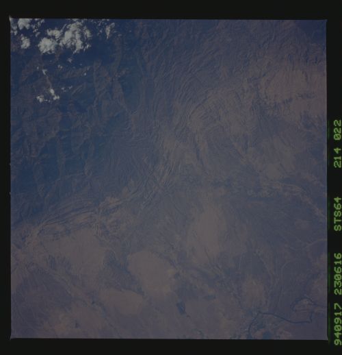
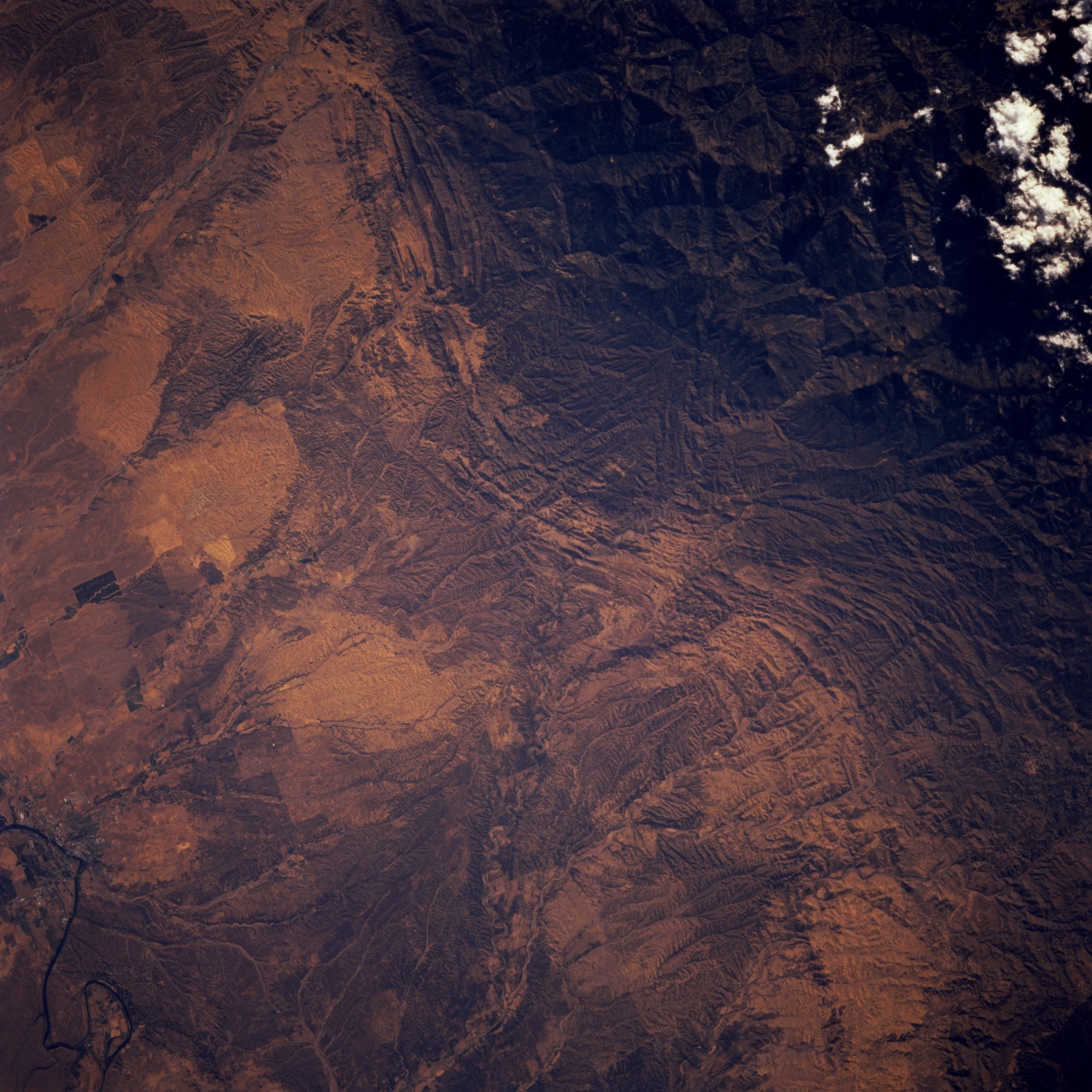
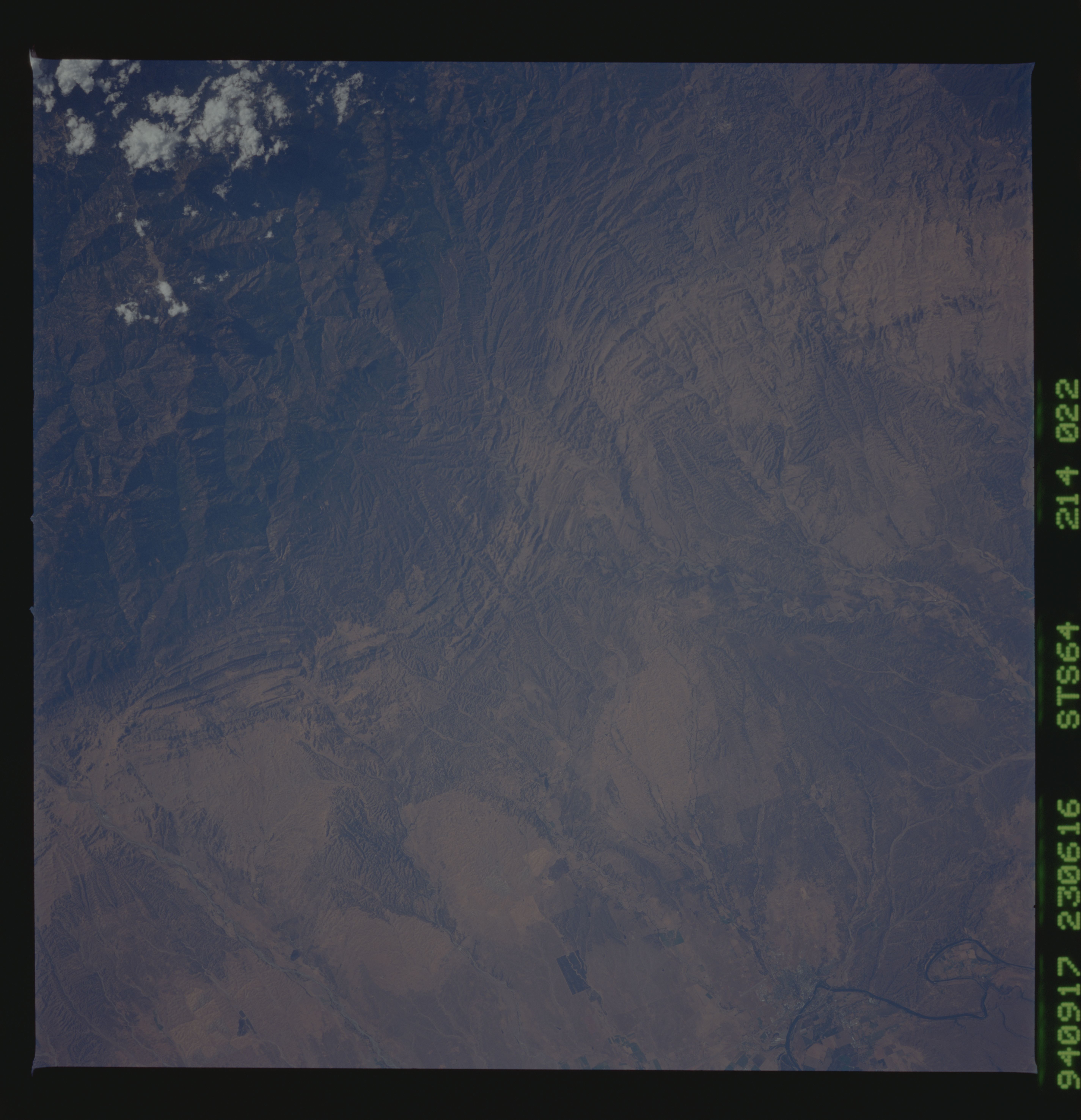
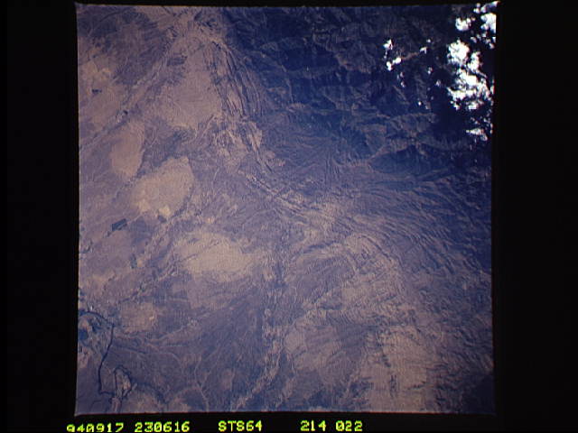
Image Caption: STS064-214-022 Coast Range Near Red Bluff, California, U.S.A. September 1994
The tree-covered slopes of the Coast Range and Mendocino National Forest are captured in this near-vertical photograph. Visible are a series of north-south-trending parallel hogback ridges and a series of alluvial fans east of the Coast Range, descending to the Sacramento River near the city of Red Bluff. Extending generally eastward is the south fork of meandering Cottonwood Creek. Thomas Creek is visible near the bottom left.
The tree-covered slopes of the Coast Range and Mendocino National Forest are captured in this near-vertical photograph. Visible are a series of north-south-trending parallel hogback ridges and a series of alluvial fans east of the Coast Range, descending to the Sacramento River near the city of Red Bluff. Extending generally eastward is the south fork of meandering Cottonwood Creek. Thomas Creek is visible near the bottom left.
