STS064-110-87
| NASA Photo ID | STS064-110-87 |
| Focal Length | 250mm |
| Date taken | 1994.09.15 |
| Time taken | 23:27:53 GMT |
Resolutions offered for this image:
3872 x 3872 pixels 639 x 639 pixels 5700 x 5900 pixels 500 x 518 pixels 640 x 480 pixels
3872 x 3872 pixels 639 x 639 pixels 5700 x 5900 pixels 500 x 518 pixels 640 x 480 pixels

Cloud masks available for this image:
Spacecraft nadir point: 37.0° N, 121.4° W
Photo center point: 37.5° N, 122.0° W
Photo center point by machine learning:
Photo center point: 37.5° N, 122.0° W
Photo center point by machine learning:
Nadir to Photo Center: Northwest
Spacecraft Altitude: 131 nautical miles (243km)
Country or Geographic Name: | USA-CALIFORNIA |
Features: | SAN FRANCISCO B, SAN JOSE |
| Features Found Using Machine Learning: | |
Cloud Cover Percentage: | 0 (no clouds present) |
Sun Elevation Angle: | 32° |
Sun Azimuth: | 247° |
Camera: | Hasselblad |
Focal Length: | 250mm |
Camera Tilt: | 20 degrees |
Format: | VELVI: Fuji, natural color positive, Velvia 50, CS 135-36, ASA 32, standard base |
Film Exposure: | Normal |
| Additional Information | |
| Width | Height | Annotated | Cropped | Purpose | Links |
|---|---|---|---|---|---|
| 3872 pixels | 3872 pixels | No | No | Earth From Space collection | Download Image |
| 639 pixels | 639 pixels | No | No | Earth From Space collection | Download Image |
| 5700 pixels | 5900 pixels | No | No | Download Image | |
| 500 pixels | 518 pixels | No | No | Download Image | |
| 640 pixels | 480 pixels | No | No | Download Image |
Download Packaged File
Download a Google Earth KML for this Image
View photo footprint information
Download a GeoTIFF for this photo
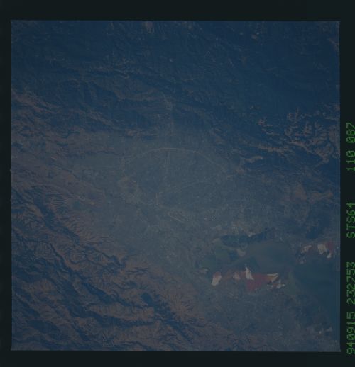
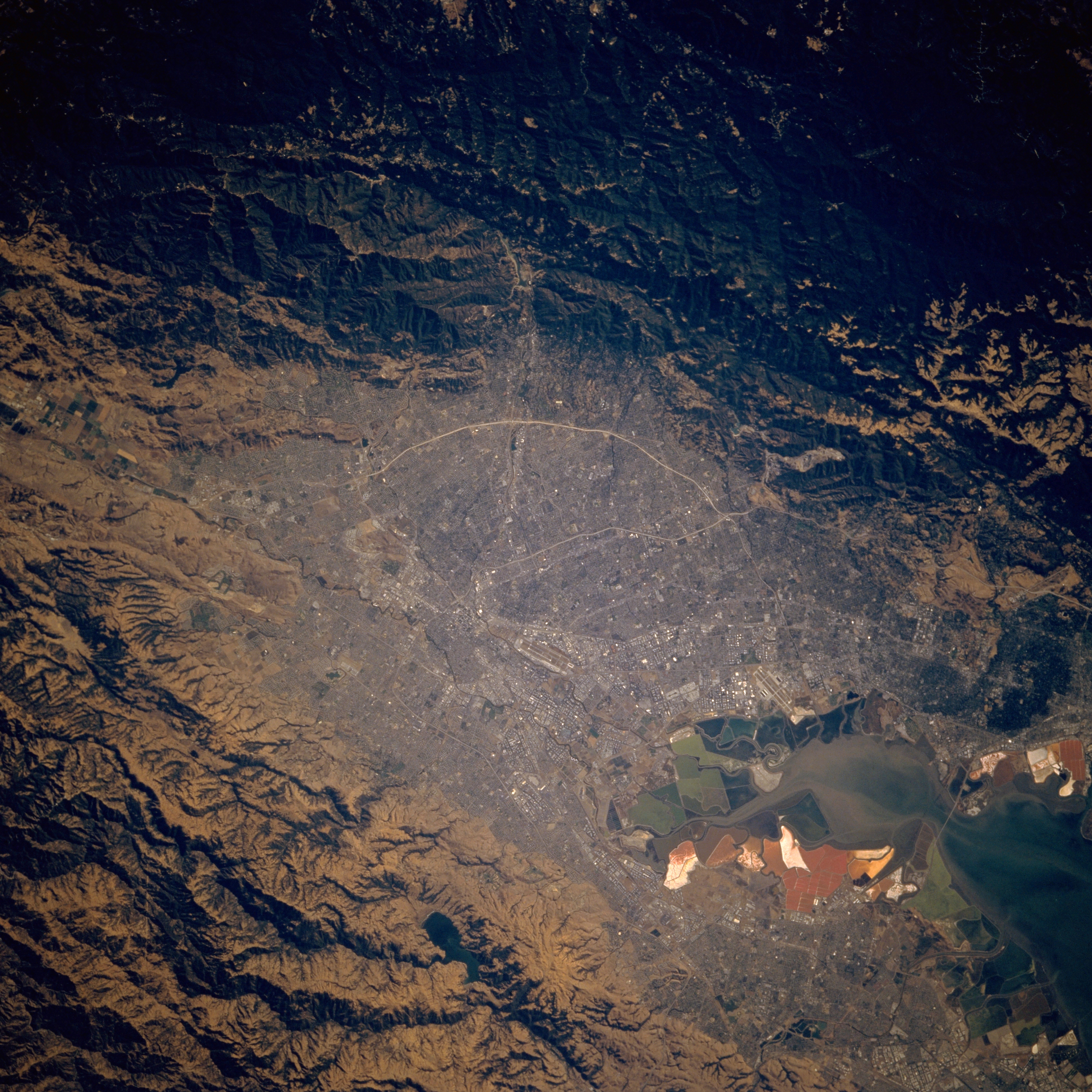
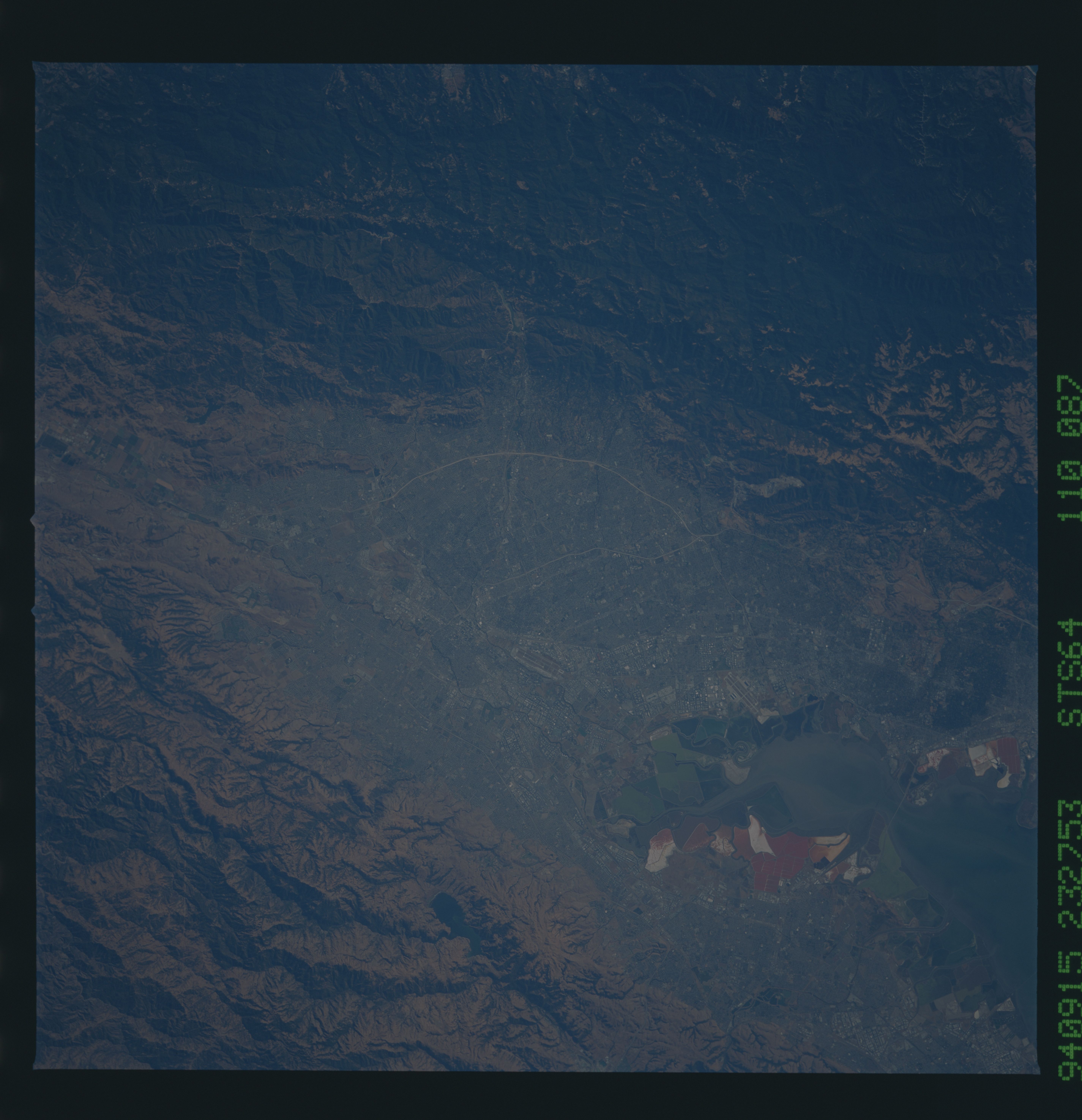
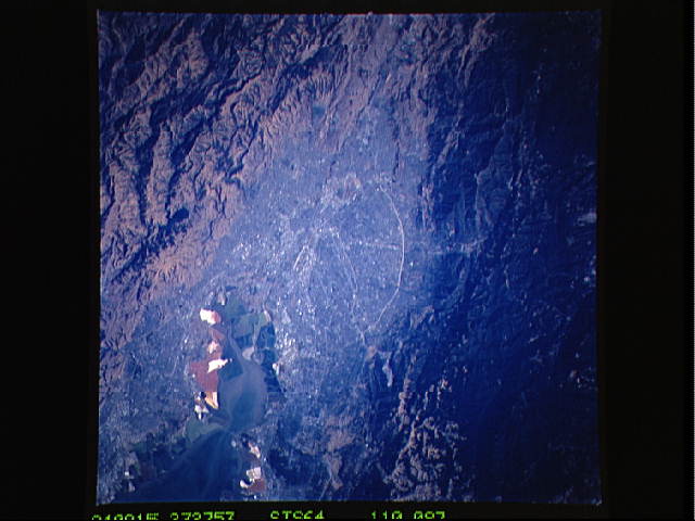
Image Caption: STS064-110-087 San Jose, California, U.S.A. September 1994
San Jose, part of the Silicon Valley at the southern end of San Francisco Bay, is captured in this photograph. Visible are some manmade features--street grid patterns, a highly reflective loop around the southwest side of the city, San Jose Municipal Airport near downtown, and the runways of Moffett Field Naval Air Station to the northwest. The large white, brown, and green features are salt ponds, with the different colors reflecting variety in saline content and algae growth. The darker Santa Cruz Mountains lie to the west.
San Jose, part of the Silicon Valley at the southern end of San Francisco Bay, is captured in this photograph. Visible are some manmade features--street grid patterns, a highly reflective loop around the southwest side of the city, San Jose Municipal Airport near downtown, and the runways of Moffett Field Naval Air Station to the northwest. The large white, brown, and green features are salt ponds, with the different colors reflecting variety in saline content and algae growth. The darker Santa Cruz Mountains lie to the west.
