STS063-717-23
| NASA Photo ID | STS063-717-23 |
| Focal Length | 250mm |
| Date taken | 1995.02.__ |
| Time taken | GMT |
Cloud masks available for this image:
Spacecraft nadir point:
Photo center point: 15.5° N, 32.5° E
Photo center point by machine learning:
Photo center point: 15.5° N, 32.5° E
Photo center point by machine learning:
Nadir to Photo Center:
Spacecraft Altitude: nautical miles (0km)
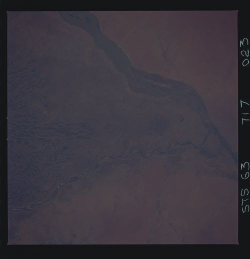
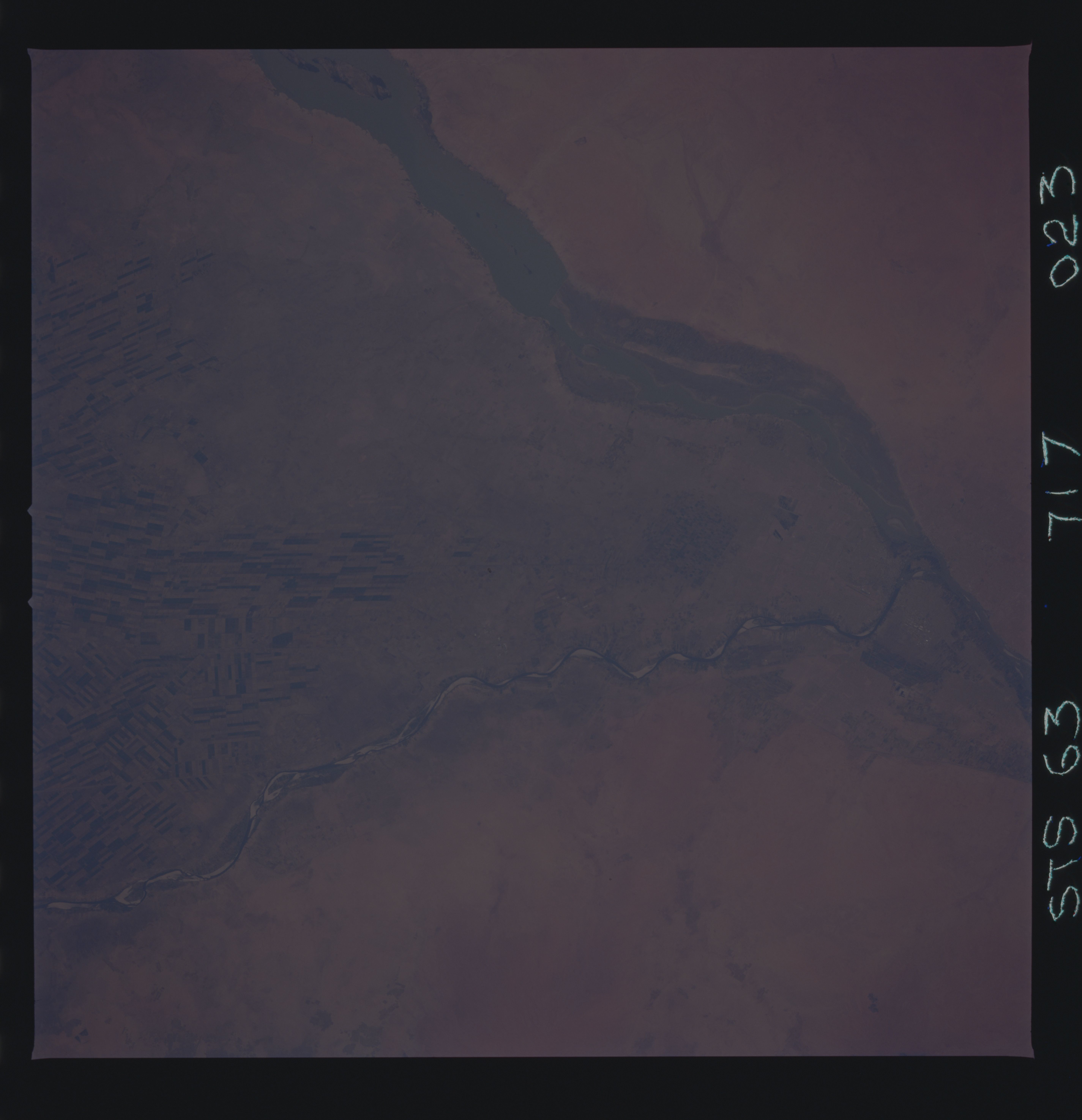
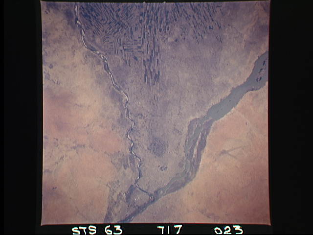
Country or Geographic Name: | SUDAN |
Features: | WHITE & BLUE NILE, AGR. |
| Features Found Using Machine Learning: | |
Cloud Cover Percentage: | 0 (no clouds present) |
Sun Elevation Angle: | ° |
Sun Azimuth: | ° |
Camera: | Hasselblad |
Focal Length: | 250mm |
Camera Tilt: | Low Oblique |
Format: | 5046: Kodak, natural color positive, Lumiere 100/5046, ASA 100, standard base |
Film Exposure: | Normal |
| Additional Information | |
| Width | Height | Annotated | Cropped | Purpose | Links |
|---|---|---|---|---|---|
| 5700 pixels | 5900 pixels | No | No | Download Image | |
| 500 pixels | 518 pixels | No | No | Download Image | |
| 640 pixels | 480 pixels | No | No | Download Image |
Download Packaged File
Download a Google Earth KML for this Image
View photo footprint information
Download a GeoTIFF for this photo
Image Caption: This vertical view shows the smaller Blue Nile merging with the While Nile. Khartoum, the capital city of Sudan, lies at the confluence (on both sides of the Nile). Water from the two rivers allow vast areas in between to be irrigated. The checker-board pattern along the top of the frame is just a small part of the El Gezira cotton-growing project, one of the largest in the world.
