STS062-98-62
| NASA Photo ID | STS062-98-62 |
| Focal Length | 100mm |
| Date taken | 1994.03.06 |
| Time taken | 14:13:01 GMT |
Resolutions offered for this image:
3904 x 3904 pixels 639 x 639 pixels 5700 x 5900 pixels 500 x 518 pixels 640 x 480 pixels
3904 x 3904 pixels 639 x 639 pixels 5700 x 5900 pixels 500 x 518 pixels 640 x 480 pixels

Cloud masks available for this image:
Spacecraft nadir point: 32.5° N, 90.3° W
Photo center point: 32.5° N, 90.0° W
Photo center point by machine learning:
Photo center point: 32.5° N, 90.0° W
Photo center point by machine learning:
Nadir to Photo Center: East
Spacecraft Altitude: 161 nautical miles (298km)
Country or Geographic Name: | USA-MISSISSIPPI |
Features: | JACKSON, ROSS BENNETT RES |
| Features Found Using Machine Learning: | |
Cloud Cover Percentage: | 5 (1-10)% |
Sun Elevation Angle: | 22° |
Sun Azimuth: | 112° |
Camera: | Hasselblad |
Focal Length: | 100mm |
Camera Tilt: | 6 degrees |
Format: | 5048: Kodak, natural color positive, Lumiere 100x/5048, ASA 100x, standard base |
Film Exposure: | Normal |
| Additional Information | |
| Width | Height | Annotated | Cropped | Purpose | Links |
|---|---|---|---|---|---|
| 3904 pixels | 3904 pixels | No | No | Earth From Space collection | Download Image |
| 639 pixels | 639 pixels | No | No | Earth From Space collection | Download Image |
| 5700 pixels | 5900 pixels | No | No | Download Image | |
| 500 pixels | 518 pixels | No | No | Download Image | |
| 640 pixels | 480 pixels | No | No | Download Image |
Download Packaged File
Download a Google Earth KML for this Image
View photo footprint information
Download a GeoTIFF for this photo
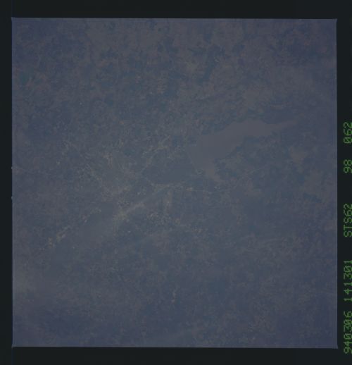
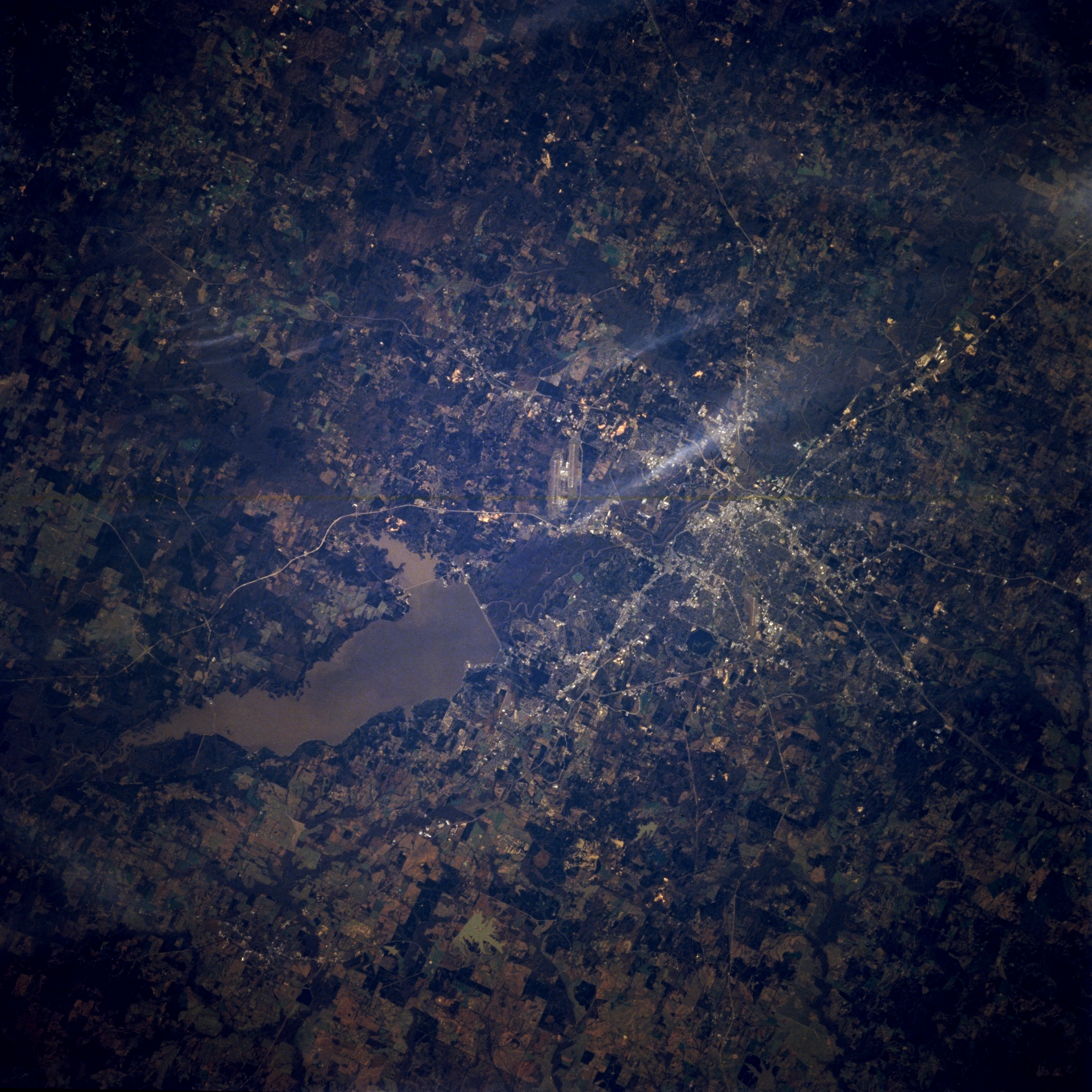
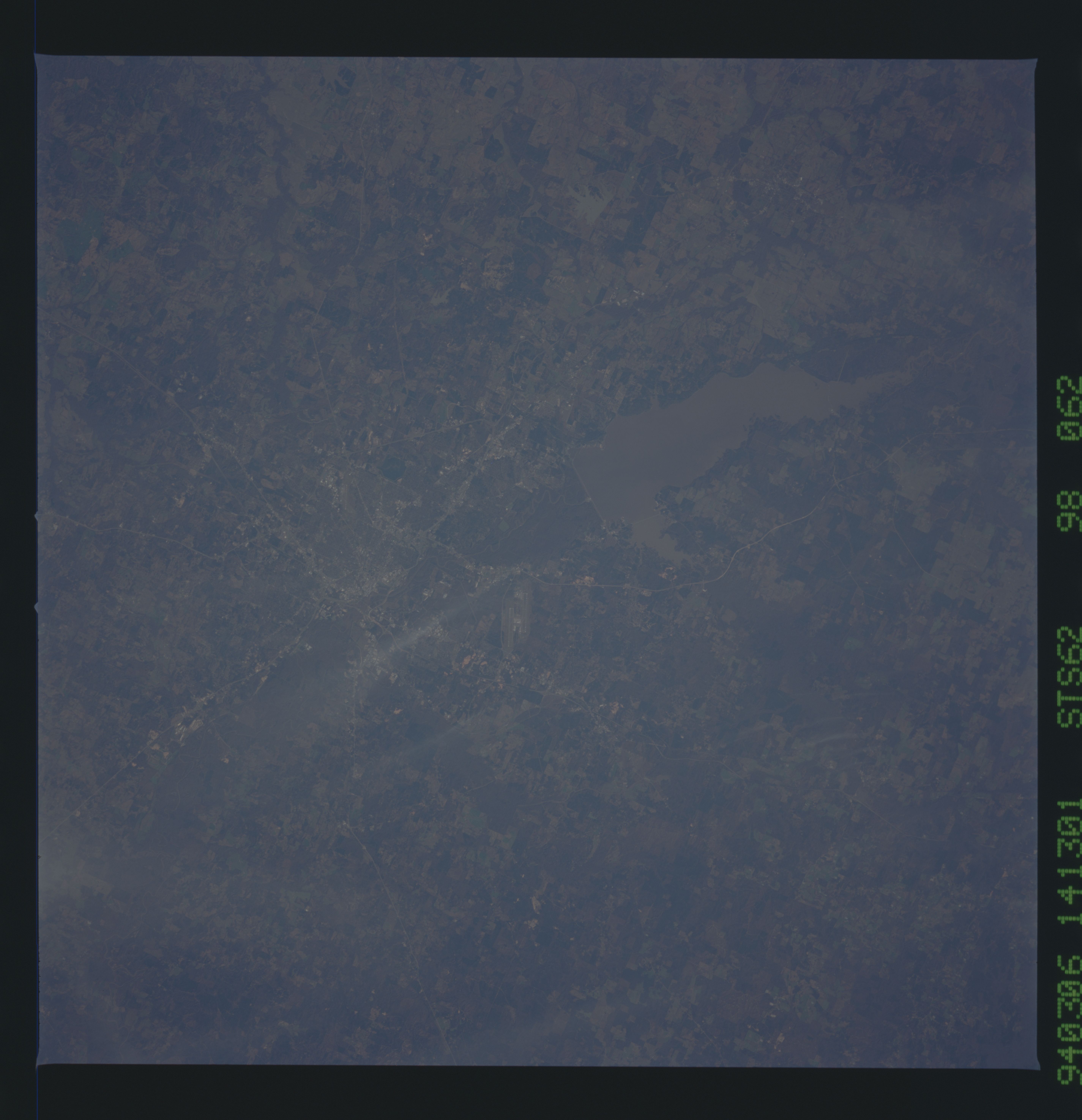
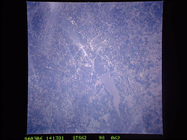
Image Caption: STS062-098-062 Jackson, Mississippi, U.S.A. March 1994
This southeast-looking photograph features Jackson, the capital of Mississippi, southeast of which is the intersection of east-west-oriented Interstate Highway 20 and north-south-oriented Interstate Highway 55. The Pearl River and its broad floodplain extend generally northeast-southwest on the eastern edge of the city. Sediment-laden Ross Barnett Reservoir, created by damming the Pearl River, is apparent to the northeast. The darker, mottled areas are forests, and the lighter areas are cultivated fields and pastures. The dual runways of Thompson Field are barely visible east of the city.
This southeast-looking photograph features Jackson, the capital of Mississippi, southeast of which is the intersection of east-west-oriented Interstate Highway 20 and north-south-oriented Interstate Highway 55. The Pearl River and its broad floodplain extend generally northeast-southwest on the eastern edge of the city. Sediment-laden Ross Barnett Reservoir, created by damming the Pearl River, is apparent to the northeast. The darker, mottled areas are forests, and the lighter areas are cultivated fields and pastures. The dual runways of Thompson Field are barely visible east of the city.
