STS062-92-85

| NASA Photo ID | STS062-92-85 |
| Focal Length | 250mm |
| Date taken | 1994.03.16 |
| Time taken | 06:36:20 GMT |
Cloud masks available for this image:
Spacecraft nadir point: 35.9° S, 141.4° E
Photo center point: 36.0° S, 141.0° E
Photo center point by machine learning:
Photo center point: 36.0° S, 141.0° E
Photo center point by machine learning:
Nadir to Photo Center: West
Spacecraft Altitude: 140 nautical miles (259km)
Country or Geographic Name: | AUSTRALIA-V |
Features: | BURN SCARS, SAND RIDGES |
| Features Found Using Machine Learning: | |
Cloud Cover Percentage: | 0 (no clouds present) |
Sun Elevation Angle: | 26° |
Sun Azimuth: | 288° |
Camera: | Hasselblad |
Focal Length: | 250mm |
Camera Tilt: | 10 degrees |
Format: | 5046: Kodak, natural color positive, Lumiere 100/5046, ASA 100, standard base |
Film Exposure: | Normal |
| Additional Information | |
| Width | Height | Annotated | Cropped | Purpose | Links |
|---|---|---|---|---|---|
| 5700 pixels | 5900 pixels | No | No | Download Image | |
| 500 pixels | 518 pixels | No | No | Download Image | |
| 640 pixels | 480 pixels | No | No | Download Image |
Download Packaged File
Download a Google Earth KML for this Image
View photo footprint information
Download a GeoTIFF for this photo
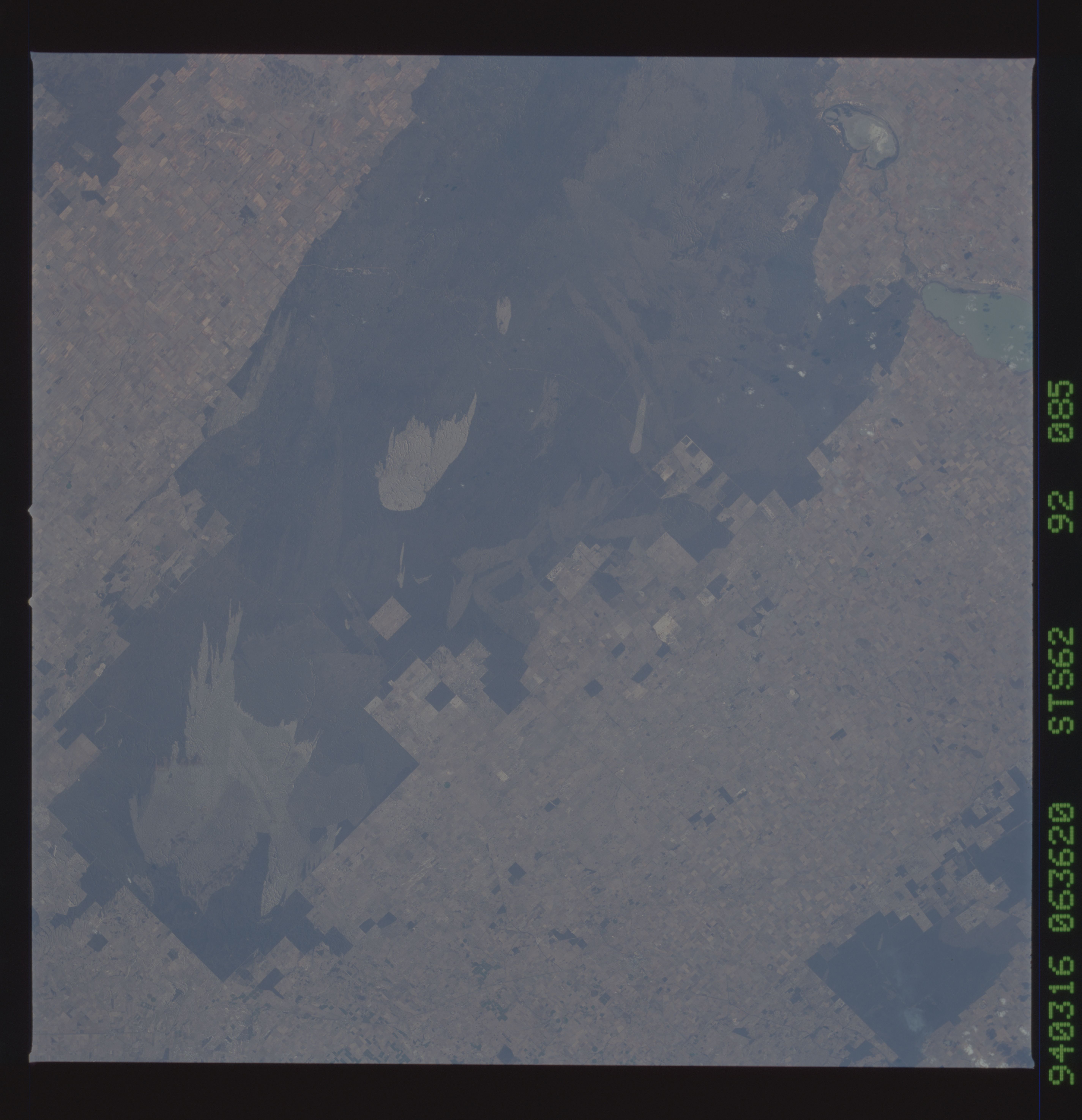
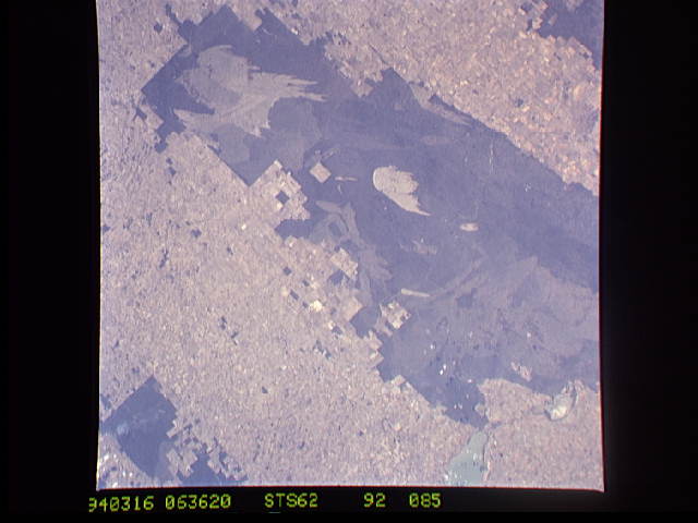
Image Caption: Burn Scars and Sand Ridges in Australia
Documenting the extent of influence and how the effects
change with time of dynamic phenomena such as fire is a use
for Shuttle photography. There is about 200,000 photos which
cover about a 30 year span in the Space Shuttle Earth
Observation Database. About 600 sites have been routinely
photographed to document changes over time. Here are burn
scars and sand ridges (the burn scars reveal the sand ridges
in the lightened areas) near Wyperfeld National Park in the
Big Desert west southwest of Adelaide, Australia. This is
one of the refuges where koala bears live.
We can watch to see how these areas recover.
(Another good example of time monitoring in Lake Chad in the
environmental change brief, AS17-18-22727 and S31-151-039)
