STS062-90-50

| NASA Photo ID | STS062-90-50 |
| Focal Length | 250mm |
| Date taken | 1994.03.07 |
| Time taken | 09:59:27 GMT |
Resolutions offered for this image:
4078 x 4078 pixels 639 x 639 pixels 5700 x 5900 pixels 500 x 518 pixels 640 x 480 pixels
4078 x 4078 pixels 639 x 639 pixels 5700 x 5900 pixels 500 x 518 pixels 640 x 480 pixels

Cloud masks available for this image:
Spacecraft nadir point: 38.1° N, 21.3° E
Photo center point: 38.5° N, 21.5° E
Photo center point by machine learning:
Photo center point: 38.5° N, 21.5° E
Photo center point by machine learning:
Nadir to Photo Center: North
Spacecraft Altitude: 161 nautical miles (298km)
Country or Geographic Name: | GREECE |
Features: | PATRAI AREA |
| Features Found Using Machine Learning: | |
Cloud Cover Percentage: | 0 (no clouds present) |
Sun Elevation Angle: | 45° |
Sun Azimuth: | 163° |
Camera: | Hasselblad |
Focal Length: | 250mm |
Camera Tilt: | 9 degrees |
Format: | 5046: Kodak, natural color positive, Lumiere 100/5046, ASA 100, standard base |
Film Exposure: | Normal |
| Additional Information | |
| Width | Height | Annotated | Cropped | Purpose | Links |
|---|---|---|---|---|---|
| 4078 pixels | 4078 pixels | No | No | Earth From Space collection | Download Image |
| 639 pixels | 639 pixels | No | No | Earth From Space collection | Download Image |
| 5700 pixels | 5900 pixels | No | No | Download Image | |
| 500 pixels | 518 pixels | No | No | Download Image | |
| 640 pixels | 480 pixels | No | No | Download Image |
Download Packaged File
Download a Google Earth KML for this Image
View photo footprint information
Download a GeoTIFF for this photo
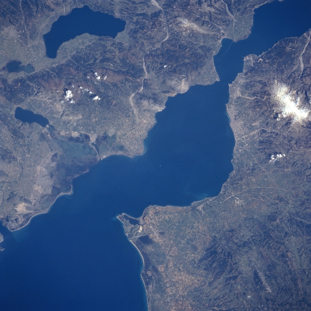
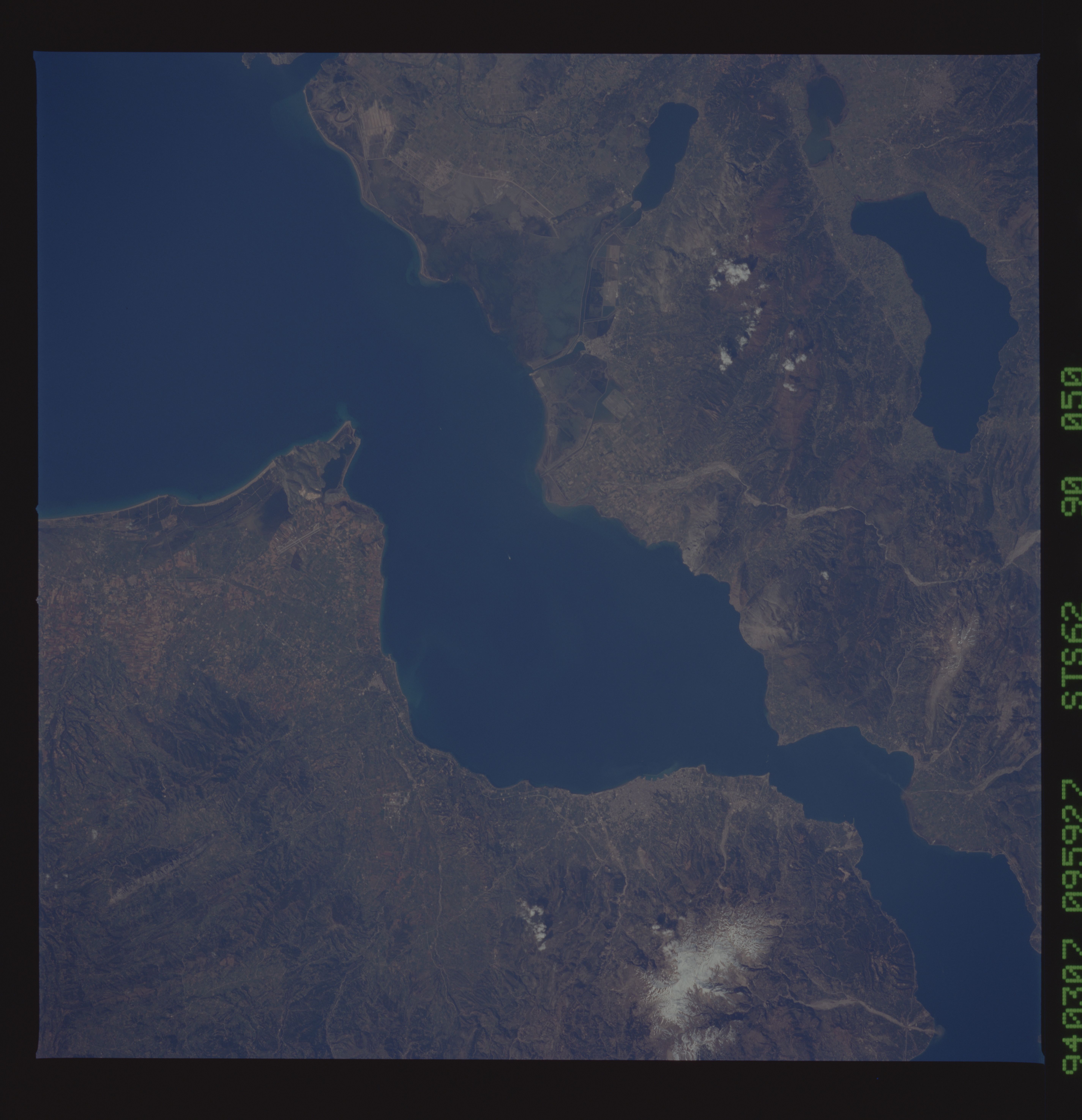
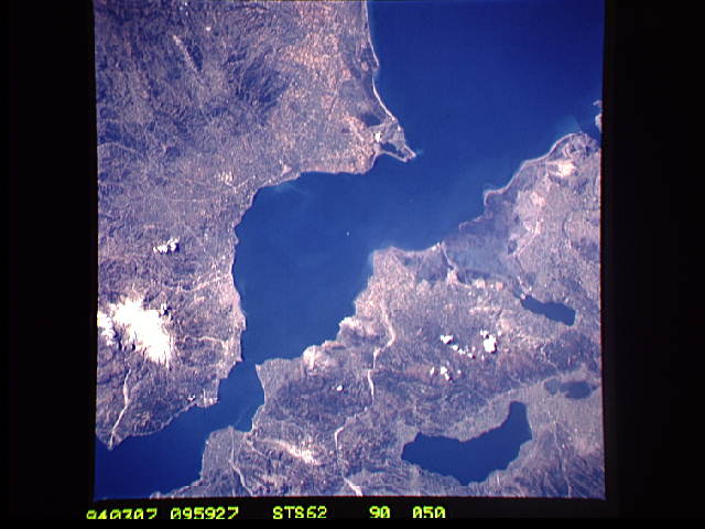
Image Caption: STS062-090-050 Gulf of Patras, Greece March, 1994
The northeast-looking view shows the Gulf of Patras that connects the Gulf of Corinth through the Lepanto Strait to the east (upper right) with the Ionian Sea to the west (not visible on image). The snow-covered Panakhaikon Mountains of the northern Peloponnesus are visible midway between the upper right and right center of the image. Just left of the Panakhaikon is the port city of Patras. The city is the major commercial, industrial, and transportation center of the northwestern Peloponnesus. Near the upper left of the image is Lake Trinkhonis, a large recreation lake. To the lake's south are the Arakhintos Mountains. Near the center left of the image is a section of the Akhelops River Delta.
The northeast-looking view shows the Gulf of Patras that connects the Gulf of Corinth through the Lepanto Strait to the east (upper right) with the Ionian Sea to the west (not visible on image). The snow-covered Panakhaikon Mountains of the northern Peloponnesus are visible midway between the upper right and right center of the image. Just left of the Panakhaikon is the port city of Patras. The city is the major commercial, industrial, and transportation center of the northwestern Peloponnesus. Near the upper left of the image is Lake Trinkhonis, a large recreation lake. To the lake's south are the Arakhintos Mountains. Near the center left of the image is a section of the Akhelops River Delta.
