STS062-85-8
| NASA Photo ID | STS062-85-8 |
| Focal Length | 250mm |
| Date taken | 1994.03.07 |
| Time taken | 17:34:14 GMT |
Resolutions offered for this image:
3904 x 3904 pixels 639 x 639 pixels 5700 x 5900 pixels 500 x 518 pixels 640 x 480 pixels
3904 x 3904 pixels 639 x 639 pixels 5700 x 5900 pixels 500 x 518 pixels 640 x 480 pixels
Cloud masks available for this image:
Spacecraft nadir point: 35.5° N, 81.5° W
Photo center point: 35.0° N, 81.0° W
Photo center point by machine learning:
Photo center point: 35.0° N, 81.0° W
Photo center point by machine learning:
Nadir to Photo Center: Southeast
Spacecraft Altitude: 161 nautical miles (298km)
Country or Geographic Name: | USA-NORTH CAROLINA |
Features: | CHARLOTTE, CATAWABA R, AGR |
| Features Found Using Machine Learning: | |
Cloud Cover Percentage: | 0 (no clouds present) |
Sun Elevation Angle: | 50° |
Sun Azimuth: | 179° |
Camera: | Hasselblad |
Focal Length: | 250mm |
Camera Tilt: | 15 degrees |
Format: | 5046: Kodak, natural color positive, Lumiere 100/5046, ASA 100, standard base |
Film Exposure: | Normal |
| Additional Information | |
| Width | Height | Annotated | Cropped | Purpose | Links |
|---|---|---|---|---|---|
| 3904 pixels | 3904 pixels | No | No | Earth From Space collection | Download Image |
| 639 pixels | 639 pixels | No | No | Earth From Space collection | Download Image |
| 5700 pixels | 5900 pixels | No | No | Download Image | |
| 500 pixels | 518 pixels | No | No | Download Image | |
| 640 pixels | 480 pixels | No | No | Download Image |
Download Packaged File
Download a Google Earth KML for this Image
View photo footprint information
Download a GeoTIFF for this photo
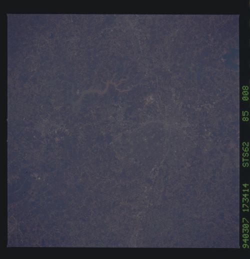
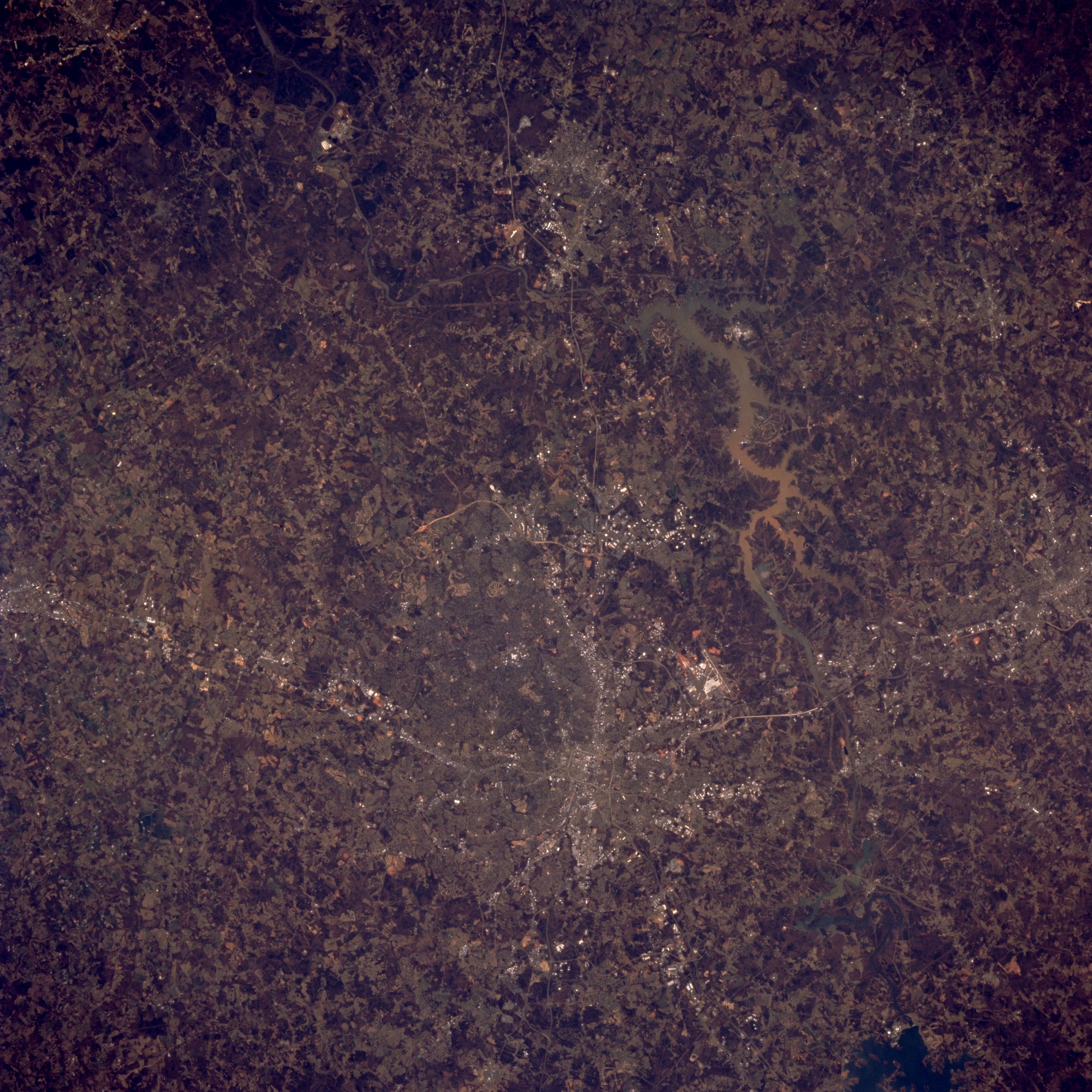
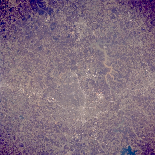
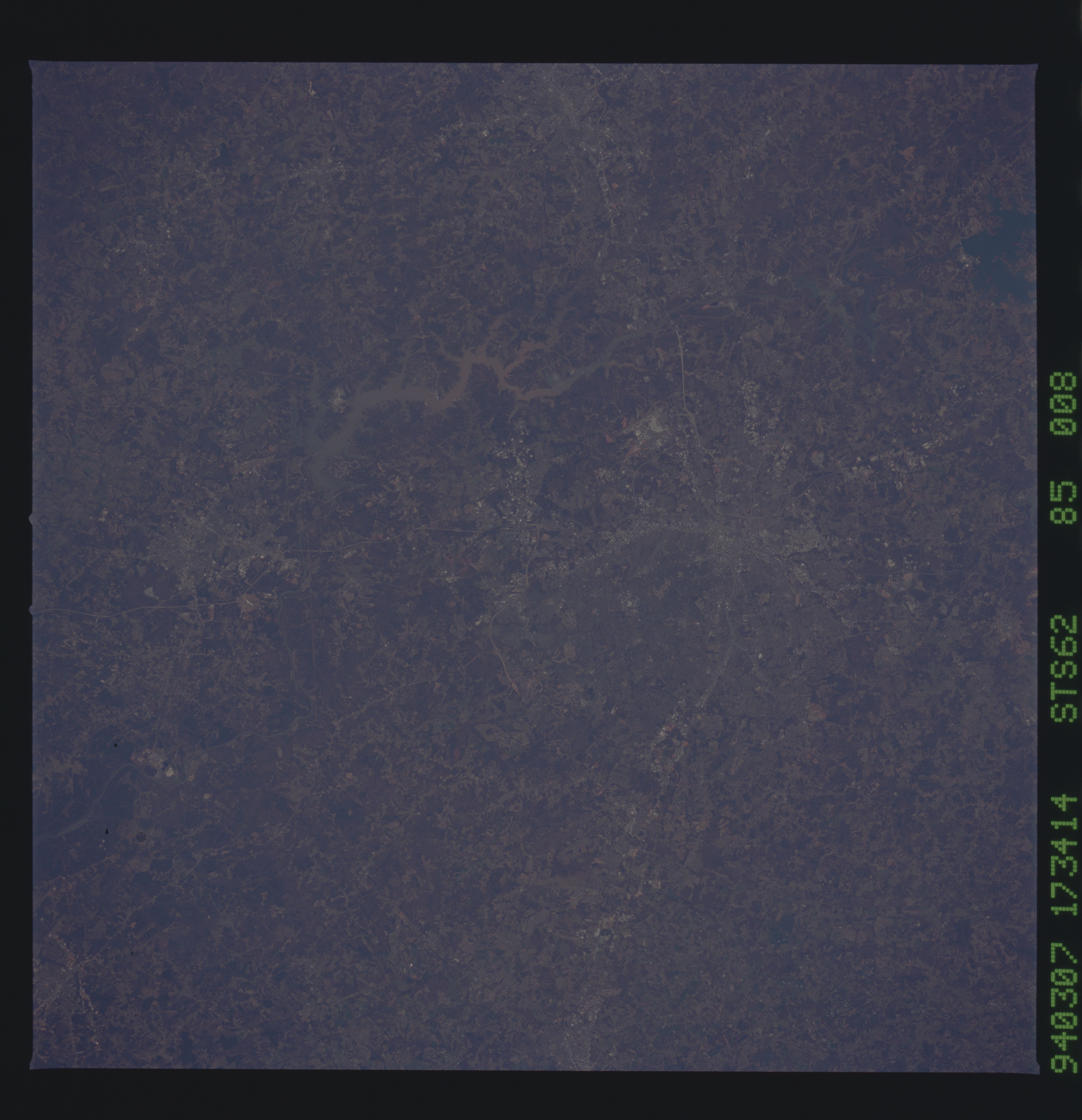
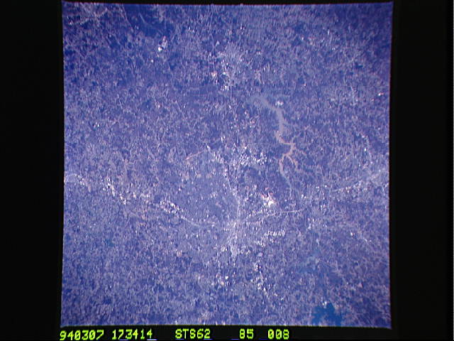
Image Caption: STS062-085-008 Charlotte Area, North Carolina, U.S.A. March 1994
The downtown core, or central business district, of Charlotte can be identified as the concentrated, highly reflective area where several highways converge (slightly below center). Sections of Interstate Highways 85 and 77, shown as thin, light colored lines, are visible as they radiate outward from the downtown core in northeast-southwest and north-south directions, respectively. Charlotte-Douglas International Airport can be identified as the highly reflective feature, located about 5 miles (8 km) west of downtown Charlotte. The serpentine shaped lake southwest of Charlotte is muddy looking Wylie Lake. This lake was created by damming the Catawba River. The southern end of Lake Norman, another reservoir on the Catawba River, is visible in the lower right corner of the picture. The cities of Gastonia (North Carolina), west of Charlotte, and Rock Hill (South Carolina) south of Charlotte can also be identified.
The downtown core, or central business district, of Charlotte can be identified as the concentrated, highly reflective area where several highways converge (slightly below center). Sections of Interstate Highways 85 and 77, shown as thin, light colored lines, are visible as they radiate outward from the downtown core in northeast-southwest and north-south directions, respectively. Charlotte-Douglas International Airport can be identified as the highly reflective feature, located about 5 miles (8 km) west of downtown Charlotte. The serpentine shaped lake southwest of Charlotte is muddy looking Wylie Lake. This lake was created by damming the Catawba River. The southern end of Lake Norman, another reservoir on the Catawba River, is visible in the lower right corner of the picture. The cities of Gastonia (North Carolina), west of Charlotte, and Rock Hill (South Carolina) south of Charlotte can also be identified.
