STS062-85-21
| NASA Photo ID | STS062-85-21 |
| Focal Length | 250mm |
| Date taken | 1994.03.07 |
| Time taken | 19:08:25 GMT |
Resolutions offered for this image:
5700 x 5900 pixels 500 x 518 pixels 640 x 480 pixels 443 x 440 pixels
5700 x 5900 pixels 500 x 518 pixels 640 x 480 pixels 443 x 440 pixels

Cloud masks available for this image:
Spacecraft nadir point: 29.7° N, 89.0° W
Photo center point: 29.0° N, 89.0° W
Photo center point by machine learning:
Photo center point: 29.0° N, 89.0° W
Photo center point by machine learning:
Nadir to Photo Center: South
Spacecraft Altitude: 162 nautical miles (300km)
Country or Geographic Name: | USA-LOUISIANA |
Features: | MOUTH OF MISSISSIPPI R. |
| Features Found Using Machine Learning: | |
Cloud Cover Percentage: | 0 (no clouds present) |
Sun Elevation Angle: | 52° |
Sun Azimuth: | 205° |
Camera: | Hasselblad |
Focal Length: | 250mm |
Camera Tilt: | 15 degrees |
Format: | 5046: Kodak, natural color positive, Lumiere 100/5046, ASA 100, standard base |
Film Exposure: | Normal |
| Additional Information | |
| Width | Height | Annotated | Cropped | Purpose | Links |
|---|---|---|---|---|---|
| 5700 pixels | 5900 pixels | No | No | Download Image | |
| 500 pixels | 518 pixels | No | No | Download Image | |
| 640 pixels | 480 pixels | No | No | Download Image | |
| 443 pixels | 440 pixels | Download Image |
Download Packaged File
Download a Google Earth KML for this Image
View photo footprint information
Download a GeoTIFF for this photo
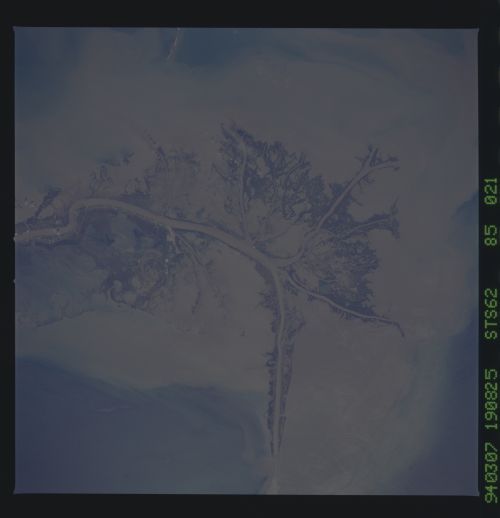
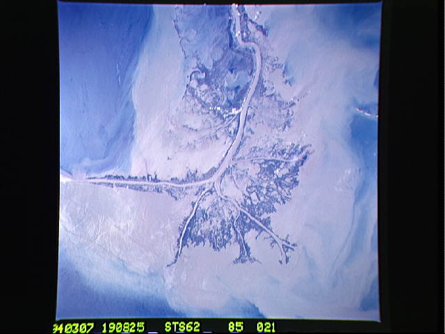
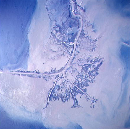
Image Caption: STS062-85-21 Birdfoot Delta
A detailed view of the Mississippi Delta showing all the
distributaries (fingers of the delta). The white spots are
developments related to the oil industry. The round feature at 1 is
the outline of a salt dome. The muddy water empties into the Gulf, and
sunglint (2) highlights the surface features associated with the
fresh, muddy water mixing with the sea water. T272
The Mississippi River Delta, Louisiana as seen from STS-62, is the largest river system in North America. The interdistributary bays are extremely shallow, usually less than a few meters, and contain brackish to normal marine waters except during times of flooding, when fresh water fills the bays. Sedimentation within the bays is very low, occurring only during flood periods. Along the west side of the river, a highway has been built southeastward to Venice.
