STS062-83-63
| NASA Photo ID | STS062-83-63 |
| Focal Length | 250mm |
| Date taken | 1994.03.05 |
| Time taken | 18:51:46 GMT |
Resolutions offered for this image:
3904 x 3904 pixels 639 x 639 pixels 5700 x 5900 pixels 500 x 518 pixels 640 x 480 pixels
3904 x 3904 pixels 639 x 639 pixels 5700 x 5900 pixels 500 x 518 pixels 640 x 480 pixels
Cloud masks available for this image:
Spacecraft nadir point: 35.2° N, 85.1° W
Photo center point: 34.0° N, 85.0° W
Photo center point by machine learning:
Photo center point: 34.0° N, 85.0° W
Photo center point by machine learning:
Nadir to Photo Center: South
Spacecraft Altitude: 162 nautical miles (300km)
Country or Geographic Name: | USA-GEORGIA |
Features: | CALHOUN & DALTON, MTS, R. |
| Features Found Using Machine Learning: | |
Cloud Cover Percentage: | 0 (no clouds present) |
Sun Elevation Angle: | 47° |
Sun Azimuth: | 202° |
Camera: | Hasselblad |
Focal Length: | 250mm |
Camera Tilt: | 24 degrees |
Format: | 5046: Kodak, natural color positive, Lumiere 100/5046, ASA 100, standard base |
Film Exposure: | Normal |
| Additional Information | |
| Width | Height | Annotated | Cropped | Purpose | Links |
|---|---|---|---|---|---|
| 3904 pixels | 3904 pixels | No | No | Earth From Space collection | Download Image |
| 639 pixels | 639 pixels | No | No | Earth From Space collection | Download Image |
| 5700 pixels | 5900 pixels | No | No | Download Image | |
| 500 pixels | 518 pixels | No | No | Download Image | |
| 640 pixels | 480 pixels | No | No | Download Image |
Download Packaged File
Download a Google Earth KML for this Image
View photo footprint information
Download a GeoTIFF for this photo
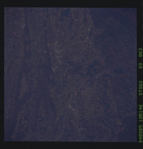
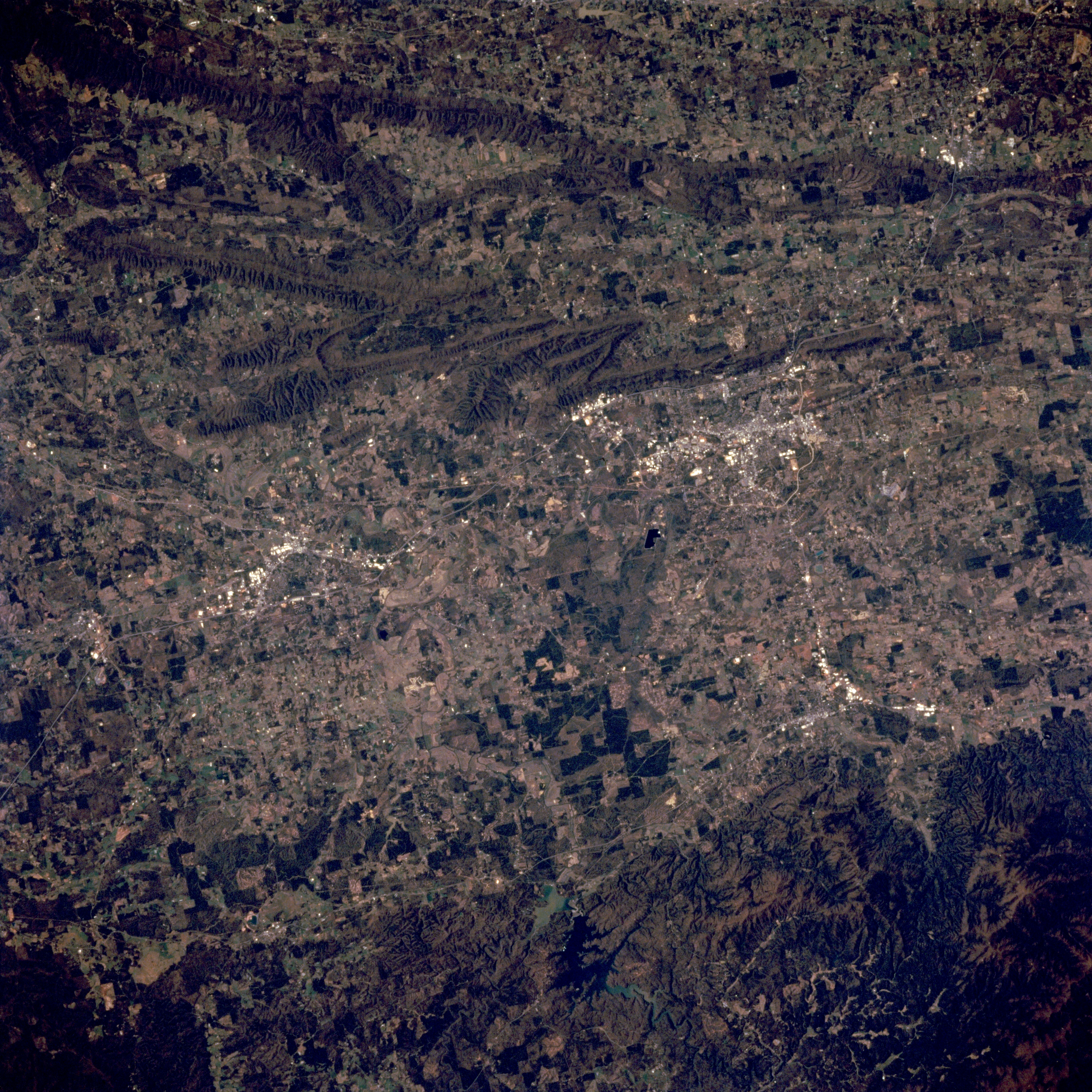
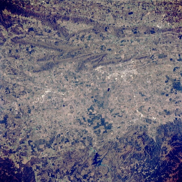
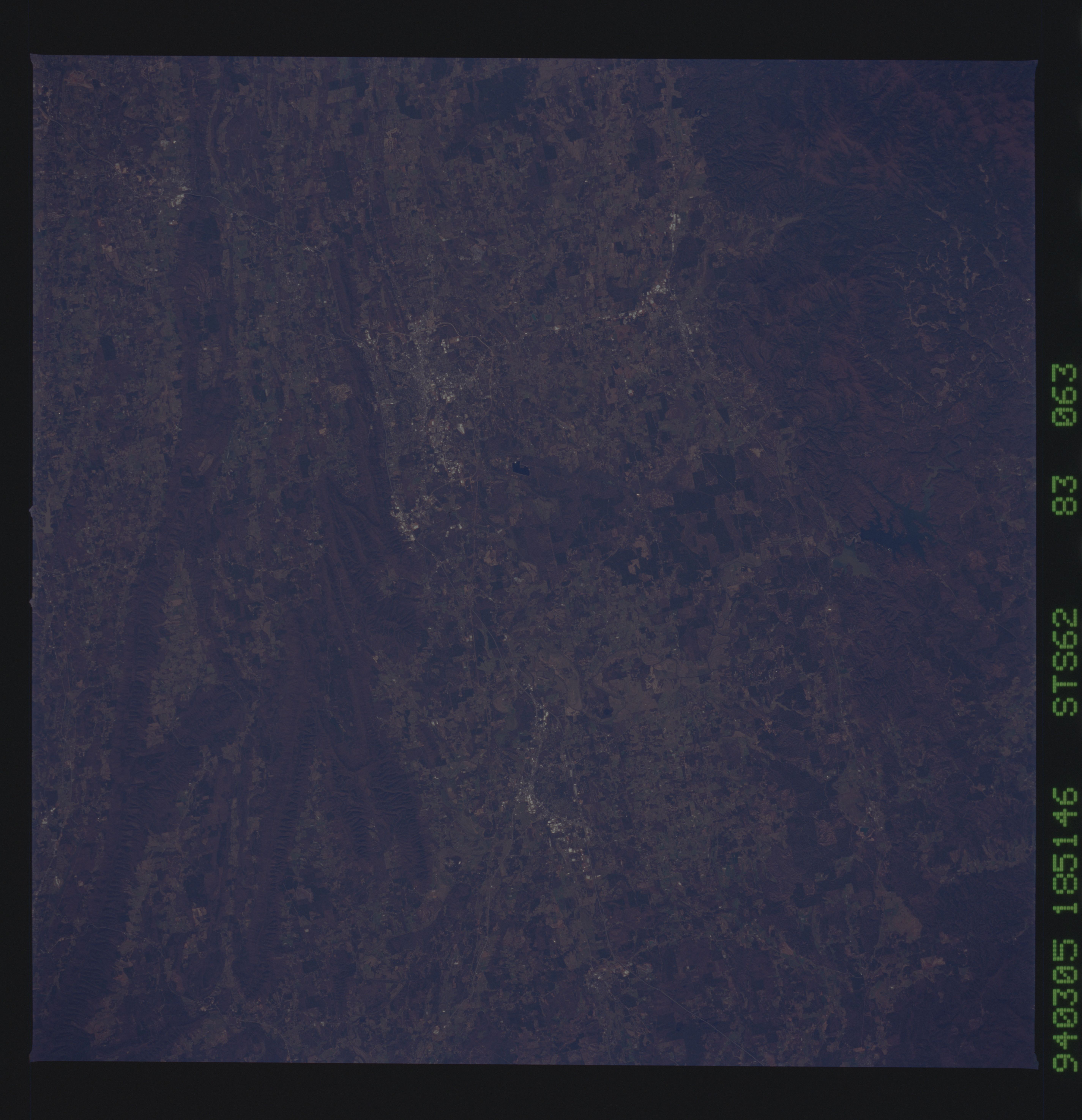
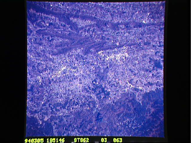
Image Caption: STS062-083-063 Northwest Georgia, U.S.A. March 1994
A broad, mainly cultivated, north-south-oriented valley is apparent in this low-oblique photograph of the northwest corner of Georgia. A segment of Interstate Highway 75 along the western side of valley connects the rural communities of Dalton (clustered, lighter area to the north) and Calhoun (smaller, lighter cluster to the south). East of the highway is dark, irregular-shaped Carters Lake (bottom center). Several linear mountain ridges and valleys lie west of the broad valley. The more uniform, darker area (bottom right corner) is part of the Chattahoochie National Forest and the Blue Ridge Mountains.
A broad, mainly cultivated, north-south-oriented valley is apparent in this low-oblique photograph of the northwest corner of Georgia. A segment of Interstate Highway 75 along the western side of valley connects the rural communities of Dalton (clustered, lighter area to the north) and Calhoun (smaller, lighter cluster to the south). East of the highway is dark, irregular-shaped Carters Lake (bottom center). Several linear mountain ridges and valleys lie west of the broad valley. The more uniform, darker area (bottom right corner) is part of the Chattahoochie National Forest and the Blue Ridge Mountains.
