STS062-81-7
| NASA Photo ID | STS062-81-7 |
| Focal Length | 250mm |
| Date taken | 1994.03.04 |
| Time taken | 17:07:51 GMT |
Resolutions offered for this image:
3863 x 3904 pixels 633 x 639 pixels 5700 x 5900 pixels 500 x 518 pixels 640 x 480 pixels
3863 x 3904 pixels 633 x 639 pixels 5700 x 5900 pixels 500 x 518 pixels 640 x 480 pixels

Cloud masks available for this image:
Spacecraft nadir point: 39.1° N, 85.4° W
Photo center point: 39.0° N, 85.0° W
Photo center point by machine learning:
Photo center point: 39.0° N, 85.0° W
Photo center point by machine learning:
Nadir to Photo Center: East
Spacecraft Altitude: 161 nautical miles (298km)
Country or Geographic Name: | USA-INDIANA |
Features: | CINCINNATI AREA, OHIO R. |
| Features Found Using Machine Learning: | |
Cloud Cover Percentage: | 0 (no clouds present) |
Sun Elevation Angle: | 44° |
Sun Azimuth: | 164° |
Camera: | Hasselblad |
Focal Length: | 250mm |
Camera Tilt: | 9 degrees |
Format: | 5046: Kodak, natural color positive, Lumiere 100/5046, ASA 100, standard base |
Film Exposure: | Normal |
| Additional Information | |
| Width | Height | Annotated | Cropped | Purpose | Links |
|---|---|---|---|---|---|
| 3863 pixels | 3904 pixels | No | No | Earth From Space collection | Download Image |
| 633 pixels | 639 pixels | No | No | Earth From Space collection | Download Image |
| 5700 pixels | 5900 pixels | No | No | Download Image | |
| 500 pixels | 518 pixels | No | No | Download Image | |
| 640 pixels | 480 pixels | No | No | Download Image |
Download Packaged File
Download a Google Earth KML for this Image
View photo footprint information
Download a GeoTIFF for this photo
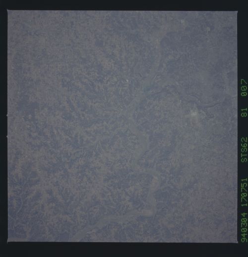
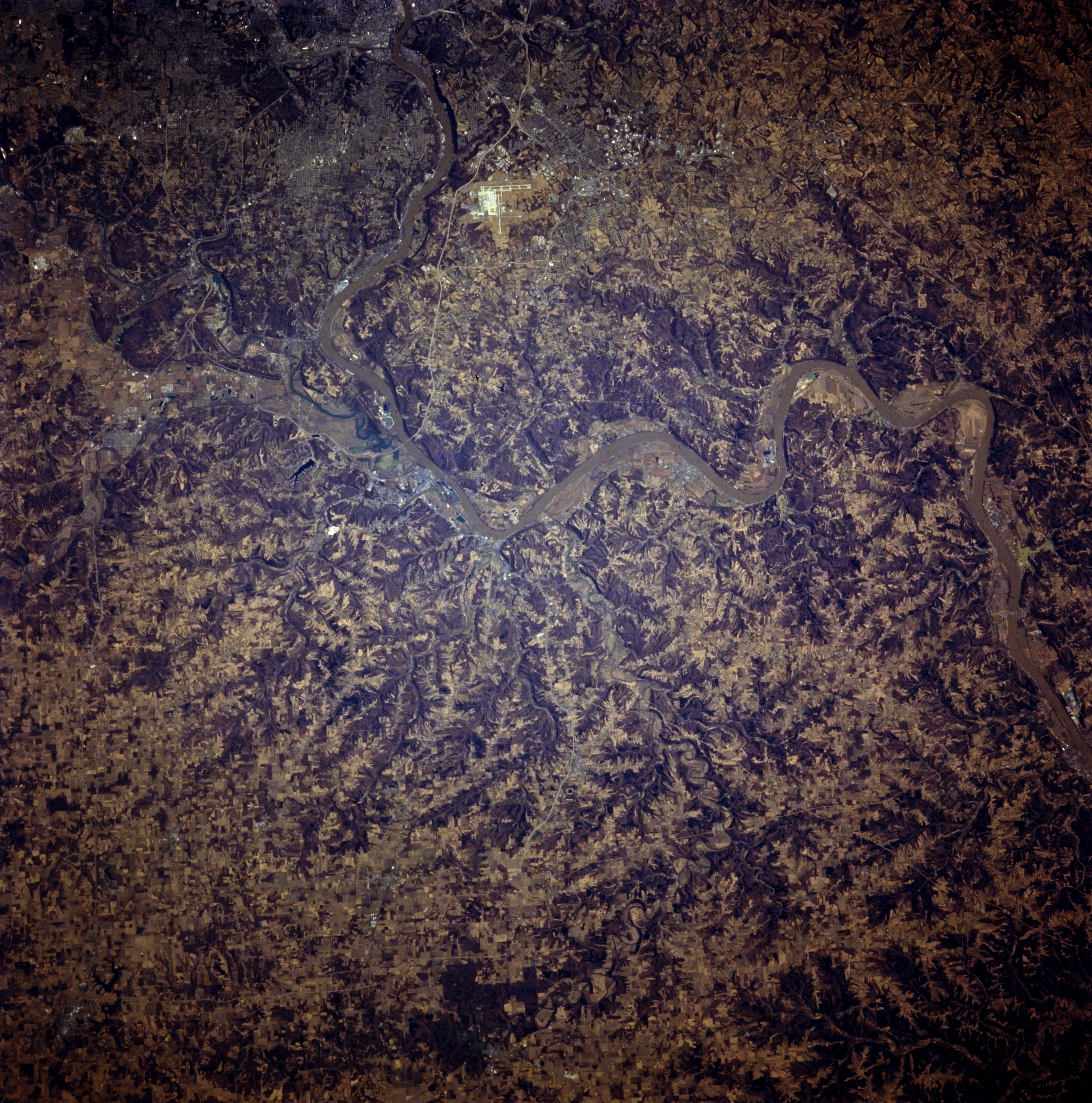
Image Caption: STS062-081-007 Ohio River Valley, Kentucky, U.S.A. March 1994
Apparent are the incised floodplain of the Ohio River, the dark landscape of eroded stream valleys, and the lighter terrain of cultivated hilltops and ridgelines. Barely discernible are the faint outlines of Covington, Kentucky, and western Cincinnati, Ohio (bottom center), west of which is the confluence of the Great Miami River and the Ohio River and still farther west, the convergence of Kentucky, Indiana, and Ohio. Bright, highly reflective Cincinnati-Northern Kentucky International Airport west of Covington is visible (bottom center).
Apparent are the incised floodplain of the Ohio River, the dark landscape of eroded stream valleys, and the lighter terrain of cultivated hilltops and ridgelines. Barely discernible are the faint outlines of Covington, Kentucky, and western Cincinnati, Ohio (bottom center), west of which is the confluence of the Great Miami River and the Ohio River and still farther west, the convergence of Kentucky, Indiana, and Ohio. Bright, highly reflective Cincinnati-Northern Kentucky International Airport west of Covington is visible (bottom center).
