STS062-81-65

| NASA Photo ID | STS062-81-65 |
| Focal Length | 250mm |
| Date taken | 1994.03.05 |
| Time taken | 14:03:48 GMT |
Resolutions offered for this image:
3904 x 3904 pixels 639 x 639 pixels 5700 x 5900 pixels 500 x 518 pixels 640 x 480 pixels
3904 x 3904 pixels 639 x 639 pixels 5700 x 5900 pixels 500 x 518 pixels 640 x 480 pixels
Cloud masks available for this image:
Spacecraft nadir point: 27.9° N, 91.3° W
Photo center point: 29.5° N, 89.5° W
Photo center point by machine learning:
Photo center point: 29.5° N, 89.5° W
Photo center point by machine learning:
Nadir to Photo Center: Northeast
Spacecraft Altitude: 161 nautical miles (298km)
Country or Geographic Name: | USA-LOUISIANA |
Features: | MOUTH OF MISS. R., SED. |
| Features Found Using Machine Learning: | |
Cloud Cover Percentage: | 5 (1-10)% |
Sun Elevation Angle: | 20° |
Sun Azimuth: | 109° |
Camera: | Hasselblad |
Focal Length: | 250mm |
Camera Tilt: | 42 degrees |
Format: | 5046: Kodak, natural color positive, Lumiere 100/5046, ASA 100, standard base |
Film Exposure: | Normal |
| Additional Information | |
| Width | Height | Annotated | Cropped | Purpose | Links |
|---|---|---|---|---|---|
| 3904 pixels | 3904 pixels | No | No | Earth From Space collection | Download Image |
| 639 pixels | 639 pixels | No | No | Earth From Space collection | Download Image |
| 5700 pixels | 5900 pixels | No | No | Download Image | |
| 500 pixels | 518 pixels | No | No | Download Image | |
| 640 pixels | 480 pixels | No | No | Download Image |
Download Packaged File
Download a Google Earth KML for this Image
View photo footprint information
Download a GeoTIFF for this photo
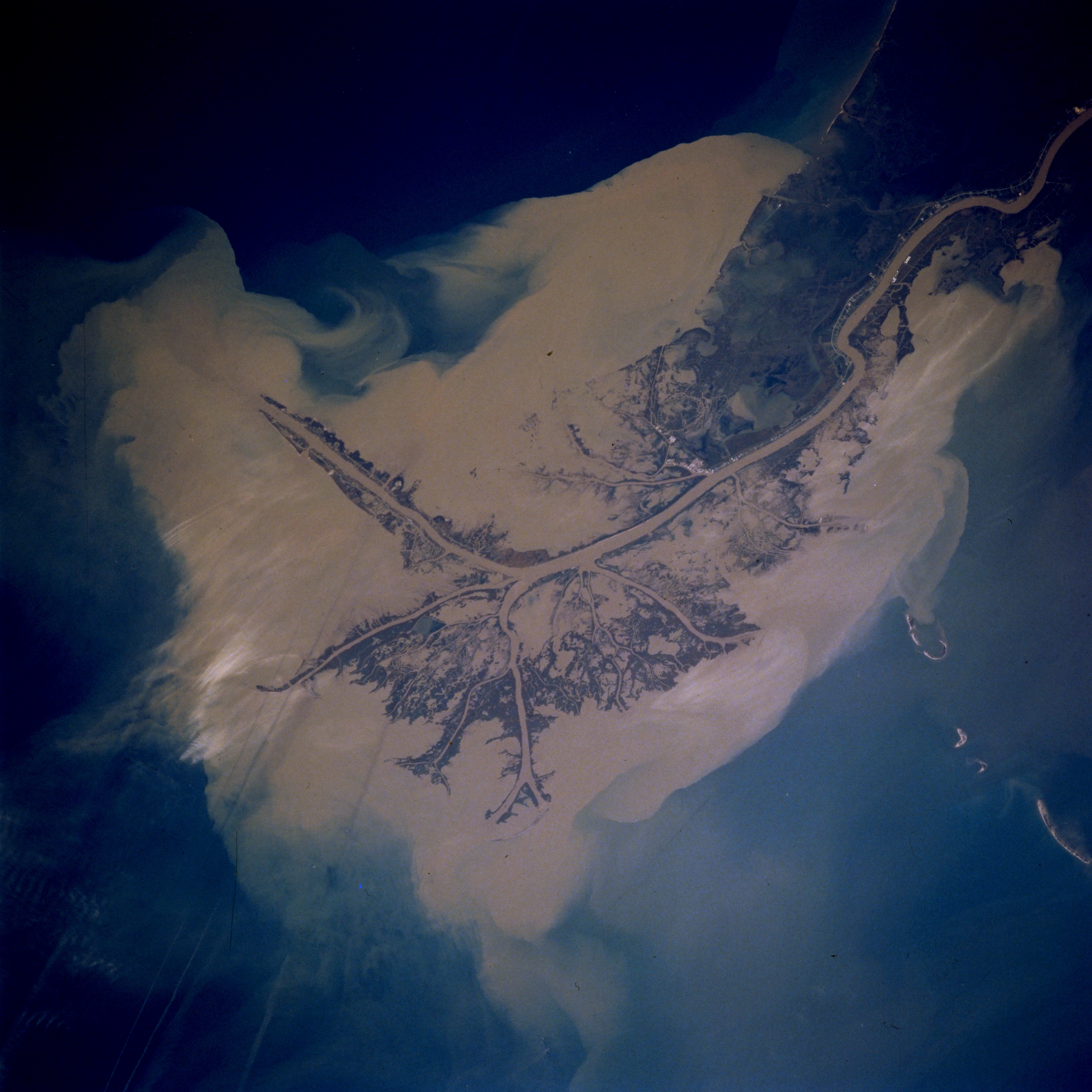
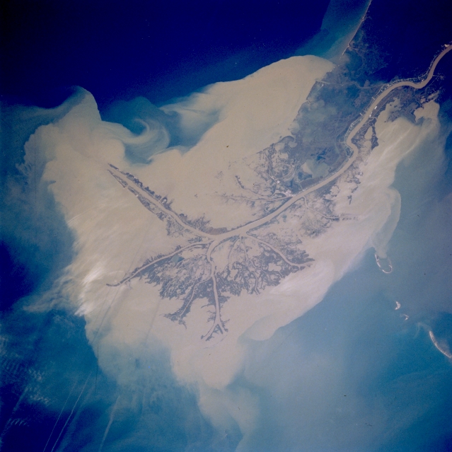
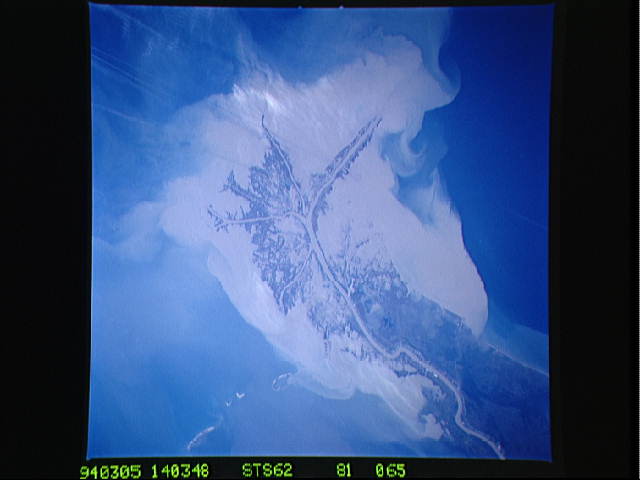
Image Caption: STS062-081-065 Bird's Foot Delta, Mississippi River, Louisiana, U.S.A. March 1994
A constant supply of sediment ensures the dramatic growth into the Gulf of Mexico of the Mississippi River "bird's foot" delta. To ensure that the river is navigable by large, oceangoing vessels, jetties have been built on the westward-projecting main channel through the delta, whose shape changes daily. Because of heavy silting throughout the delta, constant dredging is required to keep the main channel open for ships traveling to New Orleans and beyond. The distance from the southern tip of the delta to the Port of New Orleans is 90 miles (144 kilometers).
A constant supply of sediment ensures the dramatic growth into the Gulf of Mexico of the Mississippi River "bird's foot" delta. To ensure that the river is navigable by large, oceangoing vessels, jetties have been built on the westward-projecting main channel through the delta, whose shape changes daily. Because of heavy silting throughout the delta, constant dredging is required to keep the main channel open for ships traveling to New Orleans and beyond. The distance from the southern tip of the delta to the Port of New Orleans is 90 miles (144 kilometers).
