STS062-81-2
| NASA Photo ID | STS062-81-2 |
| Focal Length | 250mm |
| Date taken | 1994.03.04 |
| Time taken | 17:06:39 GMT |
Resolutions offered for this image:
788 x 792 pixels 3955 x 3948 pixels 640 x 638 pixels 5700 x 5900 pixels 500 x 518 pixels 640 x 480 pixels
788 x 792 pixels 3955 x 3948 pixels 640 x 638 pixels 5700 x 5900 pixels 500 x 518 pixels 640 x 480 pixels
Cloud masks available for this image:
Spacecraft nadir point: 38.7° N, 91.2° W
Photo center point: 39.0° N, 90.5° W
Photo center point by machine learning:
Photo center point: 39.0° N, 90.5° W
Photo center point by machine learning:
Nadir to Photo Center: East
Spacecraft Altitude: 161 nautical miles (298km)
Country or Geographic Name: | USA-ILLINOIS |
Features: | IL., MO. & MS. RIVERS |
| Features Found Using Machine Learning: | |
Cloud Cover Percentage: | 0 (no clouds present) |
Sun Elevation Angle: | 42° |
Sun Azimuth: | 156° |
Camera: | Hasselblad |
Focal Length: | 250mm |
Camera Tilt: | 16 degrees |
Format: | 5046: Kodak, natural color positive, Lumiere 100/5046, ASA 100, standard base |
Film Exposure: | Normal |
| Additional Information | |
| Width | Height | Annotated | Cropped | Purpose | Links |
|---|---|---|---|---|---|
| 788 pixels | 792 pixels | No | No | Cities collection | Download Image |
| 3955 pixels | 3948 pixels | No | No | Earth From Space collection | Download Image |
| 640 pixels | 638 pixels | No | No | Earth From Space collection | Download Image |
| 5700 pixels | 5900 pixels | No | No | Download Image | |
| 500 pixels | 518 pixels | No | No | Download Image | |
| 640 pixels | 480 pixels | No | No | Download Image |
Download Packaged File
Download a Google Earth KML for this Image
View photo footprint information
Download a GeoTIFF for this photo
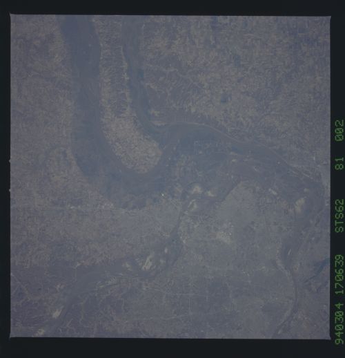
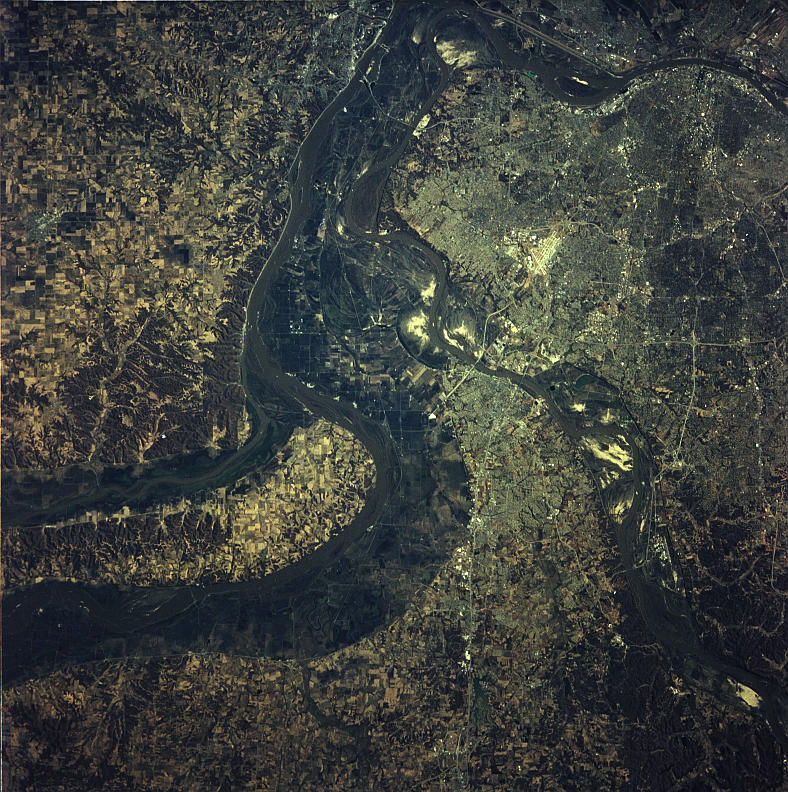
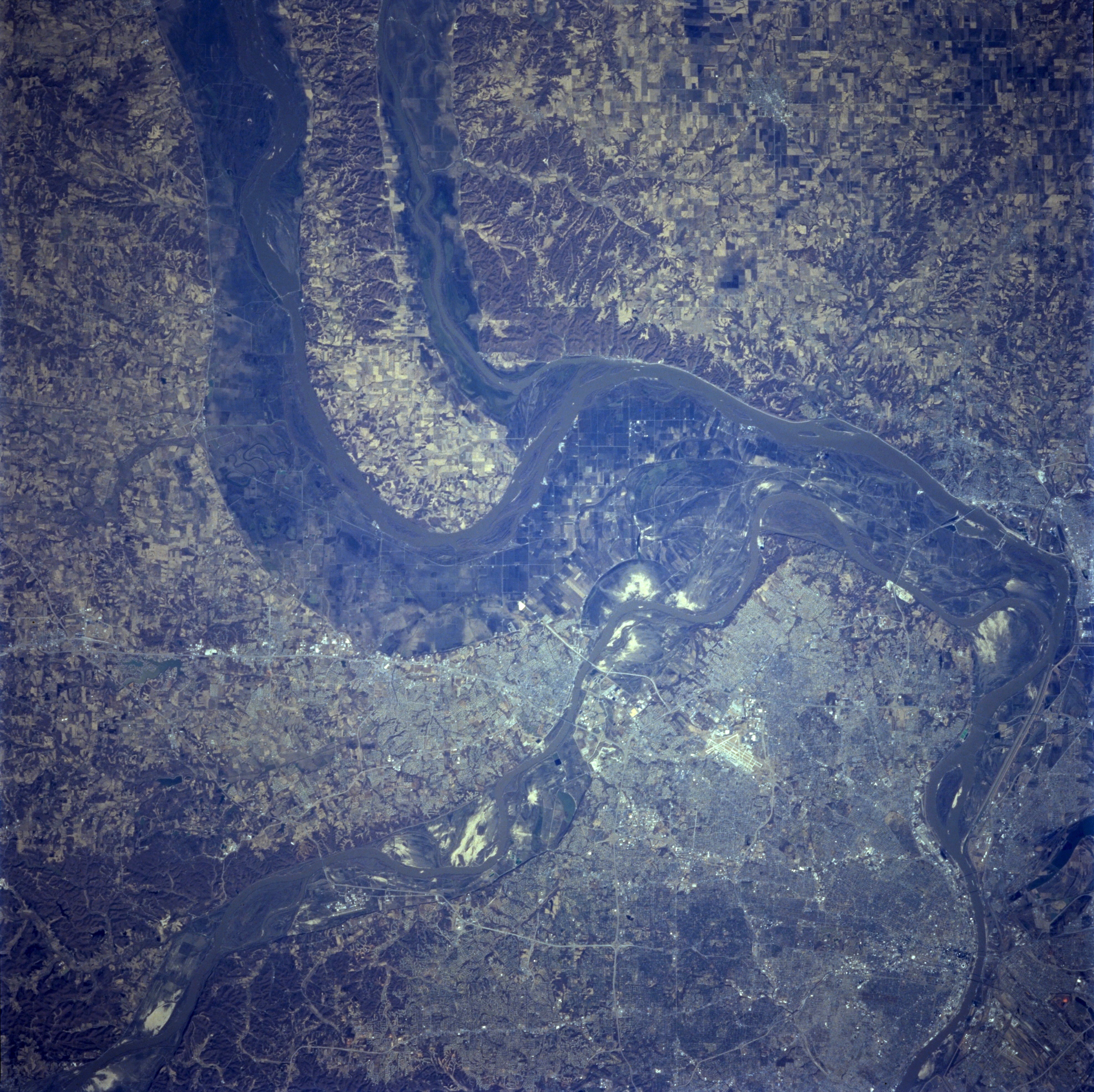
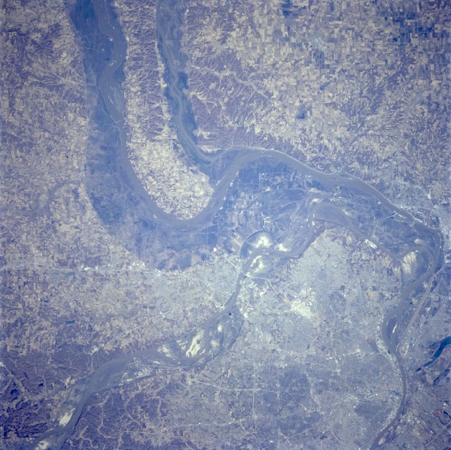
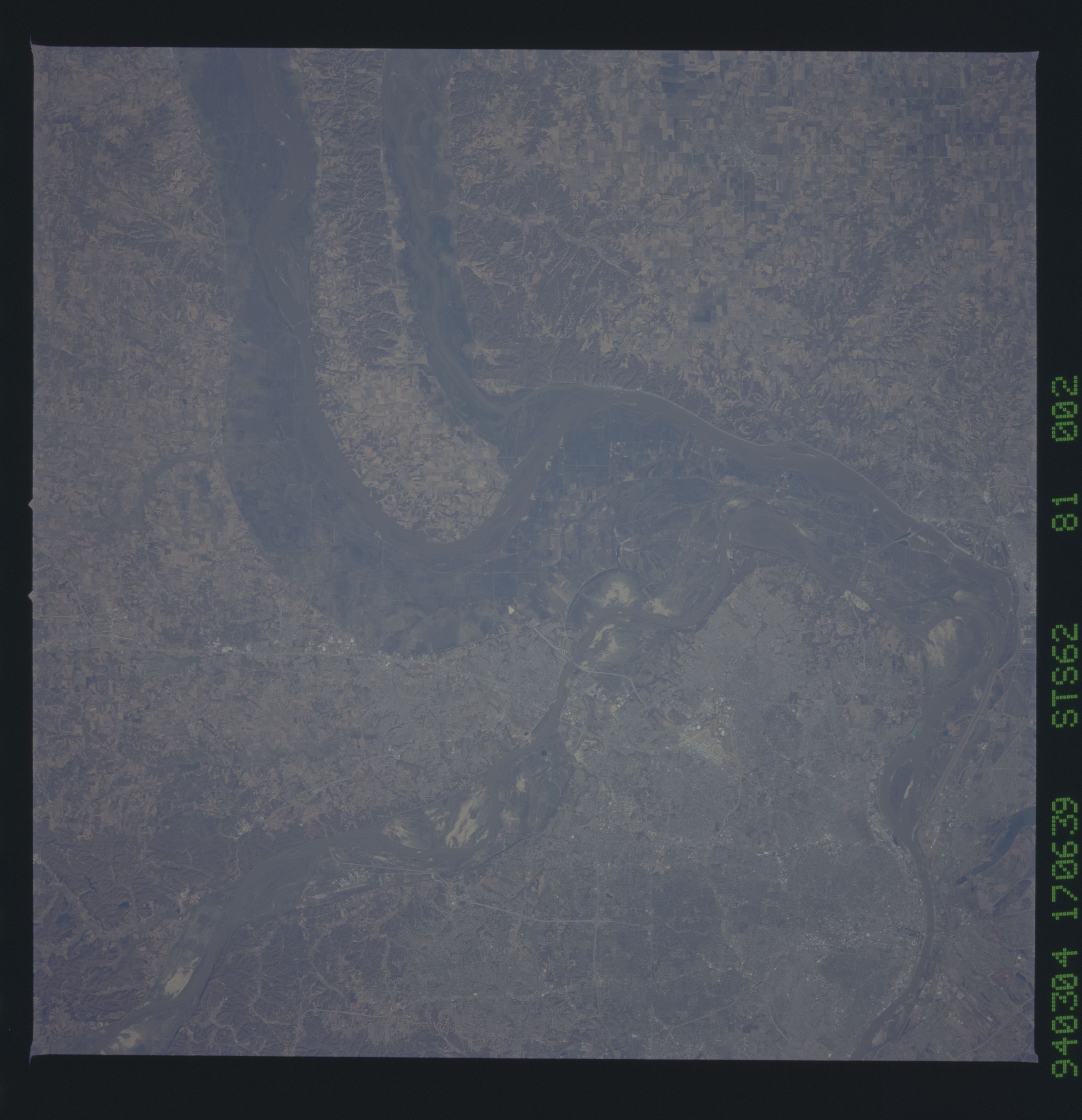
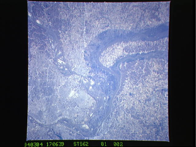
Image Caption: STS062-081-002 Post 1993 Flood, St. Louis Area, Missouri U.S.A. March 1994
This view shows the floodplains and the confluence of the Missouri, Mississippi, and Illinois Rivers, just north of St. Louis. The Illinois River, from top center, joins the Mississippi River midway between the center and upper center of the image. The Missouri River, entering the view near the bottom left of the image, joins the Mississippi River north of St. Louis near the right center. This photo was taken in March, 1994, less than a year after the great floods of the spring and summer of 1993. The flooding that occurred in this region was one of the worst experienced during the 20th century. The flooding deposited silts and sands in the floodplains, seen here as the gray-tan colored regions around the rivers.
This view shows the floodplains and the confluence of the Missouri, Mississippi, and Illinois Rivers, just north of St. Louis. The Illinois River, from top center, joins the Mississippi River midway between the center and upper center of the image. The Missouri River, entering the view near the bottom left of the image, joins the Mississippi River north of St. Louis near the right center. This photo was taken in March, 1994, less than a year after the great floods of the spring and summer of 1993. The flooding that occurred in this region was one of the worst experienced during the 20th century. The flooding deposited silts and sands in the floodplains, seen here as the gray-tan colored regions around the rivers.
