STS062-106-92

| NASA Photo ID | STS062-106-92 |
| Focal Length | 250mm |
| Date taken | 1994.03.17 |
| Time taken | 14:44:02 GMT |
Resolutions offered for this image:
5700 x 5900 pixels 500 x 518 pixels 640 x 480 pixels 2621 x 2593 pixels 2589 x 2615 pixels
5700 x 5900 pixels 500 x 518 pixels 640 x 480 pixels 2621 x 2593 pixels 2589 x 2615 pixels


Cloud masks available for this image:
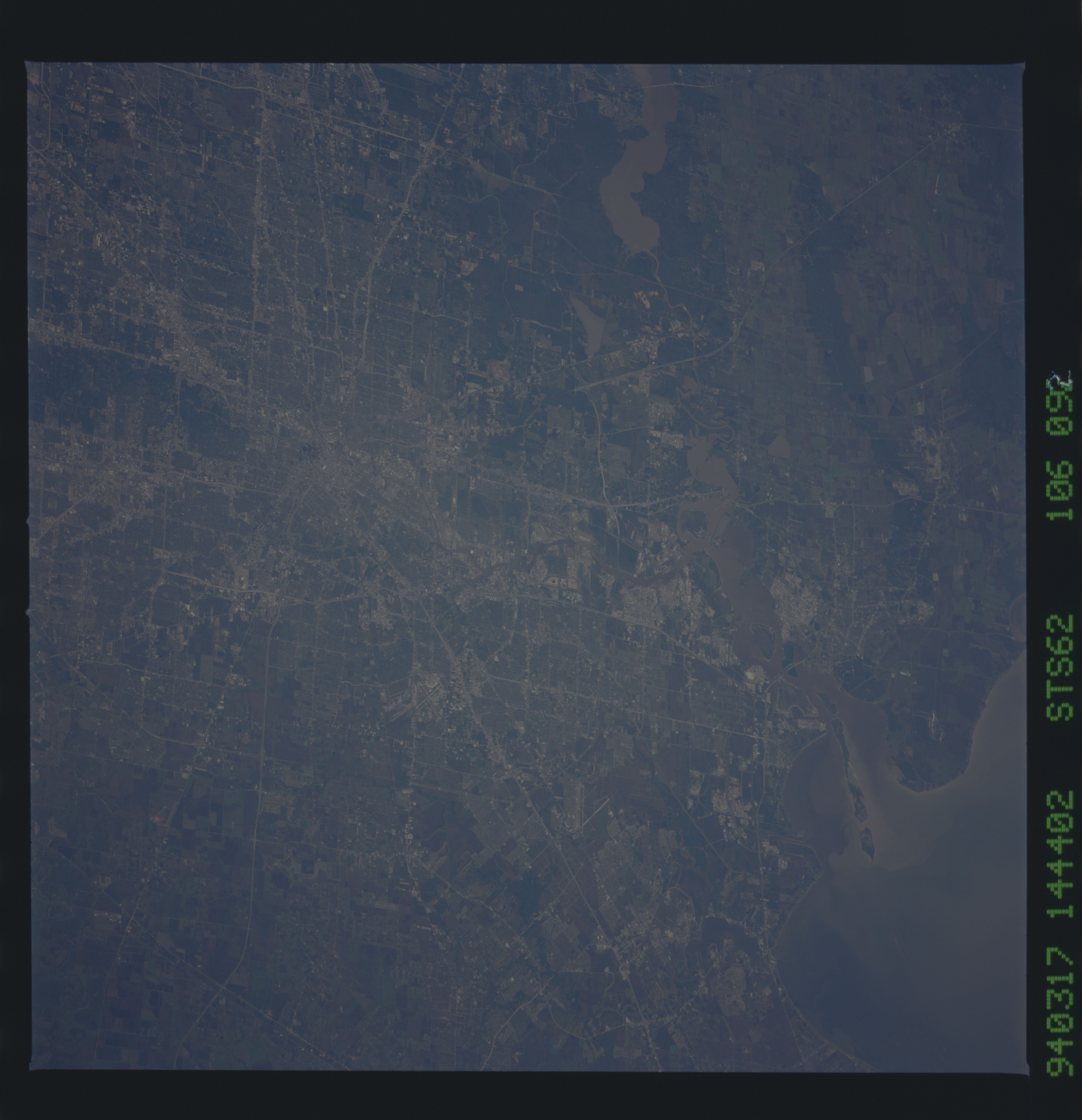
Spacecraft nadir point: 29.1° N, 96.7° W
Photo center point: 29.5° N, 95.5° W
Photo center point by machine learning:
Photo center point: 29.5° N, 95.5° W
Photo center point by machine learning:
Nadir to Photo Center: East
Spacecraft Altitude: 108 nautical miles (200km)
Camera: | Hasselblad |
Focal Length: | 250mm |
Camera Tilt: | 35 degrees |
Format: | 5048: Kodak, natural color positive, Lumiere 100x/5048, ASA 100x, standard base |
Film Exposure: | Normal |
| Additional Information | |
| Width | Height | Annotated | Cropped | Purpose | Links |
|---|---|---|---|---|---|
| 5700 pixels | 5900 pixels | No | No | Download Image | |
| 500 pixels | 518 pixels | No | No | Download Image | |
| 640 pixels | 480 pixels | No | No | Download Image | |
| 2621 pixels | 2593 pixels | Download Image | |||
| 2589 pixels | 2615 pixels | Download Image |
Download Packaged File
Download a Google Earth KML for this Image
View photo footprint information
Download a GeoTIFF for this photo
Image Caption: none
