STS062-106-42
| NASA Photo ID | STS062-106-42 |
| Focal Length | 250mm |
| Date taken | 1994.03.17 |
| Time taken | 06:20:55 GMT |
Resolutions offered for this image:
3940 x 3970 pixels 635 x 639 pixels 5700 x 5900 pixels 500 x 518 pixels 640 x 480 pixels
3940 x 3970 pixels 635 x 639 pixels 5700 x 5900 pixels 500 x 518 pixels 640 x 480 pixels

Cloud masks available for this image:
Spacecraft nadir point: 37.0° S, 142.7° E
Photo center point: 36.0° S, 141.5° E
Photo center point by machine learning:
Photo center point: 36.0° S, 141.5° E
Photo center point by machine learning:
Nadir to Photo Center: Northwest
Spacecraft Altitude: 138 nautical miles (256km)
Country or Geographic Name: | AUSTRALIA-V |
Features: | BURN SCARS, L. HINDMARSH |
| Features Found Using Machine Learning: | |
Cloud Cover Percentage: | 0 (no clouds present) |
Sun Elevation Angle: | 28° |
Sun Azimuth: | 291° |
Camera: | Hasselblad |
Focal Length: | 250mm |
Camera Tilt: | 34 degrees |
Format: | 5048: Kodak, natural color positive, Lumiere 100x/5048, ASA 100x, standard base |
Film Exposure: | Normal |
| Additional Information | |
| Width | Height | Annotated | Cropped | Purpose | Links |
|---|---|---|---|---|---|
| 3940 pixels | 3970 pixels | No | No | Earth From Space collection | Download Image |
| 635 pixels | 639 pixels | No | No | Earth From Space collection | Download Image |
| 5700 pixels | 5900 pixels | No | No | Download Image | |
| 500 pixels | 518 pixels | No | No | Download Image | |
| 640 pixels | 480 pixels | No | No | Download Image |
Download Packaged File
Download a Google Earth KML for this Image
View photo footprint information
Download a GeoTIFF for this photo
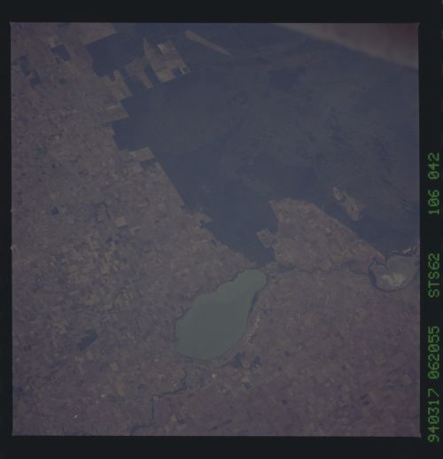
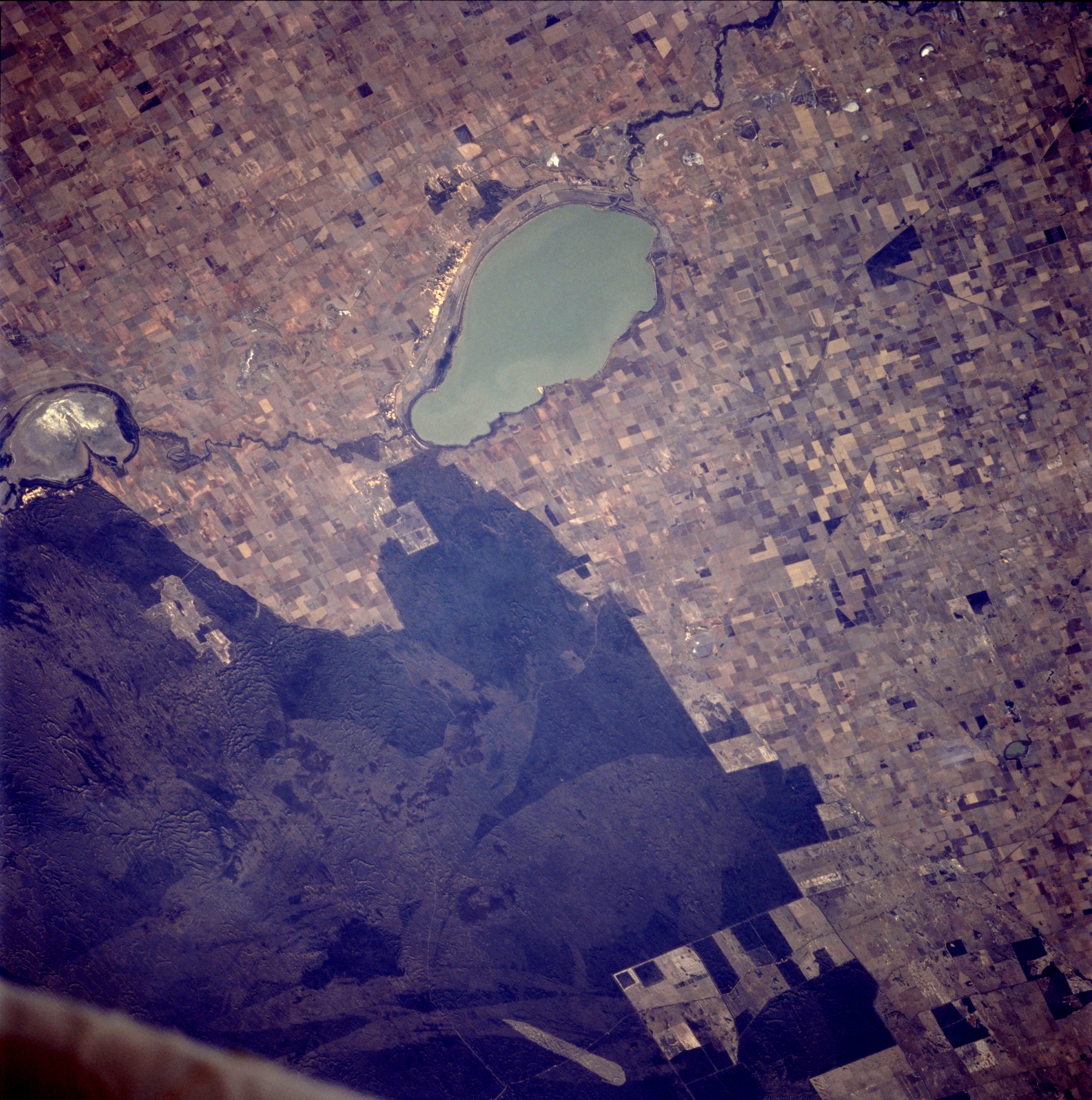
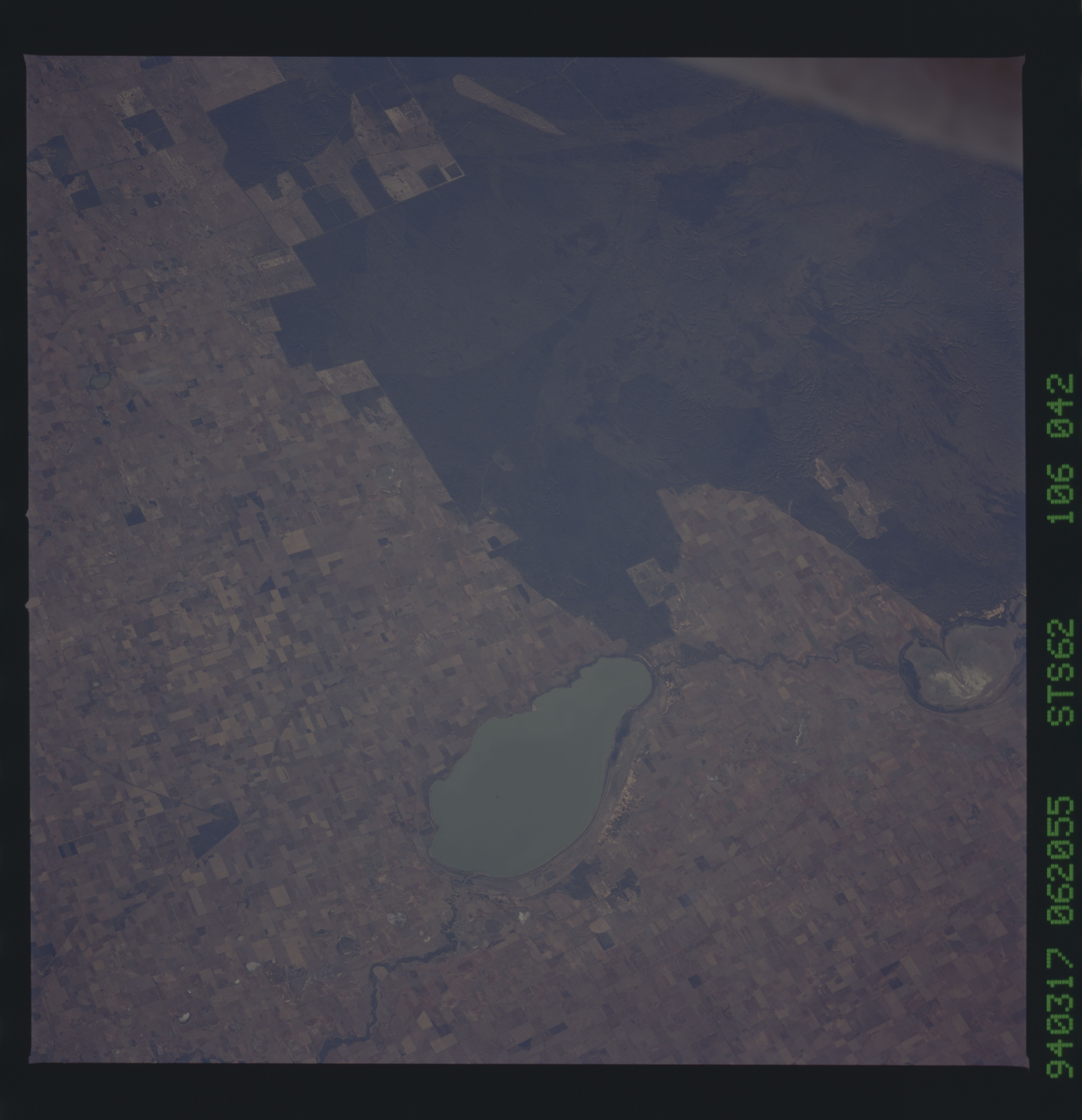
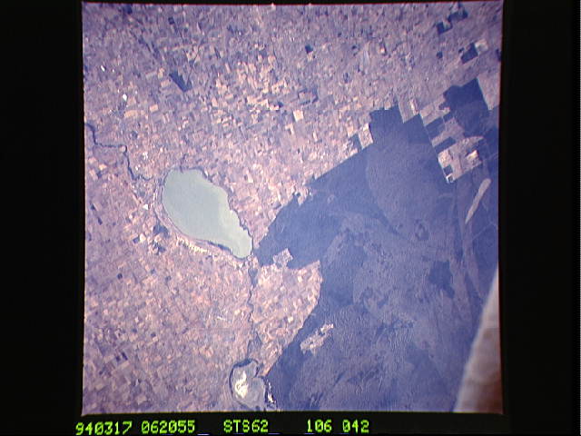
Image Caption: STS062-106-42 Lake Hindmarsh, Victoria, Australia March 1994
Three features--lakes, sand ridges, and agricultural field patterns--characterize this near-vertical photograph of western Victoria Province in southeastern Australia, which is part of the Wimmera internal drainage system. Large Hindmarsh Lake and smaller, dry Lake Albacutya are part of the Wimmera River system that flows northward toward the interior, one of many drainage basins that cover the periphery of the continent. A narrow, meandering ribbon of vegetated river bottom connects these lakes. Northwest of these lakes is an extensive area of sand ridges with some rugged topography visible within the darker, vegetated areas of the sandhills, whose average height is 16 feet (5 meters). The lighter gray shades in the sandhills pinpoint specific areas where fires (usually caused by lightening strikes) have burned the vegetation; lighter fire scars indicate more recent occurrences. Many pasturelands and large cultivated fields, most of which are used for raising sheep and growing commercial grains, are obvious throughout the photograph, except in the northwest quadrant.
This view of southern Australia about 100 miles northwest of Melbourne shows areas of protected reserves of natural forests in the midst of agricultural crop lands. The green patch seen here has been recently burned as indicated by the irregular large scar. The impact of winds on the scar is clearly visible.
Brushland and agriculture in western New South Wales, west of Swan Hill. Lake Hindmarsh contains water; Lake Albacutya does not. Despite regrowth, fire scars within the uncleared brushland allow the underlying pattern of ancient sand dunes to be discerned.
