STS060-87-44
| NASA Photo ID | STS060-87-44 |
| Focal Length | 100mm |
| Date taken | 1994.02.07 |
| Time taken | 20:21:51 GMT |
Cloud masks available for this image:
Spacecraft nadir point: 47.4° N, 111.3° W
Photo center point: 54.0° N, 120.5° W
Photo center point by machine learning:
Photo center point: 54.0° N, 120.5° W
Photo center point by machine learning:
Nadir to Photo Center: Northwest
Spacecraft Altitude: 190 nautical miles (352km)
Country or Geographic Name: | CANADA-BC |
Features: | ROCKY MTS., FRASER RIVER |
| Features Found Using Machine Learning: | |
Cloud Cover Percentage: | 0 (no clouds present) |
Sun Elevation Angle: | 27° |
Sun Azimuth: | 192° |
Camera: | Hasselblad |
Focal Length: | 100mm |
Camera Tilt: | High Oblique |
Format: | 5017: Kodak, natural color positive, Ektachrome, X Professional, ASA 64, standard base |
Film Exposure: | Normal |
| Additional Information | |
| Width | Height | Annotated | Cropped | Purpose | Links |
|---|---|---|---|---|---|
| 5700 pixels | 5900 pixels | No | No | Download Image | |
| 500 pixels | 518 pixels | No | No | Download Image | |
| 640 pixels | 480 pixels | No | No | Download Image |
Download Packaged File
Download a Google Earth KML for this Image
View photo footprint information
Download a GeoTIFF for this photo
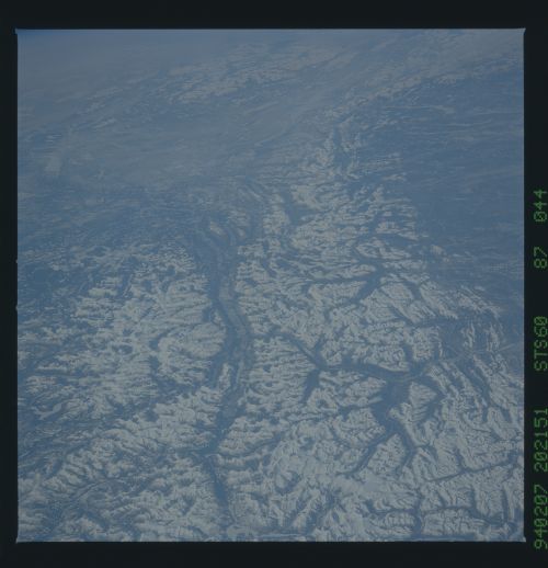
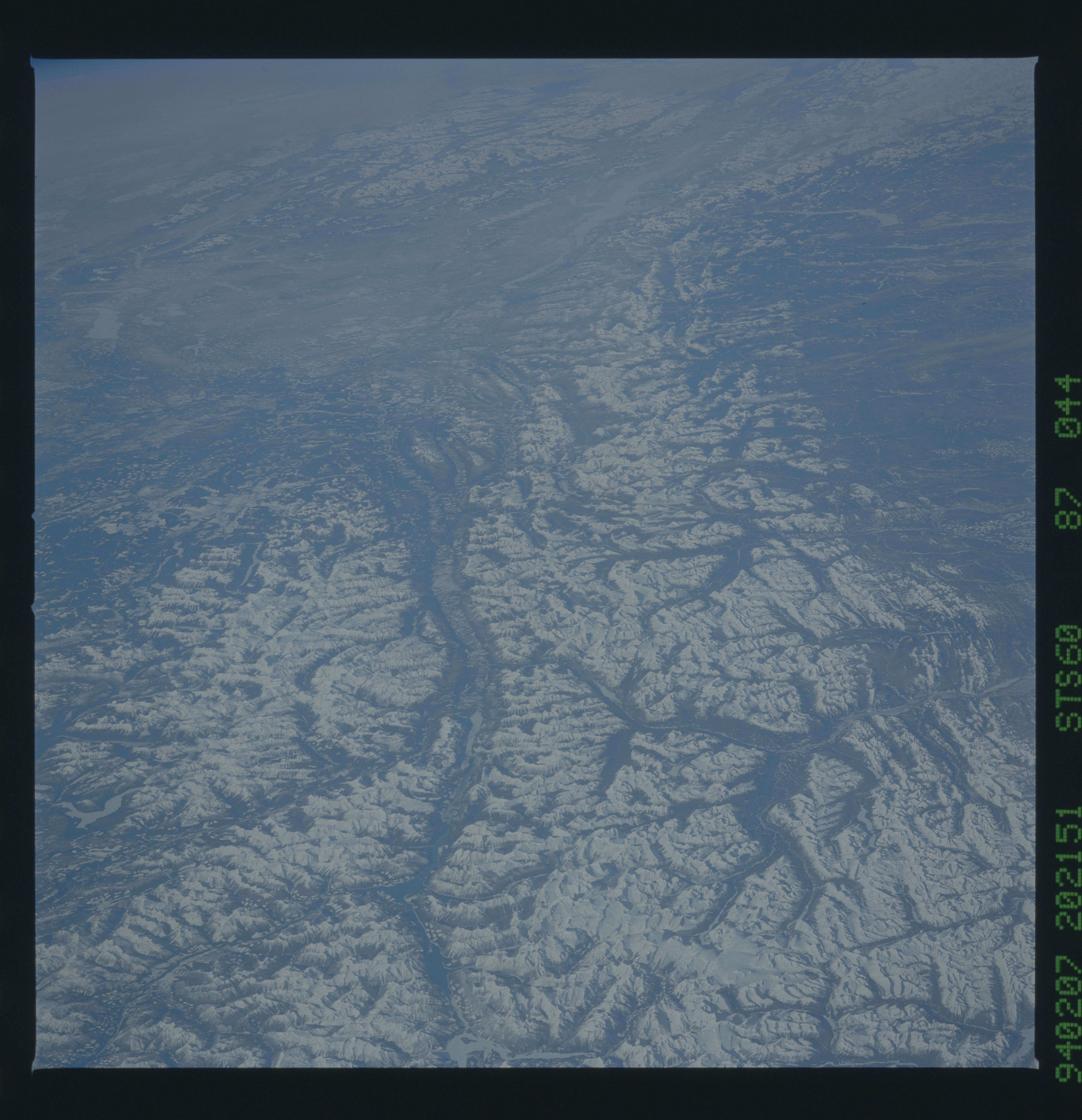
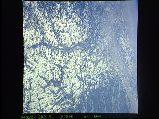
Image Caption: STS060-87-44 Rocky Mountain Trench
A northwest view of the Rocky Mountain Trench in the Canadian Rocky
Mountains. The Fraser River is situated in the valley formed by the
trench. Numerous glaciated lakes, frozen when the photograph was
taken, can be seen to the top of this photograph. The largest frozen
lake in the top part of this view is Williston Lake. T253
